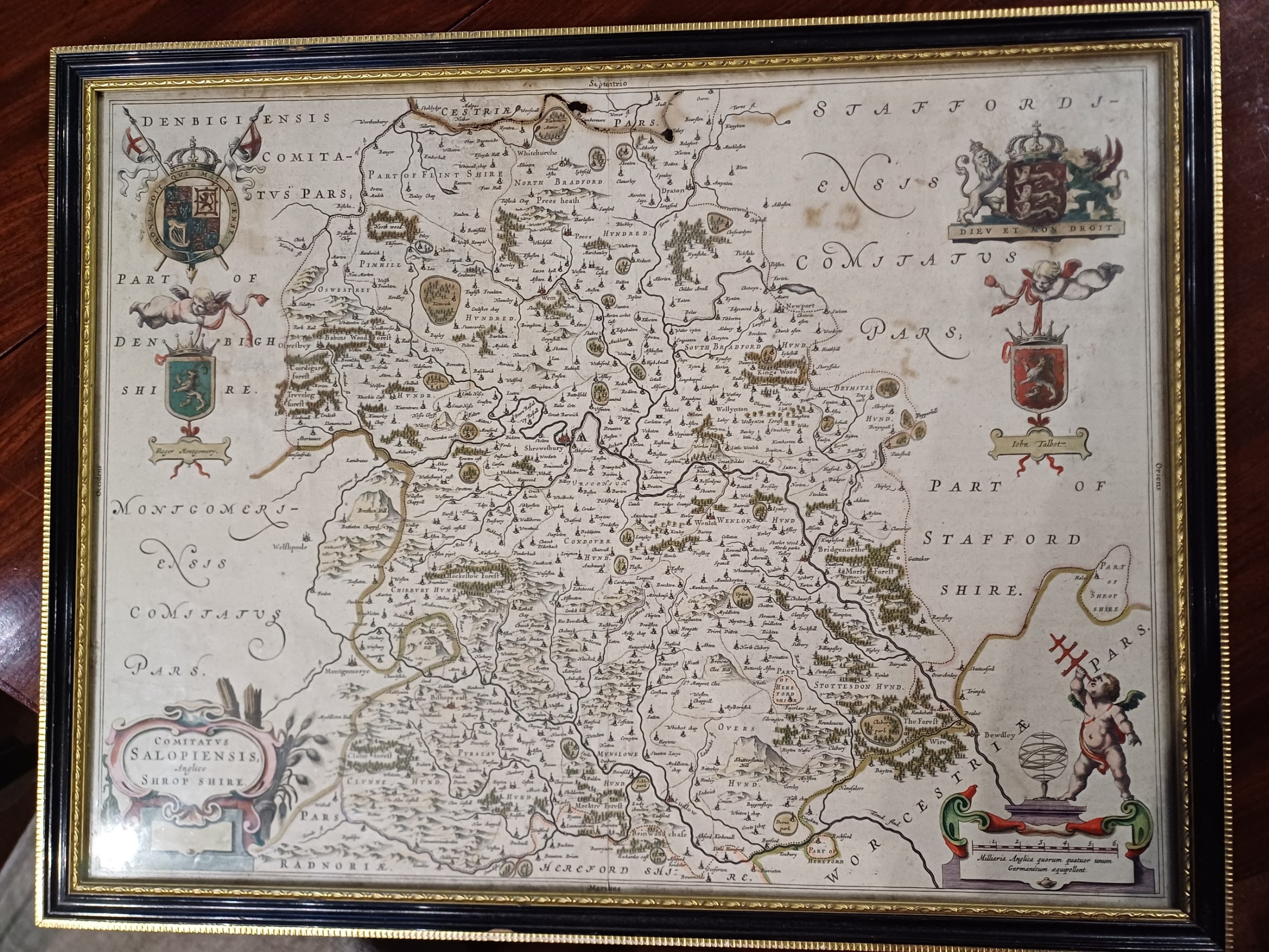
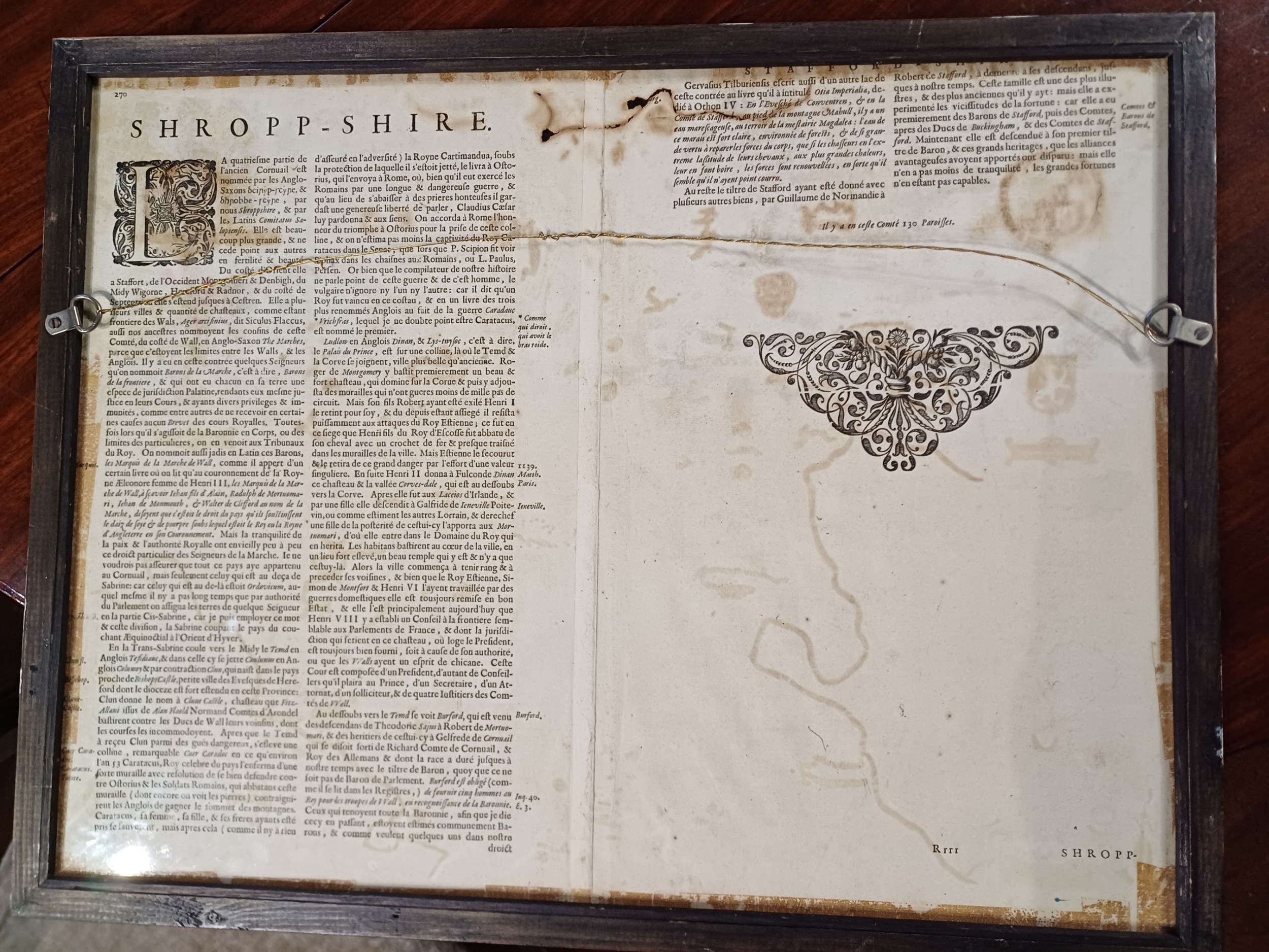
James Reeve (Quinneys of Warwick) has dated this piece to the 17th Century.
It is in a traditional Hogarth frame.
Joan Blaeu was from the famous firm of Dutch cartographers and publishers that was established in the late 16th century by Willem Janszoon Blaeu in Amsterdam.
In 1645 Joan Blaeu published a county Atlas of England and Wales as part of his Atlas Novus, with maps based mainly on the earlier research of Saxton and Speed. The atlas was regarded as a masterpiece with a balanced style and calligraphic quality that has never been surpassed
James Reeve (Quinneys of Warwick) has dated this piece to the 17th Century.
Mainly specialising in georgian furniture
You can view the stock and full dealer information on the James Reeve (Quinneys of Warwick) Profile Page
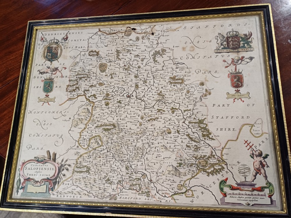
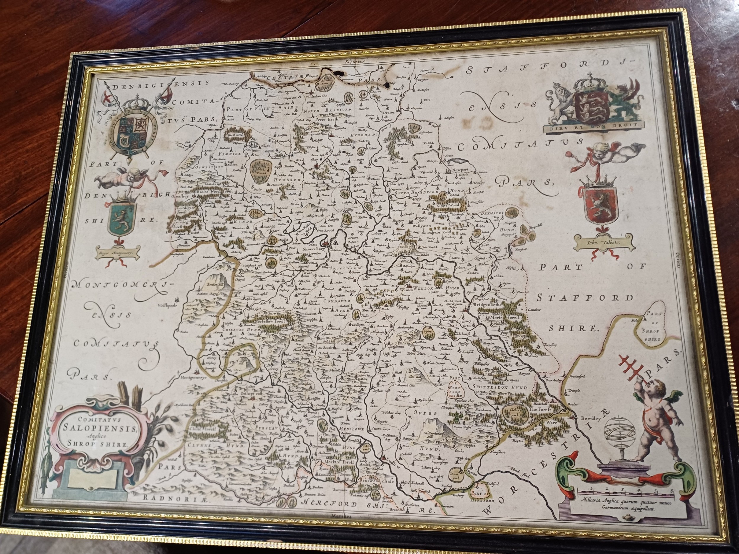
Map of Shropshire, by J. Blaeu. 1645