








Antique Cartography Wall Art
Antique cartography wall art brings centuries of geography and copperplate engraving into modern rooms through framed county maps and continental charts.
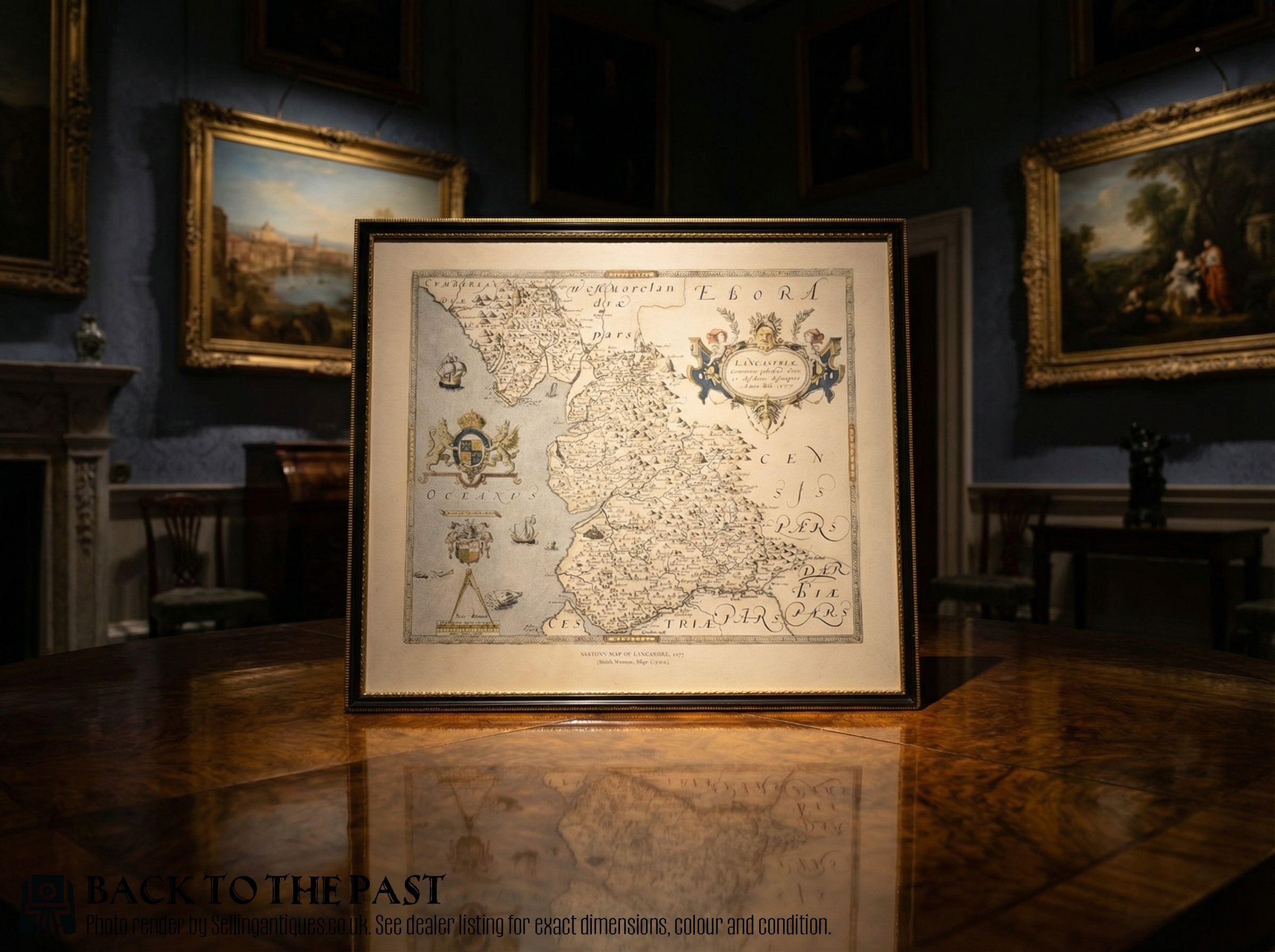
Antique Cartography Wall Art
Antique cartography wall art encompasses framed county maps, atlas engravings, and regional charts produced from the seventeenth century through the Victorian era. These pieces record shifting borders, place names, and geographical knowledge using hand-coloured copperplate or steel printing techniques.
Buyers on this page most commonly encounter framed British county maps by makers such as Robert Morden and John Speed, alongside continental works originating from Dutch and French presses. These are typically presented behind glass in wooden frames suited to domestic display.
The material record spans centuries, moving from early seventeenth-century Dutch cartography to nineteenth-century steel engravings and lithographs. Each format preserves historical geography within a framed presentation ready for interior walls.
Materials and production methods
Makers printed these maps using engraved copper or steel plates pressed onto handmade or rag paper. Artisans frequently applied watercolour by hand to delineate boundaries, titles, and decorative cartouches.
Framing utilised traditional timbers such as oak, often paired with gilt wood mouldings to protect the paper from handling and environmental exposure. Glazing completed the construction, sealing the delicate ink and pigment against dust.
Antique Cartography Wall Art Retail Price Guide 2026
Typical asking prices for cartography wall art among the pieces listed under this phrase on Sellingantiques today, from the lower quarter to the upper quarter. They describe what is for sale here now, not the wider market.
Early mapmakers filled empty ocean spaces with elaborate sea monsters and sailing ships to soothe nervous sailors.
Factors of quality and execution
Quality rests upon the clarity of the plate impression, the precision of the engraving work, and the crispness of the surrounding text. Early strikes from copperplates retain fine lines that later impressions lose as the metal wears.
The application of contemporary hand-colouring distinguishes superior examples, where pigments remain stable and complement the topography without obscuring engraved details. Preservation of full margins around the printed plate mark further separates standard items from finer survivals.
Blaeu·John Speed·Johannes Janssonius·Robert Morden·Emanuel Bowen·John Cary
The Antique Cartography Wall Art Glossary
- Cartouche
- A decorative frame enclosing the map's title, scale, or dedication. These ornate panels often reflect the artistic style of the period.
- Copperplate engraving
- A intaglio printmaking technique where lines are incised into a copper sheet with a burin. Ink is forced into the grooves to transfer the image onto paper.
- Plate mark
- The indentation left on paper by the edge of the printing plate under pressure. Its presence confirms an authentic antique impression.
- Lithography
- A planographic printing method based on the repulsion of oil and water, widely utilised in the nineteenth century for producing detailed maps.
- Atlas
- A bound collection of maps, individual leaves of which are frequently removed for framing. These sheets retain the textual descriptions or pagination marks from their source volumes.
Antique Cartography Wall Art: Frequently Asked Questions
How do I date an antique map?
Dating relies on internal evidence such as cartographer signatures, historical place names, plate publisher details, and stylistic markers in the decorative cartouches. Reference to historical editions, such as Camden's Britannia, also helps pinpoint the year of publication.
Paper quality, watermark analysis, and the typography of the accompanying text provide further confirmation of whether a sheet originates from a seventeenth-century atlas or a later Victorian printing.
Were these maps originally published in books?
Many cartographic works began as folding plates within county histories, atlases, or geographical compendiums before being separated and framed for wall display. This explains why standard margins often show historic binding folds or stitch holes.
Individual wall maps were less common in earlier centuries, meaning the majority of framed examples were preserved between protective book boards for generations.
How should I hang antique map art?
These framed pieces require placement away from direct sunlight and strong artificial heat sources to prevent the watercolour pigments from fading and the paper from becoming brittle. UV-filtering glass offers essential protection for vulnerable rag paper.
Stable indoor humidity levels ensure that both the wooden frames and the historic paper substrates remain free from warping or foxing over time.
What is the difference between copperplate and steel engraving?
Copperplate engraving was the standard method for seventeenth- and eighteenth-century maps, yielding rich, slightly raised ink lines on softer handmade paper. The softer metal wore down relatively quickly, limiting the size of the print run.
Steel engraving emerged during the nineteenth century, allowing for much harder plates, finer detail, and larger production runs of precise geographical lines on smoother paper stock.