





Cream Paper Wall Map
A cream paper wall map brings centuries of cartography into a room, offering historical detail and decorative impact for collectors.
Cream Paper Wall Map
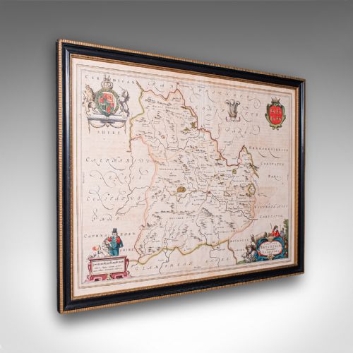
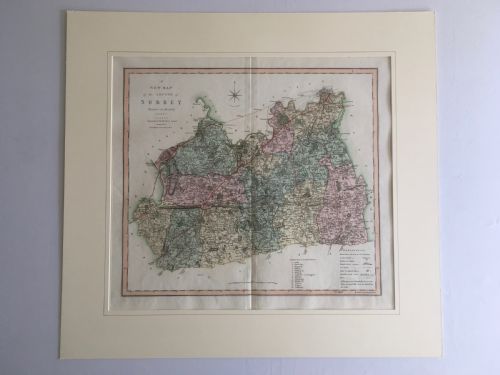
A cream paper wall map represents geographical and historical records presented on aged paper, often framed for display. These pieces range from seventeenth-century county charts to nineteenth-century town plans.
Buyers seeking a cream paper wall map encounter works from the Georgian and Victorian eras, alongside seventeenth-century cartography. Such pieces function as wall art, bringing historical cartography into modern interiors.
The selection includes county maps, world views, and city plans originating from English and European presses. Each item displays the distinct typography and hand-colouring of its period.
How They Were Made
Framing often utilised wood and giltwood, sometimes protecting the paper behind glass. Atlas engravings and copperplate printing formed the foundational imagery before individual colouring took place.
The listings span from the seventeenth century through the Georgian and Victorian periods, utilising paper, ink, watercolour, and giltwood frames.
What Varies in Quality
The clarity of the printing ink and the precision of the cartography determine visual strength. Sharp impression lines from the plate indicate a well-maintained printing matrix.
The survival of original hand-colouring and the condition of the cream paper influence the piece. Strong paper integrity without excessive loss or heavy restoration distinguishes superior examples.
Robert Morden·Joan Blaeu·R Creighton·Jas Wyld·J Harrison·J Duncan·C Smith
The Cream Paper Wall Map Glossary
- Atlas engraving
- A map printed specifically for inclusion in a bound collection of maps. These plates often show distinct neatlines and geographical detailing.
- Cartography
- The science or practice of drawing maps. In antique pieces, this encompasses decorative cartouches, mileage scales, and topographical illustrations.
- Giltwood
- Wood carved and treated with a gold leaf finish. This material frequently appears on the frames enclosing historical wall maps.
- Hand-colouring
- The application of watercolour or pigment by hand after the initial printing process. This technique highlights borders, administrative regions, and decorative elements.
Cream Paper Wall Map: Frequently Asked Questions
How do I hang a wall map safely?
Protect the paper from direct sunlight to prevent the ink and any watercolour wash from fading. Use stable wall fixings suited to the weight of the wood and glass frame.
Ensure the room maintains a consistent humidity level to protect the aged paper and linen backing from moisture damage.
How are different centuries told apart?
Typographical styles, paper texture, and cartographic conventions help distinguish periods. Seventeenth-century maps often feature ornate Latin text and elaborate cartouches.
Nineteenth-century examples frequently show more standardised fonts, industrial printing techniques, and detailed railway or urban expansions.
What is an atlas engraving?
An atlas engraving is a map originally produced for a bound volume of maps rather than for standalone wall display. These pieces were subsequently removed and framed for interior decoration.
They retain the plate marks and precise dimensions standard to bound geographical publications of their respective eras.
Why do some maps feature linen backing?
Linen backing was applied to provide structural support for large folding maps intended for frequent use in the field or office. This textile reinforcement prevented the cream paper from tearing along the folds.
Today, surviving linen-backed maps reflect practical historical handling and storage methods.