

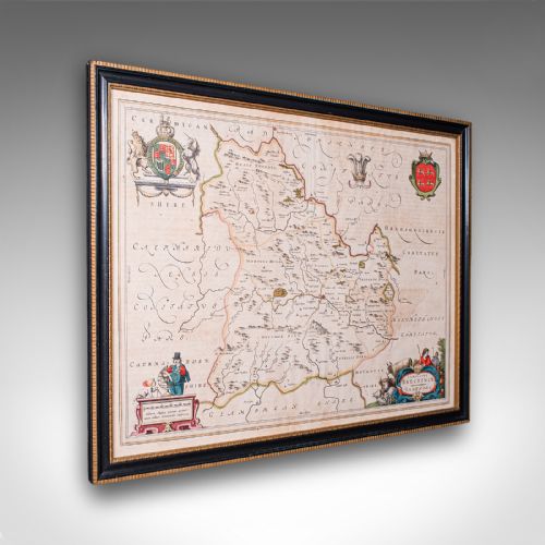
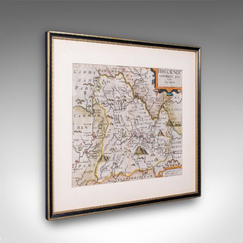
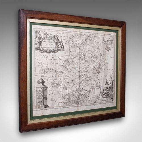


Seventeenth Century County Map
A seventeenth century county map is a paper record of local geography from the 1600s, prized for its decorative borders, heraldry and early cartography.
Seventeenth Century County Map
A seventeenth century county map represents geographical areas of Britain produced during the 1600s, encompassing English, Welsh, and regional territories. These items function as wall art when framed, combining historical topography with decorative cartographic elements.
The versions most commonly met on this page originate from notable atlas publications of the period, executed by both English and Dutch cartographers. Examples range from early 1600s foundational surveys to mid-century works and late-century interpretations.
Many items display regional divisions such as Breconshire, Hertfordshire, Surrey, Suffolk, Caernarvon, Stafford, Dorset, Warwickshire, Worcestershire, and Monmouthshire. These sheets capture early modern boundaries long before modern industrial restructuring altered local landscapes.
What varies in quality
Quality depends upon the clarity of the original engraving and the precision of the contemporary or later hand colouring. Crisp lines on sturdy paper indicate superior production from established presses rather than worn plates.
The condition of the paper surface and the historical significance of the cartographer influence the standing of an individual piece. Work by prominent atlas publishers generally commands greater attention from collectors of period cartography.
Seventeenth Century County Map Retail Price Guide 2026
Typical asking prices for seventeenth century county map among the pieces listed under this phrase on Sellingantiques today, from the lower quarter to the upper quarter. They describe what is for sale here now, not the wider market.
Early cartographers filled empty regional waters with charming sea monsters and elaborate sailing ships to amuse the reader.
Joan Blaeu·John Speed·William Hole·Robert Morden
The Seventeenth Century County Map Glossary
- Cartography
- The science or practice of drawing maps. This discipline defined the visual and geographical layout of early modern counties.
- Atlas
- A bound collection of maps published together as a volume. Many individual county sheets originate from these large reference books.
- Dual-sided
- Having text, tables, or illustrations printed on both the front and back of the sheet. This format is typical of atlas pages from the period.
Seventeenth Century County Map: Frequently Asked Questions
How were these maps originally bound?
Most of these sheets started their existence bound inside large folio atlases rather than hanging loose on a wall. Binders folded and stitched the paper into volumes alongside historical descriptions.
Separation from the original binding usually occurred centuries later to allow framing and display as individual works of art.
Why do some maps have text on the back?
Atlas publishers routinely printed descriptive text, historical notes, or tables on the reverse side of county maps. This provided the reader with a comprehensive gazetteer of the region shown on the front.
Framers sometimes mount dual-sided sheets to ensure the text remains visible or protected between glass.
How should I display a paper map?
Conservation framing using UV-filtering glass and acid-free backing protects fragile seventeenth-century paper from light damage and atmospheric decay. Keeping the piece away from direct sunlight preserves the hand-applied watercolours.
Stable indoor humidity prevents the paper from warping or becoming brittle within the frame.
How do I identify the cartographer?
Cartographers usually signed their work within the decorative title cartouche or along the margins of the engraved plate. Comparing the style of the typography and border artwork helps attribute unsigned sheets.
Reference volumes cataloguing seventeenth-century atlas publications provide definitive confirmation of publisher editions.