









Framed Paper Map Print
When you search for framed paper map print, you find centuries of cartography set behind glass in wood and gilt frames, ready to hang.
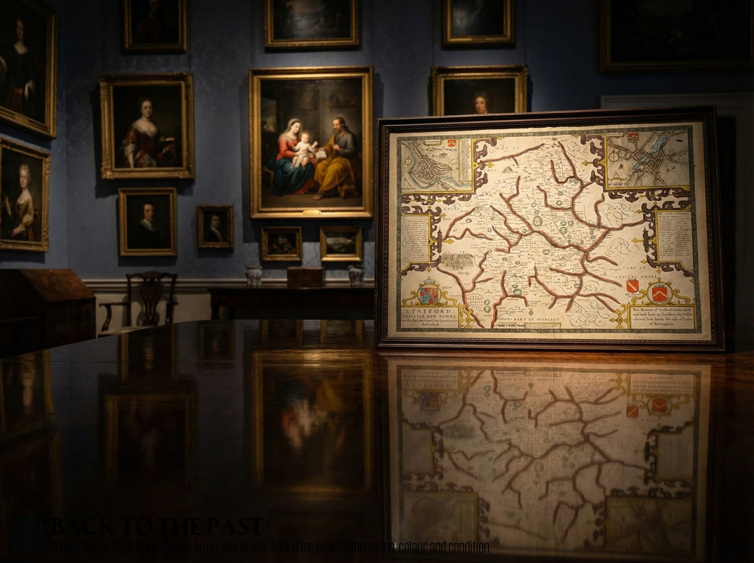
Framed Paper Map Print
A framed paper map print brings historical geography into a room, showing towns, counties, and continents as past surveyors recorded them. These pieces span the 17th century, the Georgian era, and the Victorian period, reflecting shifting borders and changing scientific knowledge.
The selections on this page range from local county maps of English shires to continental town plans and world charts. English, Dutch, and French cartography dominate the offerings, often framed in wood or gilt wood under protective glass.
Many of these works originated as plates in historic atlases or topographical books before finding their way into wall art formats. The paper bears the weight of age, carrying ink, watercolour, and engraved lines from centuries past.
Materials and methods
Framing materials rely primarily on timber such as oak alongside gold leaf and gilt wood mouldings. Glazing protects the delicate paper surface from atmospheric moisture and handling damage while displaying the graphic lines.
Early mapmakers filled empty ocean spaces with sea monsters and sailing ships to deter superstitious dread.
Distinctions in standard
Quality rests upon the clarity of the engraved line and the precision of any hand-applied pigment. Early printings pulled from fresh plates yield sharper details than later impressions taken after plates wore down.
The historical significance of the cartographer and the preservation state of the paper determine the standing of an individual sheet. Original margins, strong ink contrast, and authentic period framing elevate the piece.
John Speed·Joan Blaeu·Robert Morden·Johannes Janssonius·Christopher Saxton
The Framed Paper Map Print Glossary
- Cartouche
- A decorative frame or panel enclosing the map's title, scale bar, or dedication. These ornate elements often display heraldry, figures, or botanical motifs typical of the period.
- Atlas
- A bound collection of maps published together. Many single sheets originated inside these volumes before being separated and framed.
- Plate
- The copper or metal sheet engraved with the map design. Printers inked this plate under pressure to transfer the image onto paper.
- Hand-coloured
- pigment applied by brush to a printed monochrome map after production. This technique added visual clarity and decorative appeal to county and regional views.
Framed Paper Map Print: Frequently Asked Questions
How do I date an old map?
Examine the cartographic details, place names, and stylistic elements of the title cartouche. Typography and dedication notes often provide clues to the decade of publication.
Printers sometimes reissued plates years later with updated roads or towns, so comparing the internal geographical evidence against known editions confirms the exact printing era.
Are these maps original prints?
The pieces listed are authentic period printings rather than modern reproductions. They derive from historic atlases, books, and loose sheet cartography.
Paper characteristics, plate marks, and ink deposition indicate the age and production method of each individual sheet behind the glass.
How should I hang framed maps?
Protect the paper from direct sunlight to prevent fading of the ink and any watercolour washes. Stable indoor humidity keeps the paper and wooden frames from degrading.
Use secure picture hooks suited to the weight of the timber and glass assembly, ensuring the piece hangs flat against the wall.
What is a county map?
A county map focuses on a specific administrative region, detailing towns, rivers, hundreds, and local estates. British cartographers produced these extensively from the 17th century onward.
They served both administrative needs and the desires of landowners who wished to display their local jurisdiction on their walls.