








Antique Map
An antique map records the geography of past centuries through engraved lines on paper.
Antique Map
Collectors seeking an antique map encounter engraved sheets from the seventeenth, eighteenth, and nineteenth centuries, often preserved behind glass in wooden frames. These pieces delineate counties, countries, and entire continents as cartographers understood them in historical eras.
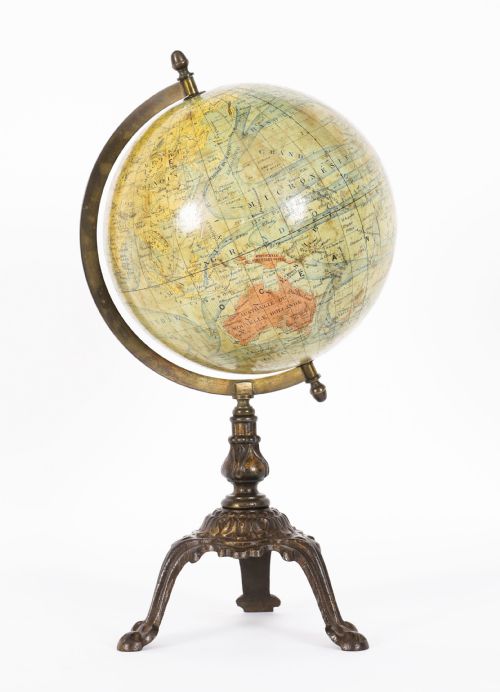
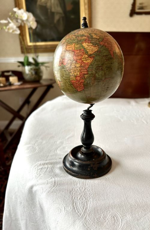
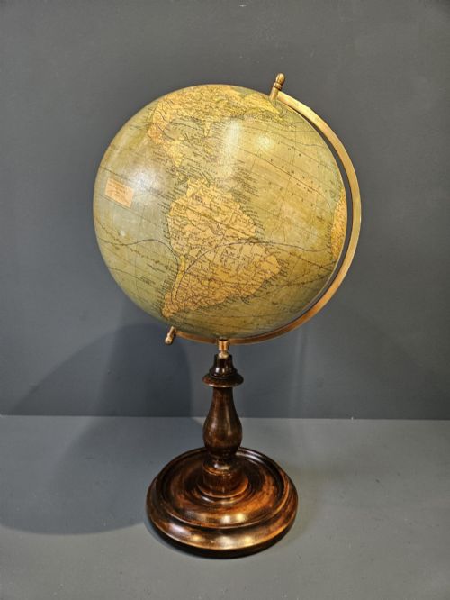
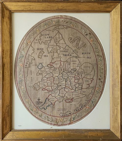
The selection ranges from Dutch atlas plates and English coaching road routes to French town plans and decorative needlepoint samplers worked by children. Terrestrial and celestial globes also appear alongside flat sheets, offering three-dimensional spherical cartography.
Many items derive from bound atlases published in Amsterdam or London, subsequently separated for framing. Regional town plans and colonial territories provide specific local detail for study and display.
Materials and production
Cartographers produced these works by carving lines into copper printing plates, which transferred the image onto laid or wove paper using black or coloured ink. Hand-colouring was frequently applied afterward using watercolours, adding boundary tints and decorative cartouches.
Framed examples utilise timber mouldings, glass, and paper backings to protect the delicate sheets from atmospheric moisture. Globes combine plaster, paper mache, and brass meridian rings mounted on wooden stands made from mahogany, walnut, or oak.
A nine-year-old stitched the geography of England into fabric in 1811, proving geography homework was once entirely textile.
Factors determining quality
Quality rests upon the clarity of the original copperplate engraving, the precision of the hand-applied colour, and the preservation of the paper margins. Impressions taken early in a plate's lifespan show sharp, crisp lines, whereas worn plates yield blurred details.
Condition involves the absence of heavy foxing spots, water staining, and trimmed borders that remove vital publisher attribution. The prestige of the cartographer, such as Joan Blaeu or John Speed, significantly influences the standing of a piece.
Joan Blaeu·John Speed·George Philips and Son·Maple and Co·Mappin and Webb
The Antique Map Glossary
- Cartography
- The science or practice of drawing maps. This encompasses both flat sheet engravings and spherical globes.
- Cartouche
- A decorative frame enclosing the map's title, scale bar, and publisher details. These ornate elements often feature allegorical figures or heraldic shields.
- Foxing
- Brown age spots caused by chemical reactions in the paper over long periods. Environmental humidity commonly accelerates this process.
- Plate mark
- The indentation left on the paper by the edge of the copper printing plate under high pressure. This confirms the piece originated from a traditional press.
- Terrestrial globe
- A spherical representation of the Earth mounted on a stand. These objects display historical political boundaries and trade routes.
Antique Map: Frequently Asked Questions
Are these maps original or reproductions?
Genuine examples exhibit plate marks, genuine hand-applied watercolour washes, and paper consistent with historical manufacturing methods.
Close inspection under magnification reveals the characteristic dot patterns of modern printing versus the distinct lines of copperplate engraving.
How should I hang an antique map?
Select an interior wall away from direct sunlight, heating vents, and damp environments to protect the fragile paper.
Ensure framing utilises acid-free mount boards and conservation-grade glass to preserve the sheet over time.
Why do some maps have Latin text on the back?
Publishers during the seventeenth century frequently printed descriptive geographical text on the reverse of atlas sheets.
This text provides contemporary context regarding the region depicted on the front of the page.