


Antique Desk Globe
An antique desk globe maps the earth in miniature, bringing tangible geography and historical cartography directly to a study or library table.
Antique Desk Globe
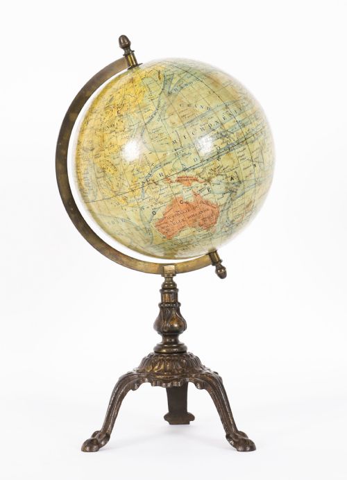
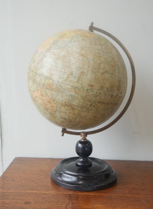
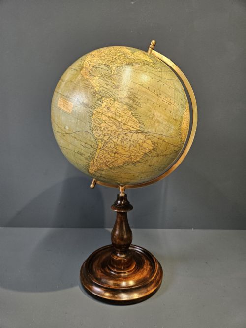
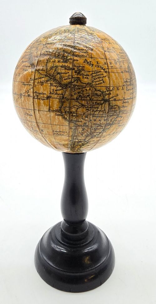
An antique desk globe represents the earth or the heavens scaled down for desktop use, appearing in forms ranging from small four-inch examples to twelve-inch library globes. When you search for an antique desk globe, you encounter terrestrial spheres mounted on stands made of wood, ebonised wood, or metal feet.
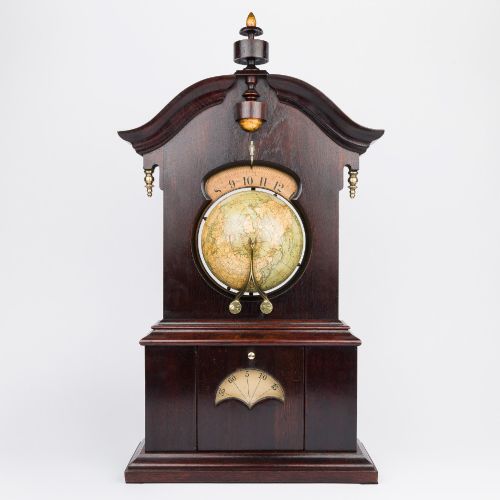
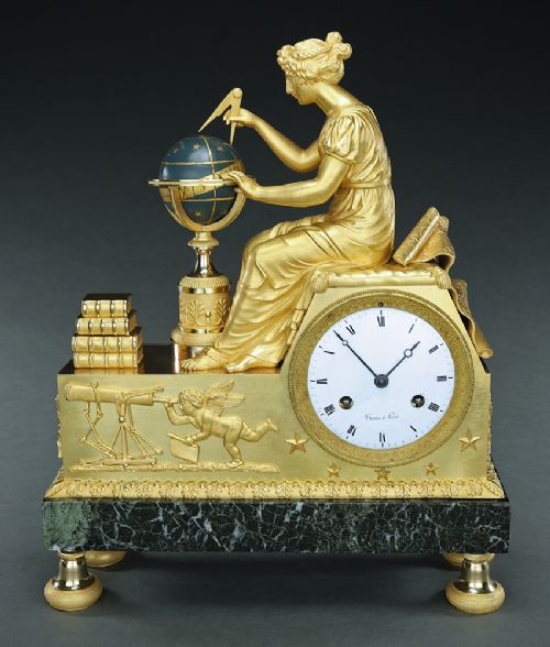
The objects span multiple periods from the nineteenth century through the interwar years and the Art Deco era. Makers such as Phillips, Bacon, Geographia, Lebegue and Cie, and J. Forest produced these globes, sometimes incorporating them into complex desk accessories or timepieces.
Smaller tabletop formats sit alongside larger twelve-inch terrestrial globes supported by walnut or ebony stands. The selection includes French, British, and German productions that reflect the geographical boundaries and cartographic knowledge of their respective periods.
How they were made
Makers constructed the spherical bodies using plaster or papier-mâché, applying printed paper gores directly to the curved surface by hand. These printed paper maps were hand-coloured or lithographed before application, detailing countries, oceans, and shipping routes of the era.
Supports and mountings utilised brass, bronze, marble, and turned woods such as walnut or ebony. Metal meridians held the spheres at the correct axial tilt, while weighted bases of marble or cast metal provided stability for desktop placement.
Makers represented include British, French, and German cartographic firms producing models from compact four-inch formats to large twelve-inch spheres.
What varies in quality
The precision of the cartographic engraving and the clarity of the printed gores distinguish finer examples from standard commercial output. Crisp typography, detailed geopolitical boundaries, and well-preserved hand-colouring elevate the visual standard of a piece.
The integrity of the physical materials dictates durability and finish, from solid brass meridians and heavy marble bases to well-turned wooden feet. Smooth rotation within the horizon ring and minimal paper shrinkage across the plaster sphere indicate superior original construction.
Lebegue and Cie·Geographia·George Philips and Son Ltd·J. Forest·Malby's·Chandy Charan and Co·Carl Adami·Raths
The Antique Desk Globe Glossary
- Gores
- The lunate printed paper segments that are pasted onto a spherical globe. They are tapered at the poles to ensure the flat map lies smoothly over the round surface.
- Terrestrial globe
- A scale model of the earth showing landmasses, oceans, and political boundaries. These pieces reflect the geographical knowledge of the specific decade in which they were printed.
- Horizon ring
- The circular wooden or metal band that surrounds the globe representing the horizon. It frequently displays zodiac signs or calendar months along its top surface.
Antique Desk Globe: Frequently Asked Questions
How do I read dates on a globe?
Cartographers often printed publication dates directly onto the map near the cartouche or title panel. Examining the depicted national boundaries and capital cities also provides a reliable guide to the era of production.
Changes in colonial territories and European borders help narrow down the decade when the gores were printed. Comparing the listed place names to historical maps confirms the active period of the globe.
Where should I place a desk globe?
Position your globe away from direct sunlight to prevent the printed paper gores and delicate colours from fading over time. A stable desk or library table with moderate ambient humidity ensures the plaster core and paper remain undamaged.
Keep the piece clear of direct heat sources such as radiators or fireplaces, which can dry out the wood stands and cause paper shrinkage. Adequate clearance allows you to rotate the sphere freely without bumping surrounding objects.
What is the difference between a terrestrial and celestial globe?
A terrestrial globe maps the earth, displaying continents, oceans, shipping routes, and political borders as understood during its manufacturing period. These pieces served as practical tools for navigation, education, and commerce.
A celestial globe maps the night sky, depicting constellations, stars, and astronomical coordinates projected onto a sphere. These were used to track stellar movements and understand astronomical science.