






Paper Cartographic Map
A paper cartographic map records centuries of geography on fragile sheets, offering a direct window into how earlier generations charted their world.
Paper Cartographic Map
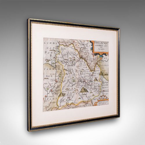
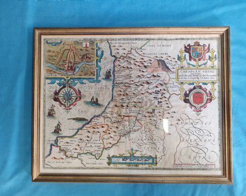
When you search for a paper cartographic map, you enter a field of antique charts, town plans, and regional surveys spanning multiple centuries. The selection ranges from early seventeenth-century county maps by notable Dutch and English cartographers to Victorian wall maps and detailed town plans.
You are most likely to encounter framed county maps, road itineraries, and regional surveys rendered in ink on paper, often preserved behind glass in wood frames. These items capture landscapes from Britain, Europe, the Caribbean, and North America across Georgian, Victorian, and earlier periods.
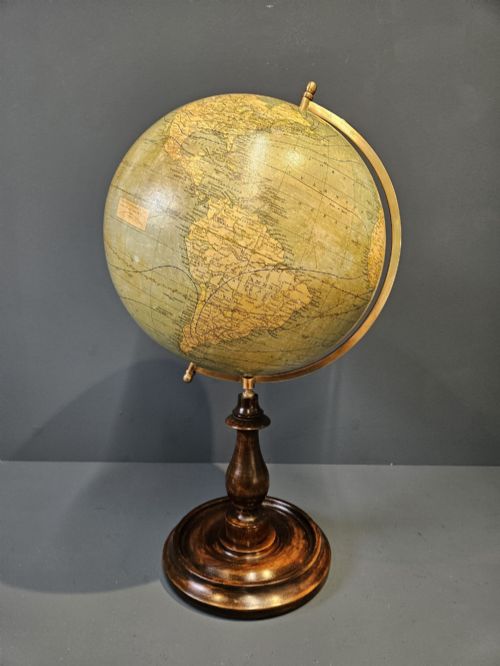
The forms extend from wall art and framed maps to desk globes and miniature globes mounted on wood or brass stands. Each piece reflects the specific cartographic conventions and geographical knowledge of its era.
How they were made
The production of these maps relies primarily on paper sheets marked with ink through early printing techniques, occasionally enhanced with hand-colouring. Engraved copper plates or woodblocks transferred intricate geographical details onto the paper.
Many examples are framed in wood, such as oak or walnut, sometimes incorporating glass, plaster, brass, and metal components for structural support or mounting. Globes utilise plaster cores covered with gores of printed paper, mounted on turned wooden feet or metal stands.
Miniature globes offer a pocket-sized view of the world, proving that cartographers packed entire empires into spheres smaller than an apple.
What varies in quality
Quality rests upon the clarity of the printed impression, the precision of the engraving, and the preservation of the paper sheet. Finer examples retain strong contrasts in the ink and accurate hand-colouring without excessive fading or staining.
The sophistication of the cartographic detail, the prominence of the maker, and the structural integrity of contemporary or later framing significantly elevate the standing of a piece.
C. Ogilby·Thomas Jefferys·Joan Blaeu·Robert Morden·Carl Adami·Colton·Christopher Saxton·R. Creighton·Jas Wyld·Emanuel Bowen·J. Duncan
The Paper Cartographic Map Glossary
- Cartography
- The science or practice of drawing maps. It encompasses the detailed rendering of geographical, topographical, and political boundaries.
- Gores
- Tapered strips of printed paper applied to a sphere to form the surface of a globe. They require precise alignment to ensure accurate geographical representation.
- Town plan
- A detailed map of an urban area showing streets, docks, and significant buildings. These plans provide a close-up view of historical city layouts.
- Atlas
- A bound collection of maps. Individual sheets are frequently extracted from these volumes to be framed as wall art.
- Terrestrial globe
- A spherical model of the Earth mounted on a stand. It displays continents, oceans, and geopolitical regions of a specific period.
Paper Cartographic Map: Frequently Asked Questions
How should I hang a paper map?
Keep framed paper maps away from direct sunlight to prevent the ink and paper from fading over time. Use stable wall fixings suited to the weight of the wood frame and glass.
Maintain a consistent room temperature to protect the paper from humidity fluctuations that cause warping or foxing.
Were these maps originally bound in books?
Many cartographic sheets originated as plates within published atlases or descriptive manuals. They were subsequently removed for individual display and framing.
Plates often retain central fold lines or binding margins that indicate their source within a historical publication.
How do I care for a desk globe?
Dust the surface gently with a soft, dry cloth to prevent accumulation on the paper gores. Avoid using liquid cleaners or chemical sprays on the fragile printed sphere.
Position the stand away from heat sources and direct sunlight to protect both the wooden base and the plaster core.