




Framed Cartographic Print
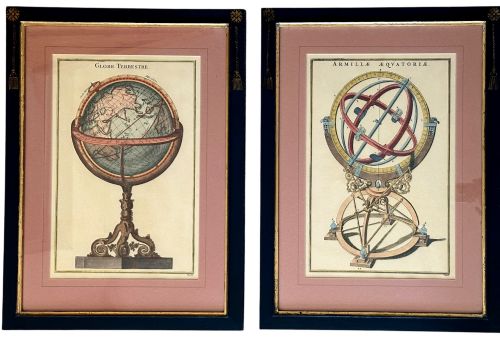
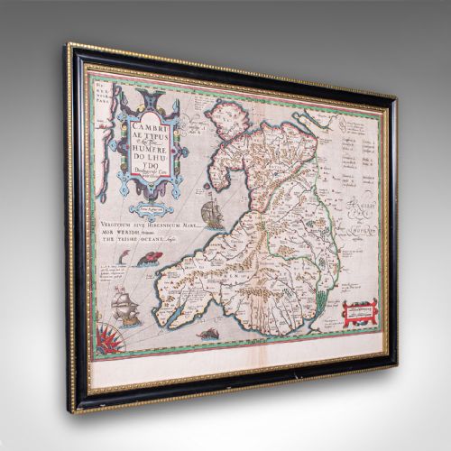
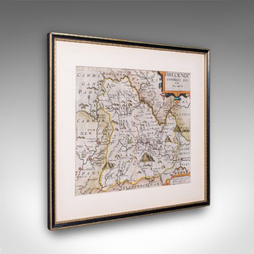
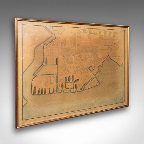
These framed cartographic print examples bring centuries of geography to the wall, combining historical cartography with period frames.
Framed Cartographic Print
When you search for framed cartographic print pieces, you encounter antique maps, town plans, and road itineraries spanning from the seventeenth century through the nineteenth century. The selection ranges from English county maps and regional views of Italy, Ireland, and Jamaica to broader surveys of North America and Russian dominions.
Makers and cartographers represented in the inventory include John Ogilby, Joan Blaeu, Robert Morden, Thomas Kitchin, Thomas Jefferys, Christopher Saxton, Emanuel Bowen, J. Duncan, and Jas Wyld. These works appear under various regional designations, often mounted in period timber frames.
Quality factors in cartography and framing
Quality rests upon the cartographic significance of the mapmaker, the clarity of the original impression, and the preservation of the paper sheet. Premier examples feature renowned cartographers like Joan Blaeu or Christopher Saxton, where crisp engraving lines and original hand-colouring remain intact.
The integrity of the framing also dictates the overall standard, with period wooden mouldings, burr wood veneers, and gold leaf finishes enhancing the historical context. Well-preserved glass and stable paper mounts ensure the longevity of these wall maps.
Framed Cartographic Print Retail Price Guide 2026
Typical asking prices for framed cartographic print among the pieces listed under this phrase on Sellingantiques today, from the lower quarter to the upper quarter. They describe what is for sale here now, not the wider market.
Early road maps mapped out every hill and coaching inn so travellers could avoid highwaymen.
Thomas Jefferys·Joan Blaeu·Robert Morden·Thomas Kitchin·Christopher Saxton·Emanuel Bowen·J. Duncan·Jas Wyld
The Framed Cartographic Print Glossary
- Cartography
- The science or practice of drawing maps. In this context, it encompasses engraved plans of roads, towns, counties, and continents.
- Cartouche
- A decorative frame or tablet on a map, often containing the title, scale, or dedication. These are frequently embellished with heraldry or regional motifs.
- Gilt wood
- Wood that has been treated with gold leaf or gold paint. This finish appears frequently on the decorative frames enclosing these historical prints.
- Burr wood
- Wood featuring distorted grain growth resulting in intricate patterns. It is utilised for decorative veneer on period frames.
Framed Cartographic Print: Frequently Asked Questions
What is a framed cartographic print?
A framed cartographic print is an antique map, town plan, or road guide presented behind glass within a period wooden frame. These pieces combine historical geography with decorative framing suitable for wall display.
The selection includes works by notable cartographers spanning the seventeenth, eighteenth, and nineteenth centuries, capturing regions from English counties to North America.
How were these maps originally used?
Many of these maps served practical purposes for navigation, land management, and understanding regional geography during their respective periods. Road maps guided travellers along specific coaching routes.
Other maps appeared in published atlases, such as Joan Blaeu's Atlas Novus, or served administrative functions like town plans for dockyards.
How do I date a cartographic print?
Dating relies on the cartographer named on the sheet, the style of the engraving, and any publication dates inscribed within the margins or cartouches. Reference works and historical records help connect the maker to a specific operational window.
The framing style and materials, such as oak or burr wood, also offer clues regarding the period of assembly.
How should I care for a framed map?
Protect the paper print by hanging it away from direct sunlight and excessive moisture, which can fade ink and discolour paper. Maintain stable indoor humidity levels to preserve both the paper and the wooden frame.
Clean the glass gently with a soft cloth, avoiding any liquid sprays that might seep beneath the frame edge and damage the antique paper.