








Antique Wall Map Print
An antique wall map print brings historical cartography into a room, offering detailed engraved depictions of counties, countries and towns framed for display.
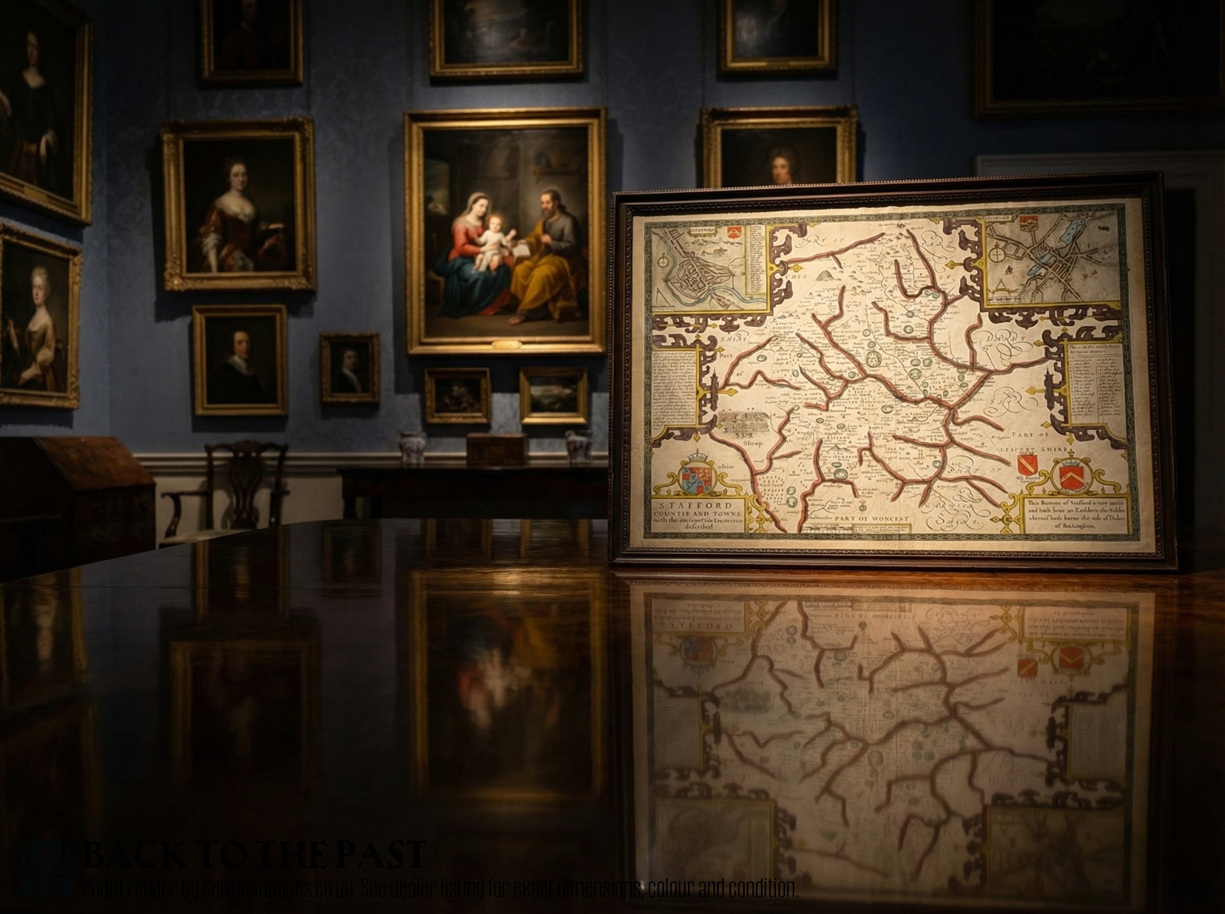
Antique Wall Map Print
When searching for an antique wall map print, buyers encounter framed cartographic works spanning from the seventeenth century through to the Victorian era. These pieces include county maps, town plans and regional charts originating from English, Dutch and French presses.
The selection ranges from early copperplate engravings by notable cartographers to nineteenth-century lithographs and atlas plates. Most examples arrive ready to hang, set behind glass within wooden frames that protect the paper.
Domestic county maps sit alongside continental representations of empires, colonies and home territories. Buyers frequently choose works depicting familiar local areas or distant historical territories to furnish studies and libraries.
Materials and Production Techniques
Framing typically involves period woods such as oak, often complemented by gilt wood accents. Glazing protects the delicate paper and ink from environmental damage while maintaining visibility.
The inventory spans the seventeenth century to the Victorian era, utilising materials such as laid paper, oak frames, gilt wood and hand-applied watercolour.
Factors Defining Quality
Quality rests upon the clarity of the impression and the precision of the original plate engraving. Sharp lines and legible place names distinguish superior print runs from worn plates.
The application of original hand colouring enhances the desirability of a piece. Subtle, contemporary pigment application preserves the legibility of the underlying cartography better than heavy modern additions.
John Speed·Joan Blaeu·Robert Morden·Johannes Janssonius·Thomas Jefferys·Eman Bowen
The Antique Wall Map Print Glossary
- Cartography
- The science and art of making maps. This discipline encompasses the projection, design and production of geographical documents.
- Cartouche
- A decorative frame enclosing the map's title, scale or dedication. These artistic elements often feature heraldry, figures or botanical motifs.
- Atlas
- A bound collection of maps, individual sheets of which are frequently removed for framing. These plates provide detailed regional views from specific centuries.
- Lithography
- A printing method based on the repulsion of oil and water on a stone or metal plate. This technique gained widespread use during the nineteenth century for producing detailed town plans.
Antique Wall Map Print: Frequently Asked Questions
How do I hang a framed map safely?
Use sturdy picture wire and wall fixings suited to the weight of the wood frame and glass. Hang the piece away from direct sunlight to prevent the paper and watercolour pigments from fading over time.
Ensure the wall is structurally sound and supports the balanced weight of the framed cartography properly.
Were these maps originally made for walls?
Many seventeenth and eighteenth-century maps originated as unbound atlas plates or folding pocket maps rather than wall decorations. Later owners subsequently framed these sheets to display them as domestic art.
Town plans and large county maps occasionally saw use as wall charts, though most surviving examples spent centuries protected inside bound volumes.
How can I tell the age of a map?
Examine the paper characteristics, typography and cartographic style visible within the print. Seventeenth-century examples often feature Latin text on the reverse and distinct plate marks around the printed border.
Reference dates provided in the cartouche or publishing details help confirm the era, supported by the specific spelling of regional placenames.
Are these maps originals from the stated period?
The listings comprise genuine period engravings and prints pulled from the dates indicated, rather than modern photographic reproductions. Each piece reflects the printing technology and geographical knowledge of its specific century.
Examining the paper texture and ink deposition under magnification reveals the characteristic impression of copperplate or steel engraving.