






Gilt Frame Map
These gilt frame map examples combine historical cartography with gilded woodwork, offering a wall piece that anchors a room with age and detail.
Gilt Frame Map
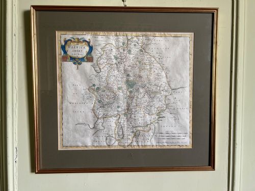
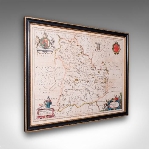
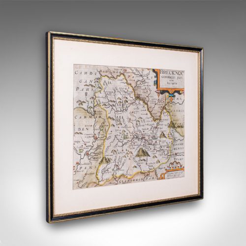
A gilt frame map brings together antique cartography and period framing, presenting county maps, town plans, and world charts beneath glass. Buyers searching this phrase encounter engraved paper plates and textile needlework samplers charting England, Wales, and wider regions.
The material record spans from the seventeenth century through the Georgian and Victorian eras. Pieces often originate from Dutch and English atlases, featuring cartographers such as Robert Morden, Joan Blaeu, and Emanuel Bowen.
Framed maps and needlework samplers form the core of what appears on this page, preserving geographical detail and schoolgirl embroidery within period timber surrounds.
How they were made
Makers produced these works using paper engravings, ink, and hand-applied colour, set alongside linen and wool threads in needlework samplers. Cartographers engraved copper printing plates by hand to capture detailed county boundaries and town plans.
Workshops housed these paper and textile works inside wood frames finished with gold leaf or gilt wood. Glazing protected the delicate paper and fabric surfaces from environmental moisture and handling over the centuries.
Gilt Frame Map Retail Price Guide 2026
Typical asking prices for gilt frame map among the pieces listed under this phrase on Sellingantiques today, from the lower quarter to the upper quarter. They describe what is for sale here now, not the wider market.
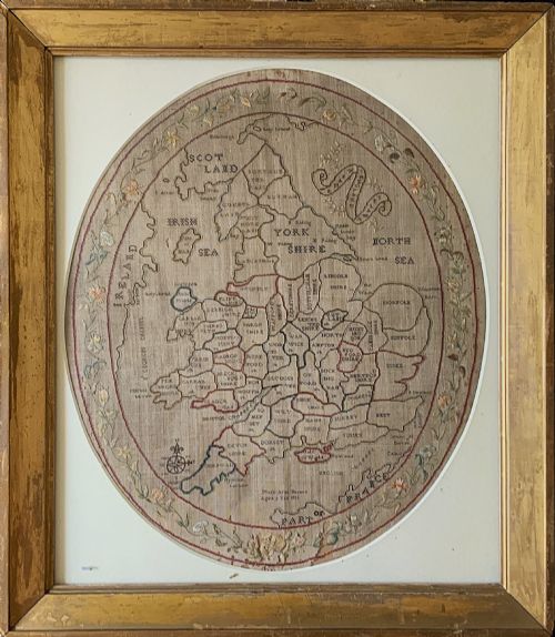
Several schoolgirl samplers proudly chart the geography of England and Wales while immortalising the maker's exact age in stitches.
What varies in quality
Quality rests in the crispness of the original copperplate engraving and the preservation of the paper or linen ground. Finer examples retain clear cartouches, sharp typography, and original hand-colouring applied by the publisher or contemporary hands.
The construction and finish of the surrounding woodwork also define the piece, where depth of gilding and timber moulding match the period of the map within. Samplers show variation in the density of the needlework and the complexity of the stitched cartographic layout.
Robert Morden·Joan Blaeu·John Speed·Thomas Kitchin·Emanuel Bowen
The Gilt Frame Map Glossary
- Cartography
- The science or practice of drawing maps. Antique examples often feature decorative cartouches and Latin or English text.
- Giltwood
- Wood carved and covered with a thin layer of gold leaf. This finish frames many of the maps and samplers found in this category.
- Needlework sampler
- A piece of embroidery produced as a demonstration or test of skill. Several items in this group depict geographical maps stitched in thread upon linen.
- Copperplate engraving
- A printmaking technique where an image is incised into a copper sheet. This method produced the fine lines seen on seventeenth and eighteenth century county maps.
- Atlas
- A bound collection of maps. Many single sheet maps originate from dismantled seventeenth and eighteenth century atlas volumes.
Gilt Frame Map: Frequently Asked Questions
How do I hang a framed map?
Support the weight of the timber frame securely using appropriate wall fixings matched to the size of the piece.
Position the map away from direct sunlight to protect the paper, ink, and gold leaf from fading over time.
Are these maps original period prints?
The listings comprise original engravings and needlework samplers created across the seventeenth, eighteenth, and nineteenth centuries.
Each piece reflects the cartographic methods and geographical knowledge of its specific publication date.
What is a map sampler?
A map sampler is a textile artwork where makers embroidered geographical maps onto linen using coloured threads.
These pieces were frequently stitched by young scholars during the Georgian and Regency periods to demonstrate needlework and geography skills.
How do I identify the date?
Dates often appear within the engraved cartouche, margins, or through accompanying historical documentation tied to the cartographer.
Stylistic indicators in the frame construction, typography, and paper type also help determine the period of origin.