

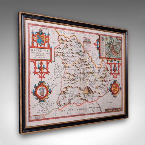
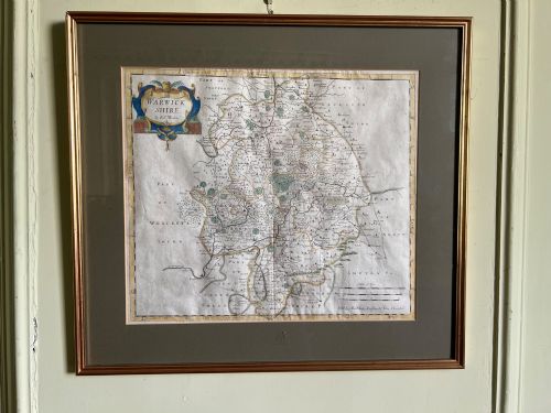
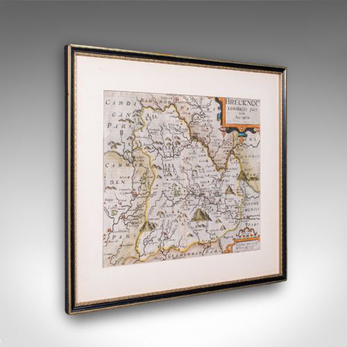

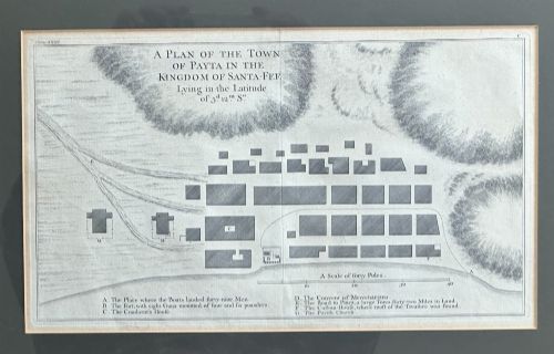


Antique Engraved Map
An antique engraved map brings centuries of geographical observation into a room, offering historical detail through fine lines printed on paper.
Antique Engraved Map
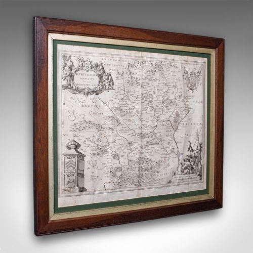
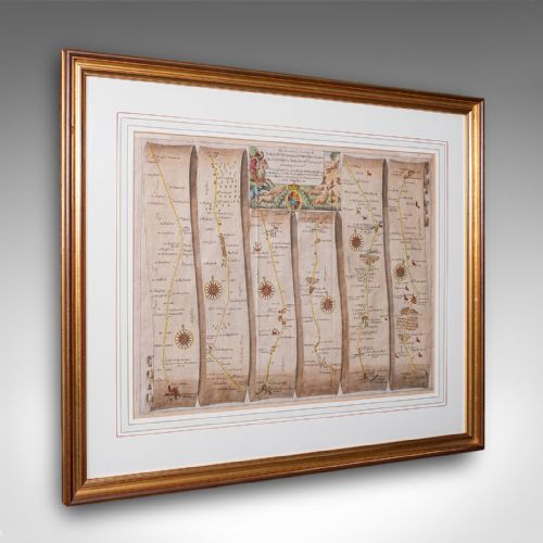
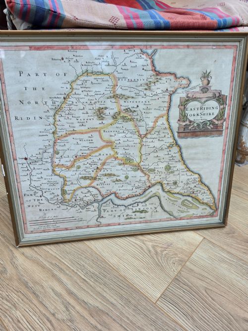
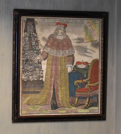
When searching for an antique engraved map, buyers encounter various forms including county maps, regional surveys, and global charts. These pieces emerge from periods spanning the seventeenth century through the Victorian era, often preserved within wooden frames behind glass.
Subjects range from local English shires to the Caribbean, North America, and broader world representations. Many of these works originally served as pages in bound atlases before being separated, framed, and displayed as wall art.
Materials and production methods
Makers produced these works by carving lines in reverse onto copper plates using sharp tools. Printers then applied ink to the metal plate, pressing it firmly onto dampened paper under high pressure to transfer the detailed linework.
Antique Engraved Map Retail Price Guide 2026
Typical asking prices for engraved map among the pieces listed under this phrase on Sellingantiques today, from the lower quarter to the upper quarter. They describe what is for sale here now, not the wider market.
Listings span from the seventeenth century through the Victorian era, utilising paper, ink, watercolour, and oak.
Distinctions in craftsmanship and survival
Quality rests upon the crispness of the original plate impression and the precision of the cartographer's initial survey. Finer examples retain deep, dark ink lines without blurring, showing clear text and distinct geographical boundaries.
The condition of the paper significantly influences the piece, as age-related toning, damp stains, or fading can diminish the visual impact. Additionally, the skill applied in historical hand-colouring alters the aesthetic value, with subtle washes preferred over heavy, crude pigments.
John Speed·Joan Blaeu·Robert Morden·Johannes Janssonius·Thomas Jefferys
The Antique Engraved Map Glossary
- Cartouche
- A decorative frame or panel on a map enclosing the title, scale bar, or dedication. These often feature elaborate artistic flourishes specific to the period.
- Plate mark
- The indentation left on the paper by the edges of the metal printing plate under pressure. Its presence confirms the traditional intaglio printing process.
- Verso
- The reverse side of a map sheet. Many seventeenth and eighteenth-century atlas maps feature descriptive text printed on this side.
- Intaglio
- A printing technique where ink sits below the surface of the plate within carved grooves. This method creates the raised lines characteristic of early maps.
Antique Engraved Map: Frequently Asked Questions
How should I frame an antique map?
Conservation framing uses acid-free mounts and backing materials to prevent the fragile paper from degrading over time. Keeping the piece away from direct sunlight protects both the paper substrate and any applied hand-colouring from fading.
Glazing protects the surface from atmospheric pollutants and physical damage. Ensure a small gap remains between the glass and the map surface to prevent moisture trapping.
Why do some maps have text on the back?
Many early maps were produced as pages for bound volumes and atlases rather than single sheet publications. Publishers often printed historical descriptions or geographical commentaries on the reverse side of the sheet.
This text provides useful clues for dating and identifying the specific edition of an atlas. Collectors often view text on the verso as a sign of authenticity for seventeenth-century works.
How can I tell a reproduction from an original?
Original pieces display a distinct plate mark where the metal edge pressed into the damp paper. Examining the lines under magnification reveals the slight ink spread characteristic of copperplate printing rather than modern dot matrix patterns.
Paper characteristics also offer reliable evidence of age. Older rag paper feels different and shows natural ageing traits absent in modern wood-pulp reproductions.
What is the difference between a county map and an atlas map?
County maps focus specifically on local regions, detailing parishes, roads, and landmarks within a single shire. They were often issued for domestic reference or local histories.
Atlas maps generally cover larger territories, including countries, continents, or the entire world. These derived from comprehensive geographical compilations intended for broader study.