








Antique English Map
When you search for an antique english map, you discover centuries of cartography, from hand-coloured county engravings to detailed town plans.
Antique English Map
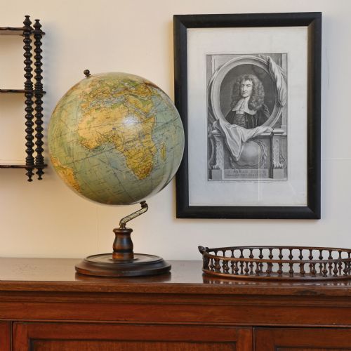
An antique english map captures the geography of counties, towns, and regions through the hands of historical cartographers. These pieces trace the development of cartography from early copperplate engravings to Victorian lithographs. The selection includes framed wall art, atlas pages, and globes showing domestic and global territories.
County maps by prominent makers form a significant portion of what meets the eye on this page. Pieces range from seventeenth-century town plans and road strips to nineteenth-century grand tour scales. Buyers encounter both single sheets pulled from atlases and double-sided folio leaves.
Materials and Methods
Paper forms the primary medium, bearing impressions from inked copper plates or lithographic stones. Surviving examples frequently utilise heavy rag paper designed to hold fine lines and wash colours. Watercolours and inks were applied by hand on early issues, lending distinct tones to individual sheets.
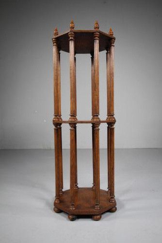
Frames incorporate timber such as oak and mahogany, often paired with glass to protect fragile paper surfaces. Supporting items like library scroll stands and folio cabinets utilise hardwoods, brass fittings, and gold leaf tooling.
Listings feature paper, ink, and wood across periods from the seventeenth century through the Victorian era.
Assessing the Standard
Quality rests upon the clarity of the impression and the precision of the engraving. Early printings from worn plates show blurred lines, whereas crisp strikes reveal sharp text and fine border work. Original hand-colouring holds greater regard than later additions applied by amateur hands.
Condition dictates value across paper artefacts. Strong margins, unblemished surfaces, and legible Latin or English text separate the finest cartography from heavily trimmed or foxed sheets.
John Speed·Robert Morden·Joan Blaeu·Thomas Jefferys·Thomas Kitchin·Christopher Saxton
The Antique English Map Glossary
- Cartography
- The science and art of drawing maps. This practice combines surveying data with decorative borders and cartouches.
- Atlas
- A bound collection of maps. These volumes were broken apart over the centuries, leaving individual leaves for framing.
- Cartouche
- A decorative frame enclosing the map title, scale, or maker details. Artisans embellished these ornamental panels with heraldry and figures.
- Foxing
- Brown age spots caused by chemical reactions in the paper. This oxidation occurs naturally over long periods in storage.
- Lithography
- A printing method using a flat stone or metal plate. Artists drew images with greasy mediums to repel water and accept ink.
Antique English Map: Frequently Asked Questions
How do I date an antique map?
Dating relies on internal evidence such as place names, royal cyphers, and cartographer credits within the cartouche. Styles of engraving and paper characteristics also provide reliable chronological markers.
Reference books and historical atlases help cross-reference publishing dates with known editions from mapmakers.
Are these maps original or reproductions?
The listings consist of period items produced in the centuries stated, utilising contemporary paper stock and printing techniques. Examining plate marks and paper textures confirms authenticity.
Modern reproductions lack the crisp ink penetration and age-related oxidation found in genuine historical examples.
How should I frame and display paper maps?
Conservation framing using acid-free mount board prevents chemical damage to fragile rag paper over time. Keeping maps away from direct sunlight protects hand-applied watercolours from fading.
Displaying pieces in stable indoor environments avoids humidity fluctuations that warp paper and wood frames.
What is a road strip map?
Road strips display linear journeys across consecutive panels, detailing coaching routes and local landmarks. Cartographers designed these narrow formats to guide travellers along specific English pathways.
Originating in the seventeenth century, these diagrams present early travel routes in a readable sequence.