










Antique Cartography Print
An antique cartography print brings historical geography directly to your walls, offering authentic printed views of counties, countries and global voyages from past centuries.
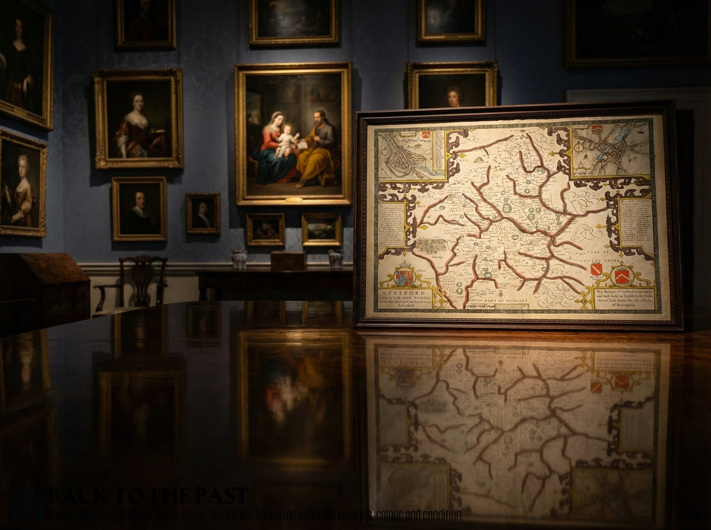
Antique Cartography Print
An antique cartography print captures past geographies through engraved and published maps from the seventeenth, eighteenth and Georgian periods. These pieces serve as historical reference documents and decorative wall art for interiors.
Buyers encounter works by notable cartographers and mapmakers showing counties like Rutland, Somerset and Stafford, alongside global voyage maps from the mid eighteenth century. Many arrive framed behind glass in wood mouldings, ready to hang.
The selection ranges from single sheet county maps published in atlases to sets of interconnected voyage charts. Each item documents the borders, place names and topographical understanding of its specific era.
How They Were Made
These works rely on traditional paper sheets inscribed using copperplate engraving techniques. Artisans carved lines, text and cartouches directly into copper plates before applying dark ink to press the image onto the paper.
Early cartographers filled empty ocean spaces with elaborate sea monsters and sailing ships to entertain prospective buyers.
What Varies in Quality
Quality rests upon the clarity of the copperplate impression and the precision of the cartographer's original survey work. Crisp lines and legible place names distinguish superior prints from worn or heavily re-struck impressions.
The presence of early hand colouring enhances desirability, particularly when applied with care to match the period of publication. Original margins and the overall preservation of the paper stock further separate standard reference sheets from exceptional collector pieces.
John Rocque·Thomas Kitchin·John Speed·Cary Stockdale
The Antique Cartography Print Glossary
- Copperplate engraving
- A printmaking technique where lines are incised into a copper sheet, holding ink to transfer fine detail onto paper.
- Cartouche
- An ornamental frame or tablet on a map enclosing the title, scale or dedication, often decorated with heraldry or allegorical figures.
- Atlas
- A bound collection of maps published together, from which many individual sheet maps were later separated.
- Hundred
- A historical administrative division of a county used in English local government and land mapping.
Antique Cartography Print: Frequently Asked Questions
How old are these maps?
The available pieces date from the seventeenth and eighteenth centuries, specifically spanning the Georgian era and earlier periods.
Publishing dates often appear within the cartouche or can be determined by the cartographer and the geographical boundaries shown.
Are these original prints?
Each listed piece is an original copperplate engraving produced during the period stated rather than a modern photographic reproduction.
Visible plate marks and paper characteristics confirm their historic production methods.
How should I frame them?
Historic paper works require conservation framing with UV filtering glass and acid-free backing materials to prevent fading and degradation.
Keep framed maps away from direct sunlight and damp environments to protect the ink and paper.
Can I find specific counties?
Inventory includes regional English county maps such as Rutland, Somerset and Stafford, alongside broader global voyage charts.
Availability shifts as individual sheets and sets find new homes.