








Vintage Map Wall Print
A vintage map wall print brings centuries of cartography into a room, offering framed county plans, town views and global atlases from earlier eras.
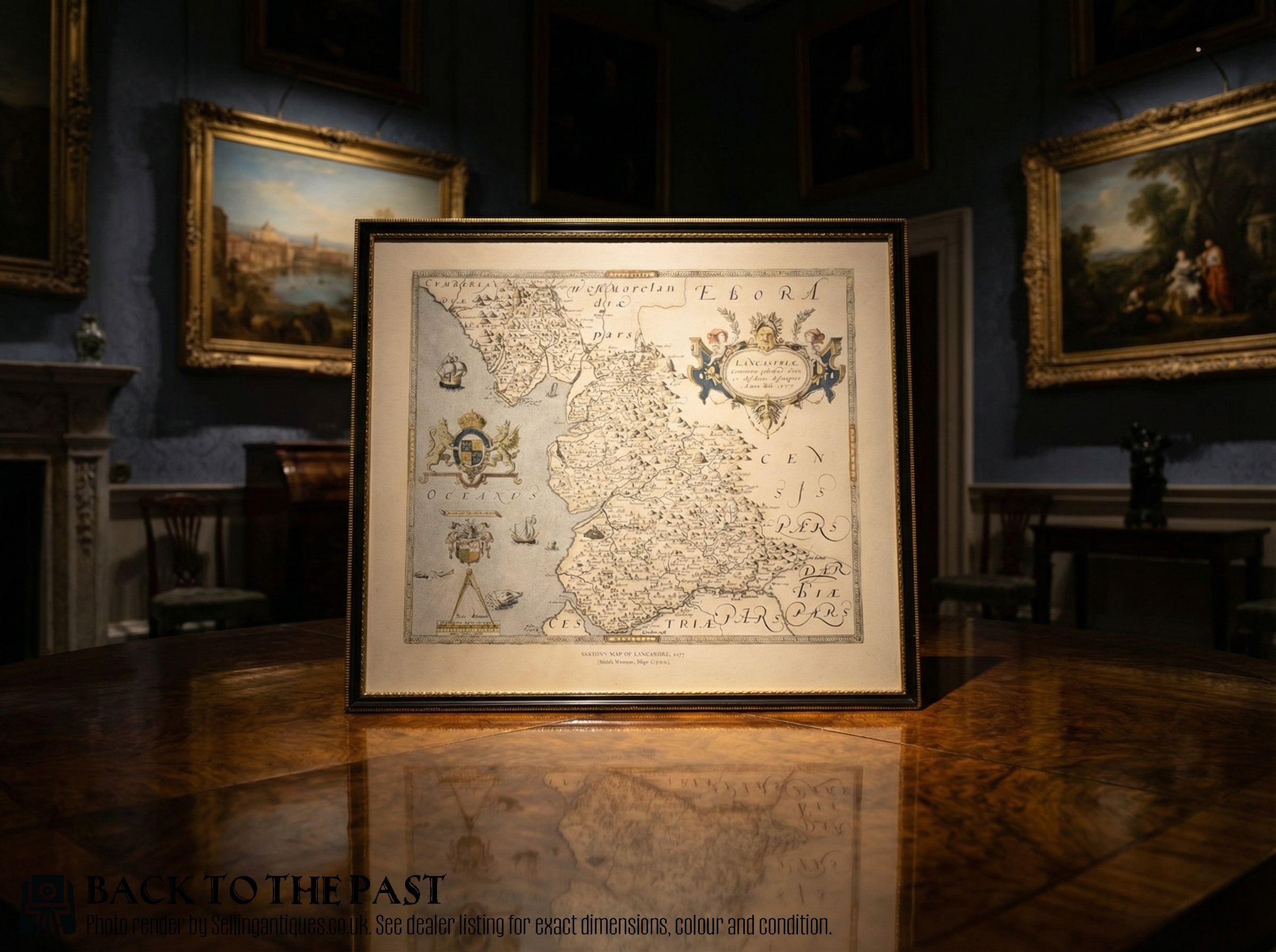
Vintage Map Wall Print
A vintage map wall print encompasses framed antique cartography ranging from seventeenth-century county surveys to nineteenth-century town plans. Collectors encounter English, Dutch and French map production spanning the Georgian, Victorian and seventeenth-century periods.
The most common formats on this page are framed county maps, atlas engravings and town plans. Pieces frequently feature regional cartography by notable surveyors such as John Speed, Robert Morden and Joan Blaeu.
Subjects stretch from local British counties like Cheshire and Gloucestershire to broader continental regions, colonies and world charts. Each framed piece preserves historical geography behind glass, mounted for interior display.
Materials and construction methods
Plates were printed using ink on paper surfaces, often with subsequent hand colouring applied using watercolour pigments. Selected examples incorporate supplementary detailing such as gold leaf highlights.
Framed presentation utilises wood surrounds, frequently including oak or gilt wood mouldings, paired with protective glass. Historic bindings and atlas pages were routinely disassembled for individual wall framing.
Listings feature seventeenth-century Dutch cartography alongside eighteenth-century English county engravings and Victorian town plans.
Assessing quality in historical cartography
Quality rests upon the cartographic importance of the maker, the clarity of the plate impression and the preservation of the paper sheet. Early impressions pulled directly from freshly engraved copper plates exhibit sharper line work than later strikes.
The precision and subtlety of contemporary hand colouring distinguish finer examples from standard decorative prints. Original margins, complete plate marks and the stability of the timber frame further influence the standing of an individual piece.
John Speed·Robert Morden·Joan Blaeu·Emanuel Bowen·Thomas Jefferys
The Vintage Map Wall Print Glossary
- Cartography
- The science or practice of drawing maps. This discipline forms the core subject of the framed works presented here.
- Plate mark
- The indentation left on paper by the edge of a copper printing plate under pressure. Its presence confirms an authentic intaglio printing process.
- Atlas
- A bound collection of maps, frequently disassembled in later centuries to provide individual decorative sheets for framing. These volumes represent major publishing output from European centres.
- Town plan
- A detailed map illustrating urban streets, fortifications and notable buildings rather than counties or countries. These documents record the historical expansion of cities like London and Portsmouth.
Vintage Map Wall Print: Frequently Asked Questions
How do I date an old map?
Dating relies on internal cartographic evidence, including historical place names, border styles, dedication cartouches and printed publication dates within the margin or plate.
Publishers often updated plates over decades, meaning comparison with known reference editions helps narrow the production window.
Are these maps original or reproductions?
The pieces listed are period items originating from the seventeenth, eighteenth and nineteenth centuries, printed from original copperplates or woodcuts.
They are genuine historical artefacts rather than modern photographic facsimiles.
How should I hang and light them?
Historic paper prints require protection from direct sunlight to prevent fading of the ink and watercolour pigments over time.
Displaying them in rooms with stable humidity levels helps preserve both the paper support and the timber frame.
Why do some maps have fold lines?
Many early maps were originally issued to fold flat inside bound books or pocket atlases rather than hanging loose.
These central creases are standard characteristics of authentic atlas leaves and do not detract from their historical integrity.