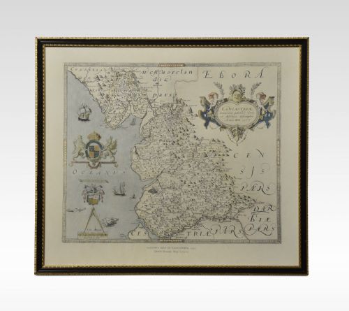
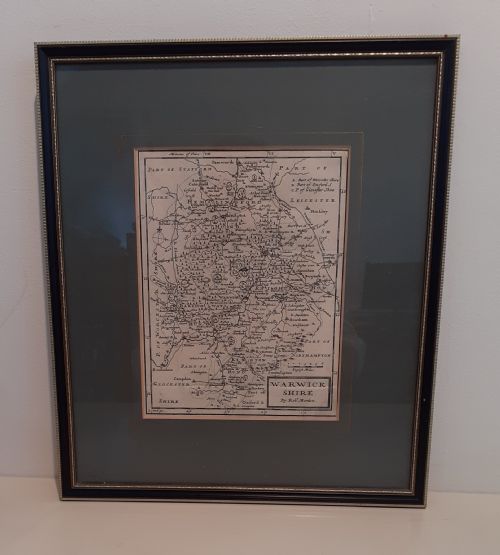
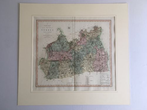
A vintage map wall print brings centuries of cartography into a room, offering framed county plans, town views and global atlases from earlier eras.
Listings feature seventeenth-century Dutch cartography alongside eighteenth-century English county engravings and Victorian town plans.