





Vintage Cartography Art
Vintage cartography art brings centuries of engraved geography into domestic rooms through framed county sheets and continental atlases.
Vintage Cartography Art
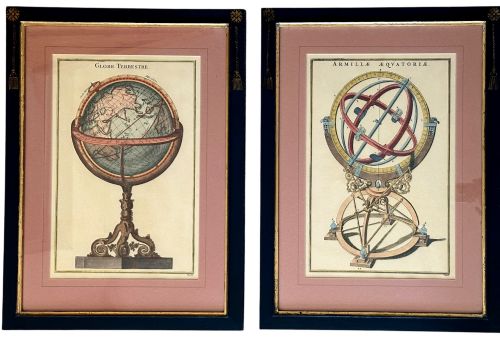
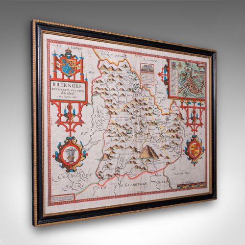
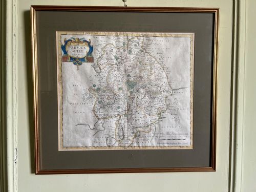
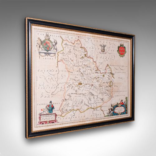
When buyers search for vintage cartography art, they encounter engraved and printed maps framed as wall art. The selections span county maps of Britain, regional charts of Europe, and wider world atlases.
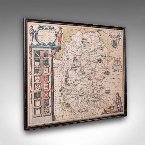
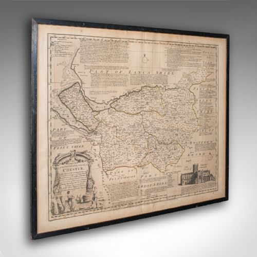
The most common survivals on this page are seventeenth-century Dutch and English county sheets alongside eighteenth-century works. These pieces typically present historical boundaries, cartouches, and regional topography.
Makers such as John Speed, Robert Morden, and Emanuel Bowen dominate the British material. Alongside them, Dutch masters like Joan Blaeu and Johannes Janssonius represent the continental output.
How they were made
These works rely on copperplate engraving on laid or woven paper, using dark ink lines to capture detailed topography, place names, and decorative cartouches. Many examples received hand watercolour washes applied after printing to highlight regional borders and title panels.
Framing utilised traditional materials including wood mouldings, gilt finishes, and protective glass. Early sheets often originated as folded leaves inside bound atlases before later mounting and framing for display.
Vintage Cartography Art Retail Price Guide 2026
Typical asking prices for vintage cartography art among the pieces listed under this phrase on Sellingantiques today, from the lower quarter to the upper quarter. They describe what is for sale here now, not the wider market.
Early mapmakers filled blank ocean spaces with mythical sea monsters and majestic sailing ships to distract from uncharted waters.
What varies in quality
Quality rests upon the crispness of the copperplate impression and the survival of the original margins around the printed plate mark. Strong, deep impressions reveal fine lettering and intricate cartouche details without blurring.
The skill and precision of contemporary hand colouring distinguish finer examples, where washes remain vibrant and contained within boundary lines. Additionally, the clarity of the paper and the integrity of early framing materials influence the overall character of the piece.
Joan Blaeu·John Speed·Braun and Hogenberg·Johannes Janssonius·Robert Morden·Thomas Kitchin·Emanuel Bowen·John Cary
The Vintage Cartography Art Glossary
- Cartouche
- An ornamental framed panel on a map containing the title, scale, or dedication. These decorative enclosures often feature heraldry, figures, or allegorical scenes.
- Plate mark
- The indentation left on the paper by the edge of the copper plate during the printing press operation. A clear plate mark confirms an authentic engraving.
- Laid paper
- Handmade paper showing fine parallel lines and intersecting grid patterns when held to the light. This substrate is typical of early printed books and atlases.
- County map
- A cartographic representation focusing on a specific local district or shire rather than an entire country. These formed the core of British regional atlases.
Vintage Cartography Art: Frequently Asked Questions
How should I hang vintage cartography art?
Keep framed maps away from direct sunlight to protect the paper and any hand-applied watercolour pigments from fading. Use stable interior walls where humidity and temperature remain relatively constant.
Ensure the hanging hardware securely supports the weight of the timber frame and glass. Grouping smaller county maps together can create a balanced display along a hallway or study wall.
Were these maps originally folded?
Many early cartographic sheets began their lives bound inside large folio atlases rather than hanging on walls. Binder creases often remain visible across the paper surface as evidence of this history.
Framers typically flatten these sheets gently during mounting, though the historic fold lines frequently persist beneath the glass. This feature confirms the piece originated from a bound volume.
How do I identify the date of a map?
Makers often included publication dates within the title cartouche or along the lower margin of the plate. Changes in county boundaries, placenames, and dedication text also help narrow down the printing era.
Reference publications by cartographic historians provide detailed timelines for specific plates issued across different editions. Comparing typography and paper characteristics further supports dating an unsigned sheet.