




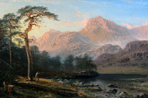
Lake District Wall Art
Lake district wall art brings the Cumbrian fells and waters into a room through oil, watercolour and early cartography.
Lake District Wall Art
Lake district wall art covers framed watercolours, oils on canvas and antique maps capturing Cumbrian landscapes. Buyers look for these pieces to anchor a room with recognizable northern topography, from Windermere to the Langdale Pikes.
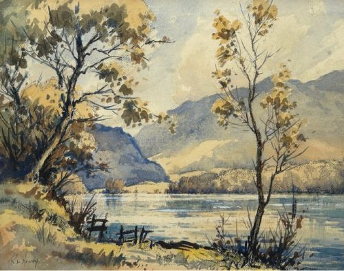
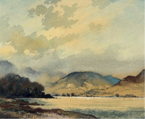
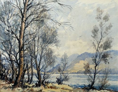
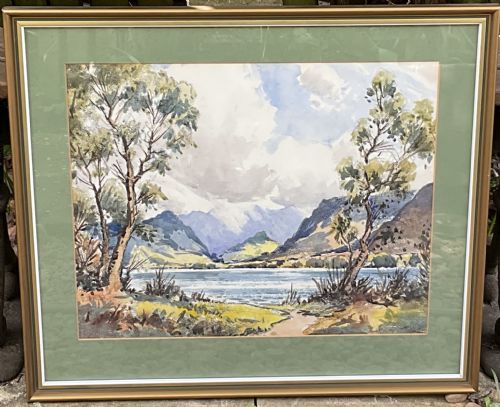
The selection ranges from Victorian oil paintings of Grizedale Pike and Rydal Lake to mid-century watercolours by Robert Leslie Howey. Early eighteenth-century maps by Rob't Morden also appear, offering cartographic records of Westmorland alongside artistic views.
Materials and technique
Artists deployed watercolour pigment on paper and oil paint on canvas to render the shifting light over Cumbrian waters. Brushwork varies from the smooth academic finish of the nineteenth century to looser post-war impasto applications.
Framed maps rely on early engraving techniques on paper, often showing hand-tinted county boundaries. Support materials include timber frames that complement the traditional subjects.
Current listings feature nineteenth-century oil paintings alongside mid-century watercolours and early eighteenth-century paper maps.
Assessing quality
Top-tier examples demonstrate confident handling of local topography and atmospheric weather, capturing specific locations like the River Duddon or Blea Tarn with precision. Lesser pieces rely on formulaic compositions that lack geographical conviction.
Condition of the paper, canvas and original pigments dictates desirability, alongside the strength of attribution to recorded painters or cartographers.
Robert Leslie Howey·Helen Layfield Bradley·James Gunson Atkinson·Rob't Morden·Alfred de Breanski·Sidney Richard Percy·William Mellor·Percy Lancaster
The Lake District Wall Art Glossary
- Impasto
- Paint applied thickly to a canvas so that it stands proud of the surface. This technique creates a tangible sense of texture and catches light.
- Cartography
- The science or practice of drawing maps. Antique examples provide historical boundaries alongside decorative geographical details.
- Watercolour
- A paint consisting of pigment suspended in a water-based solution. It is traditionally applied to paper to achieve translucent washes of colour.
- Oil on canvas
- Pigment mixed with drying oil applied to a woven fabric stretched across a wooden frame. It allows for rich colour blending and durability.
Lake District Wall Art: Frequently Asked Questions
How do I identify the specific location in a painting?
Artists often inscribed the title, such as Langdale Pikes or Ulpha Kirk House, directly onto the stretcher, frame or reverse of the canvas.
Local landmarks like Grizedale Pike or Windermere remain largely unchanged, allowing modern viewers to match the topography to current maps.
What is the difference between an oil painting and a watercolour?
Oil paintings utilise pigment bound in drying oil on canvas, offering rich textures and deep colour saturation suitable for dramatic fells.
Watercolours employ water-soluble pigments on paper, creating lighter, more luminous atmospheric effects often protected behind glass.
How should I hang lake district wall art at home?
Pair these traditional landscapes with neutral wall colours that allow the earthy greens and blues of the Cumbrian palette to stand out.
Keep oil paintings and watercolours away from direct sunlight to prevent the fading of pigments and degradation of paper.
Are antique maps considered fine art?
Early engraved maps function primarily as historical documents of counties like Westmorland, created by cartographers to record boundaries.
They serve as decorative wall art when framed appropriately, combining geographical history with hand-coloured cartouches.