



Historical Map Engraving
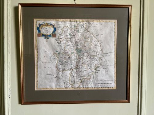
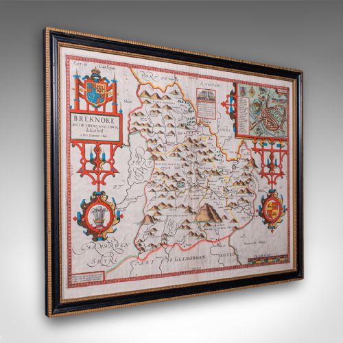
When you search for a historical map engraving, you uncover centuries of cartography captured on paper through ink and watercolour.
Historical Map Engraving
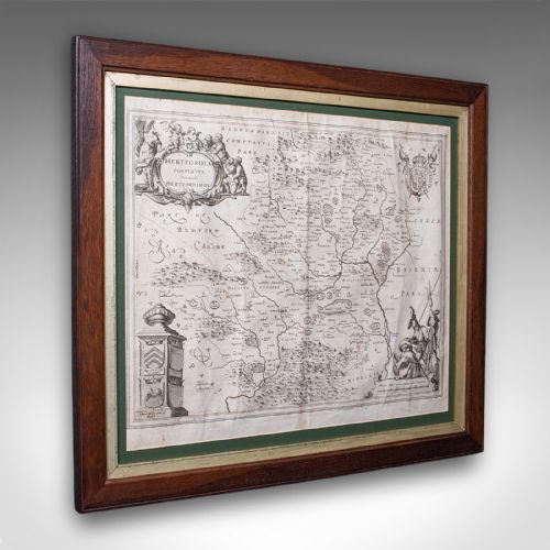
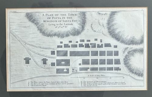
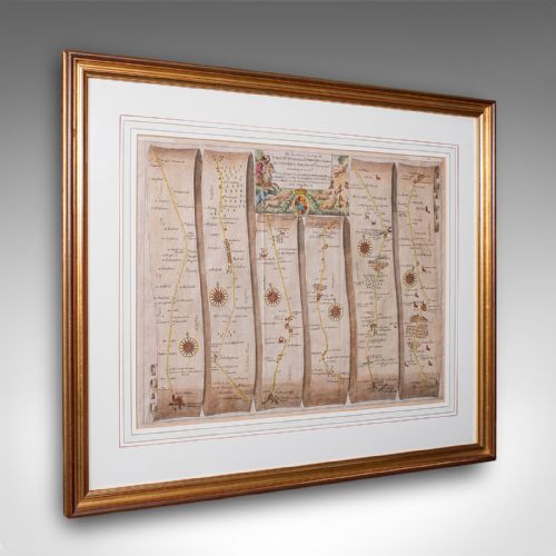
A historical map engraving serves as both a geographical record and a piece of wall art, spanning periods from pre-sixteenth century works to Edwardian prints. These framed maps and county surveys capture regions from local English shires to the wider world as cartographers understood it.
The selections available here frequently originate from seventeenth-century Dutch cartography or eighteenth-century English atlases, often presented in wood or gilt wood frames behind glass.
Collectors encounter works attributed to notable cartographers alongside anonymous regional prints, reflecting centuries of changing borders and geographical knowledge.
Materials and production methods
Finished plates were housed in wooden frames, sometimes accented with gold leaf or gilt wood, and glazed to protect the delicate paper surface from environmental damage.
Historical Map Engraving Retail Price Guide 2026
Typical asking prices for historical map engraving among the pieces listed under this phrase on Sellingantiques today, from the lower quarter to the upper quarter. They describe what is for sale here now, not the wider market.
Cartographers frequently filled blank ocean spaces with elaborate sea monsters and sailing ships to disguise uncharted waters.
Assessing quality in cartography
The vibrancy and originality of contemporary hand colouring also influence the overall standard, alongside the survival of margins and the condition of the framing materials.
Robert Morden·John Speed·Blaeu·Eman Bowen
The Historical Map Engraving Glossary
- Engraving
- A printmaking technique where an artist cuts lines directly into a metal plate with a burin. This method produces fine, sharp details essential for early cartography.
- Cartouche
- A decorative frame enclosing the map's title, scale, or publisher details. These artistic elements often reflect the stylistic period of the work.
- Atlas
- A bound collection of maps published together. Individual sheets were frequently removed later for framing.
- Dual Sided
- A map featuring printed cartography or text on both sides of the paper sheet. This format often appears in historical atlases and books.
Historical Map Engraving: Frequently Asked Questions
How do I date an antique map?
Dating relies on internal evidence such as cartouches, typography, place names, and historical dedications printed on the sheet. Reference works and publisher details often narrow the decade of publication.
Printers also updated plates over time to reflect changing borders, which helps separate original sixteenth or seventeenth-century impressions from later reissues.
Are these maps original or reproductions?
The pieces listed originate from the periods stated, utilising period paper, ink, and traditional printing methods rather than modern photographic reproduction.
Close examination under magnification reveals the plate mark indentations and ink layer characteristics typical of genuine historical printmaking.
How should I frame and hang a map?
Conservation framing using acid-free mounts and UV-filtering glass protects delicate paper from light exposure and chemical degradation over time.
Keep framed works away from direct sunlight and damp environments to preserve the paper support and any hand-applied watercolour pigments.
Why do some maps feature hand colouring?
Publishers and owners often applied watercolour to maps either at the time of publication or subsequently to enhance visual appeal and distinguish territories.
Original contemporary colouring is generally valued by collectors, though uncoloured impressions remain desirable for their stark, graphic engraved lines.