

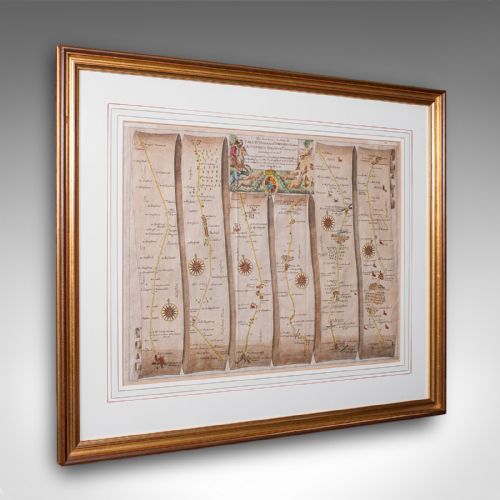


Historical Cartography
Historical cartography maps out past territories on paper using ink and watercolour, offering a direct view of how earlier centuries charted counties, regions and the wider world.
Historical Cartography
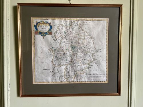
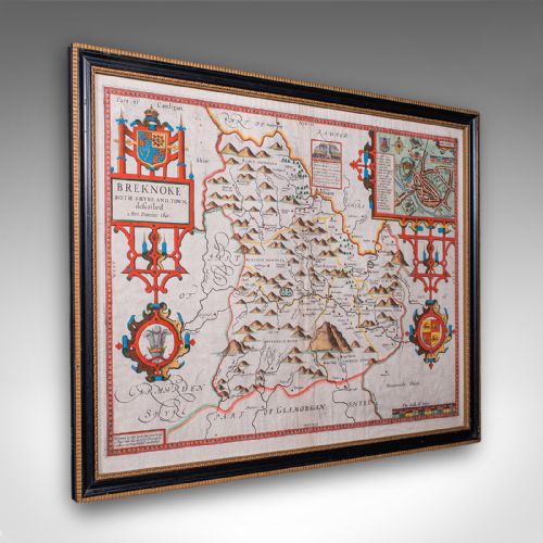
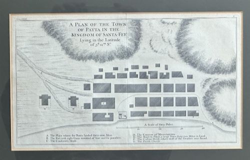
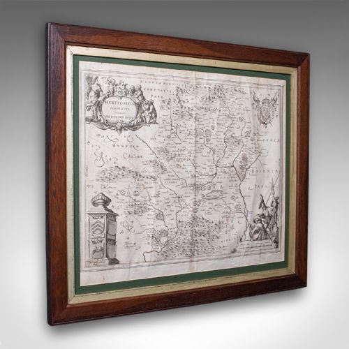
Historical cartography encompasses printed and engraved maps ranging from pre-sixteenth century examples through the seventeenth, eighteenth and nineteenth centuries. These pieces record counties, countries and global regions produced by prominent cartographers across England, the Netherlands, France and Italy.
Buyers most frequently encounter framed county maps, folding maps and atlas sheets mounted behind glass in wood frames. Subjects span local English and Welsh shires alongside broader European territories, colonial regions and global voyages.
The selection includes decorative sheets with hand colouring and dual-sided text panels, reflecting how geographical knowledge circulated in earlier periods.
Materials and production methods
Makers printed historical cartography from engraved copper plates onto laid or woven paper, using dark ink lines to define borders, topography and lettering. Artisans then applied watercolour by hand to highlight regional boundaries, coats of arms and cartouches.
Framed examples utilise wood frames combined with glass protection to preserve the delicate paper sheets. Certain pieces incorporate gold leaf or gilt wood finishes on the surrounding mouldings.
Historical Cartography Retail Price Guide 2026
Typical asking prices for historical cartography among the pieces listed under this phrase on Sellingantiques today, from the lower quarter to the upper quarter. They describe what is for sale here now, not the wider market.
The listings feature paper maps printed from engraved copper plates, incorporating hand-applied watercolour and bound within wood frames.
Distinctions in execution and condition
Quality in historical cartography depends upon the crispness of the original copper plate impression and the skill of the contemporary hand colouring. Finer examples retain deep plate marks, legible typography and vibrant, stable pigments that do not obscure the engraved lines.
The integrity of the paper support and the precision of the cartographer's geographical layout dictate the standing of an individual sheet. Pieces bearing well-preserved margins and clear historical provenance represent the upper tier of the range.
Robert Morden·John Speed·Blaeu·Eman Bowen
The Historical Cartography Glossary
- Cartography
- The science or practice of drawing maps. In this context, it refers to engraved and printed geographical sheets from past centuries.
- Plate mark
- The indentation left on paper by the edge of a copper printing plate during the press process. This feature confirms the use of traditional intaglio printing.
- Cartouche
- A decorative frame or medallion on a map enclosing the title, scale bar or cartographer's dedication. They often display elaborate ornamentation characteristic of their period.
- Dual sided
- A map featuring printed text or cartographic detail on both the front and reverse of the sheet. This layout frequently appears in seventeenth-century atlas pages.
- Laid paper
- Handmade paper showing visible parallel lines and grid patterns when held to the light. It serves as the primary substrate for early printed maps.
Historical Cartography: Frequently Asked Questions
How should I hang historical maps?
Protect framed paper maps from direct sunlight to prevent the ink and watercolour pigments from fading over time. Position them on interior walls where room temperature and humidity remain stable.
Ensure the frame is properly sealed with backing materials to keep dust and atmospheric moisture away from the historic paper surface.
What do dual sided maps show?
Dual sided maps feature printed text, descriptions or auxiliary illustrations on the reverse side of the paper sheet. This format typically results from how historical atlases were bound and printed during the seventeenth century.
Collectors appreciate these pieces because the accompanying text provides contemporary context for the depicted region.
How do I identify the period?
Examine the style of the cartouche, the typography used for place names and the spelling conventions employed across the sheet. Stylistic markers often shift distinctly between the seventeenth, eighteenth and nineteenth centuries.
Reference publications and the recorded dates of the mapmaker's active working life help confirm the precise era of production.
Are these maps original prints?
The listings comprise original engraved and printed sheets produced during the stated periods rather than modern reproductions. They derive from contemporary atlases, regional surveys and independent publishing projects.
Close inspection under magnification reveals the characteristic impression of copper plates and the texture of period paper.