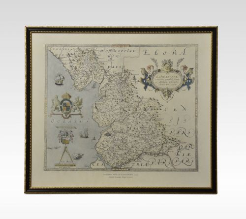
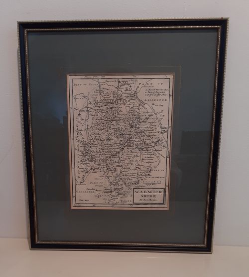
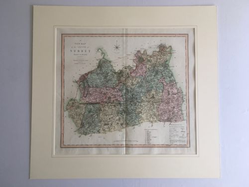
A framed english county map brings early cartography onto the wall, offering a tangible window into seventeenth and eighteenth-century geography.
The listings span from the seventeenth century through to the twentieth century, combining paper, ink, oak, and gilt wood.