



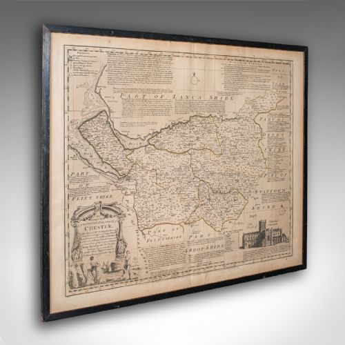


Engraved Map Art
Engraved map art captures centuries of cartography, presenting framed regional and global surveys preserved in paper, ink, and period frames.
Engraved Map Art
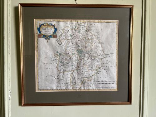
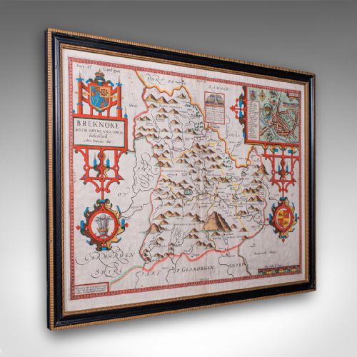
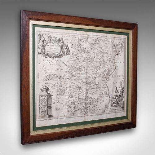
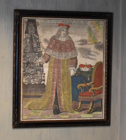
Engraved map art encompasses antique cartography printed from copper plates and woodcuts, mapping counties, countries, and continents across several eras. Buyers seek these pieces to display historical geography, heraldry, and town plans within domestic interiors.
The most common pieces met on this page are seventeenth-century and eighteenth-century county maps and regional views, often framed behind glass in wood or gilt mouldings. These works range from local English and Welsh shires to wider European regions and colonial territories.
Earlier examples frequently originate from Dutch and English presses, recording territorial boundaries alongside decorative cartouches and Latin or vernacular text. Later nineteenth-century editions continue the tradition with steel engravings and detailed town surveys.
Distinctions in quality
Quality rests primarily on the sharpness of the plate impression, the precision of the engraving, and the preservation of the paper substrate. Early strikes from copper plates retain crisp lines and fine lettering that soften in later editions or worn impressions.
The presence of contemporary or early hand colouring alters the character of a sheet, alongside the historical significance of the cartographer. Original margins, clear publishers' imprints, and stable framing conditions elevate individual works within the range.
Engraved Map Art Retail Price Guide 2026
Typical asking prices for engraved map art among the pieces listed under this phrase on Sellingantiques today, from the lower quarter to the upper quarter. They describe what is for sale here now, not the wider market.
Early cartographers frequently populated empty ocean spaces with elaborate sea monsters and sailing ships to disguise a lack of geographic data.
John Speed·Blaeu·Braun and Hogenberg·Robert Morden·Johannes Janssonius·Eman Bowen
The Engraved Map Art Glossary
- Cartouche
- A decorative frame enclosing the map's title, scale, or dedication, often adorned with heraldry, figures, or flora. These artistic flourishes help date the engraving and identify the publisher.
- Copperplate engraving
- A intaglio printmaking technique where lines are incised into a copper sheet with a sharp tool called a burin. Ink fills these grooves before transfer under pressure to damp paper.
- Laid paper
- Handmade paper showing a visible grid of parallel lines from the wire mesh mould during production. It is commonly found in seventeenth-century and eighteenth-century editions.
- Wove paper
- Paper manufactured on a fine woven wire cloth, producing a smooth surface without watermark lines. It largely superseded laid paper toward the end of the eighteenth century.
- Hand colouring
- The application of watercolour or pigment by hand after the printing process to highlight geographical boundaries and decorative elements. This work was often performed by specialist workshops.
Engraved Map Art: Frequently Asked Questions
How do I identify the date of an antique map?
Dates are typically derived from the cartographer's active period, title page publication years, or internal geographical markers such as town names and boundary changes.
Paper characteristics, watermark analysis, and publisher imprints further narrow the decade of printing.
Were these maps originally published in atlases?
Many sheets were bound into county histories, world atlases, or travel volumes before being removed and framed in later centuries.
Reverse text often indicates the original book context from which the map came.
How should I care for framed map art?
Keep framed pieces away from direct sunlight and damp environments to protect the paper and watercolour pigments from fading or foxing.
Ensure framing materials are acid-free to prevent degradation of the paper over time.
What is the difference between an engraving and a woodcut?
Woodcuts involve carving away the background to leave raised lines for printing, producing bolder and simpler strokes.
Engravings cut lines directly into metal plates, allowing for finer detail and intricate lettering.