

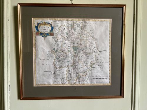
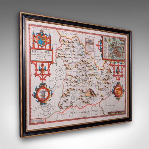
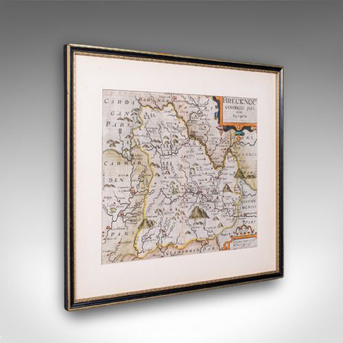
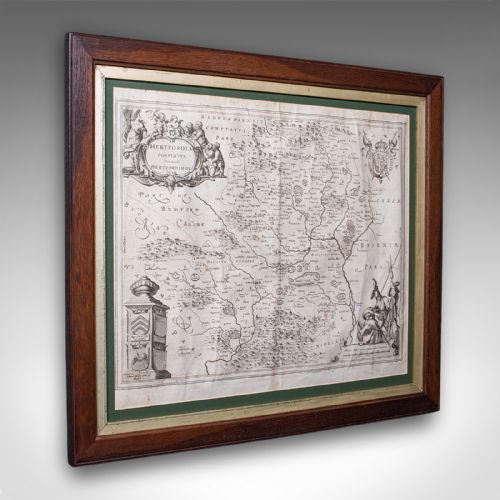



Engraved Map Print
When you search for an engraved antique map print, you seek a tangible window into past centuries through copperplate lines and period paper.
Engraved Map Print
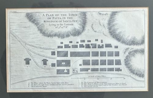
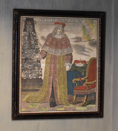
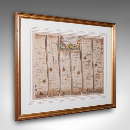
An engraved antique map print represents geographical knowledge and decorative artistry from periods such as the seventeenth century and the Georgian era. Buyers encounter county surveys, regional charts and world overviews framed behind glass in wood or gilt frames.
The selections available span British county maps by cartographers like Robert Morden and John Speed, alongside continental works originating from Dutch and French presses. These pieces function as historical wall art that records shifting borders and early topography.
Materials and Techniques
The primary vehicle for these works is laid or woven paper, impressed with inked lines transferred from copper printing plates. Artisans frequently applied watercolour by hand to highlight borders, regional divisions and cartouches.
Framing often incorporates period woods such as oak, sometimes complemented by gold leaf or gilt wood surrounds. Protective glass preserves the delicate ink and paper from atmospheric damage.
Engraved Map Print Retail Price Guide 2026
Typical asking prices for engraved map print among the pieces listed under this phrase on Sellingantiques today, from the lower quarter to the upper quarter. They describe what is for sale here now, not the wider market.
Listings feature paper, ink, and watercolour mounted in oak, glass, and gilt wood frames across the seventeenth century and Georgian periods.
Quality Variations
Differentiation in these prints stems from the clarity of the copperplate impression and the precision of the initial engraving. Crisp lines and deep plate marks indicate a pull taken early in the life of the plate.
The application of hand-colouring introduces another tier of distinction, where skilled tonal work enhances the visual depth without obscuring the cartographic detail. The preservation state of the paper substrate also governs the standing of an individual print.
John Speed·Joan Blaeu·Robert Morden·Thomas Jefferys·Johannes Janssonius·Eman Bowen
The Engraved Map Print Glossary
- Cartouche
- A decorative frame enclosing the map title, scale bar or dedication. These ornate elements often reflect the artistic style of the period.
- Plate mark
- The indentation left on the paper by the edge of the copper printing plate under high pressure. This physical mark confirms the intaglio printing method.
- Atlas
- A bound collection of maps published together. Many individual prints originate from these disassembled volumes.
- Intaglio
- A printing process where ink is held within incised lines cut into a copper or metal plate. This technique produces the raised ink texture characteristic of early maps.
Engraved Map Print: Frequently Asked Questions
What is an engraved antique map print?
These pieces are historical geographical sheets produced by pressing inked copperplates onto handmade paper. They depict regions, countries and towns from past centuries.
Cartographers and publishers created them for reference, administrative use or inclusion in historical atlases.
How were these maps originally coloured?
Publishers employed colourists who applied watercolours by hand directly onto the printed paper sheets. This work highlighted county boundaries, borders and decorative cartouches.
Some examples remain uncoloured as originally issued, while others received pigment long after printing.
How do I date an antique map?
Dating relies on internal evidence such as the cartographer's imprint, town names, historical typography and dedication text within the cartouche. Reference catalogues match these details to known publishing runs.
The paper stock and watermark characteristics also offer clues to the period of production.
How should I display a framed map?
Display these works away from direct sunlight to prevent the fading of ink and watercolour pigments. Stable indoor humidity protects the vintage paper from warping or foxing.
Ensure the frame utilises conservation-grade backing materials to maintain the longevity of the print.