

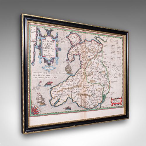
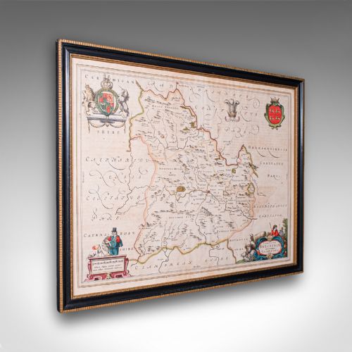
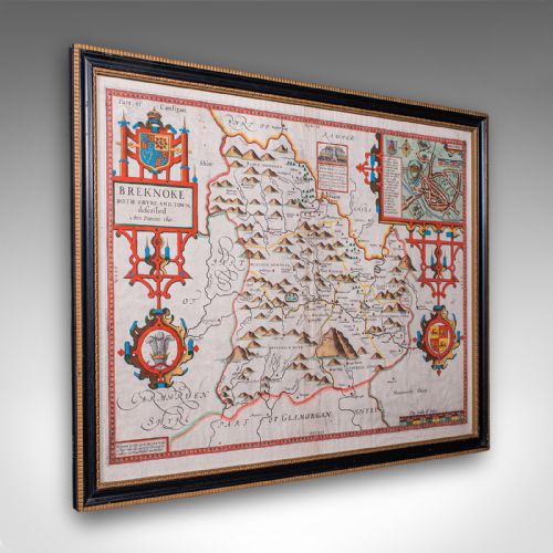
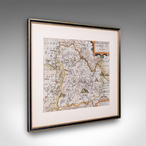




Black Framed Map
A black framed map brings centuries of geography onto the wall, offering detailed cartography enclosed in dark wood.
Black Framed Map
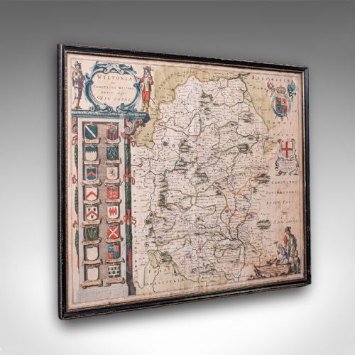
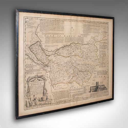
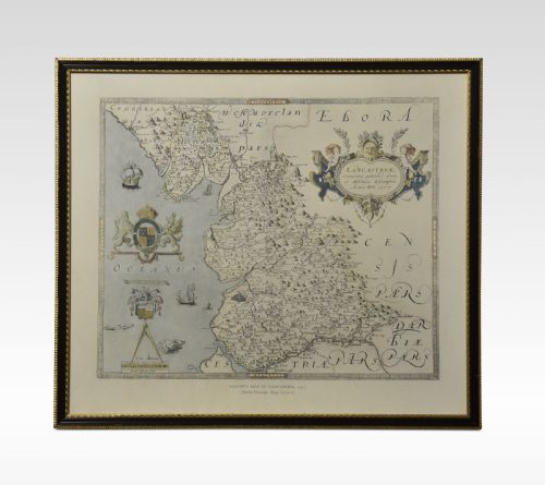
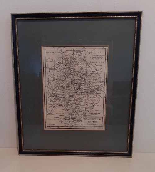
A black framed map combines historical cartography with dark timber surrounds, covering English and Welsh counties alongside European regions. These pieces range from seventeenth-century Dutch cartography to nineteenth-century charts and twentieth-century prints.
The selections appearing here most frequently include engraved county maps by makers such as Robert Morden and John Speed, alongside Dutch works by Blaeu and Janssonius. Buyers will also encounter mid-eighteenth-century maps by Emanuel Bowen and later steel engravings from the Victorian era.
How they were made
These items rely on paper as the primary medium for the cartography, bearing ink impressions from copper or steel plates. Many examples incorporate hand-applied colouring or gold leaf details to highlight borders and cartouches.
The framing utilises wood finished in black, paired with glass to protect the delicate paper beneath. Construction methods follow traditional framing techniques suited to preserving antique prints.
Black Framed Map Retail Price Guide 2026
Typical asking prices for black framed map among the pieces listed under this phrase on Sellingantiques today, from the lower quarter to the upper quarter. They describe what is for sale here now, not the wider market.
Cartographers frequently filled blank ocean spaces with mythical sea monsters and elaborate sailing ships.
What varies in quality
Quality rests upon the clarity of the original engraving and the precision of the cartographer's work, distinguishing master cartographers like Speed and Blaeu from later or lesser-known draftsmen. The sharpness of the ink impression and the preservation of marginal details dictate the visual impact of the piece.
The standard of the framing material and the integrity of the paper itself also differentiate the items. Stronger sheets with minimal toning and stable timber surrounds stand apart from heavily restored or fragile examples.
Blaeu·Johannes Janssonius·John Speed·Robert Morden·Eman Bowen
The Black Framed Map Glossary
- Cartography
- The science or practice of drawing maps. In these listings, it refers to antique county and regional maps.
- Engraving
- A printmaking technique where an artist carves an image onto a metal plate to hold ink. This method produced the fine lines seen on seventeenth and eighteenth-century maps.
- Cartouche
- A decorative frame or tablet on a map enclosing the title, scale, or dedication. These are often ornate elements in Dutch and English cartography.
- Atlas
- A bound collection of maps, though individual sheets taken from such volumes frequently appear framed. They served as comprehensive geographical references for collectors and scholars.
Black Framed Map: Frequently Asked Questions
How do I date an old map?
Dating relies on the cartographic details, place names, and publisher signatures printed directly onto the paper. Stylistic clues in the surrounding cartouches and typography also help narrow down the decade of production.
Evidence from seventeenth-century issues often shows Latin text on the reverse, while eighteenth and nineteenth-century examples reflect changing political boundaries and modern printing techniques.
Are these original antique maps?
The inventory consists of period engravings and maps originating from the seventeenth, eighteenth, nineteenth, and early twentieth centuries. Each piece reflects the printing and cartographic standards of its specific era.
Works range from early copperplate county maps by English publishers to later steel-engraved charts and topographical prints.
How should I hang a framed map?
Display these pieces away from direct sunlight to prevent the ink and paper from fading over time. Maintaining a stable indoor environment protects the paper from humidity fluctuations.
Secure wall fixings should match the weight of the timber frame and glass assembly to ensure safe exhibition.