






Paper Cartographic Print
A paper cartographic print records boundaries and cities through centuries of ink and paper, offering a direct window into historical geography.
Paper Cartographic Print
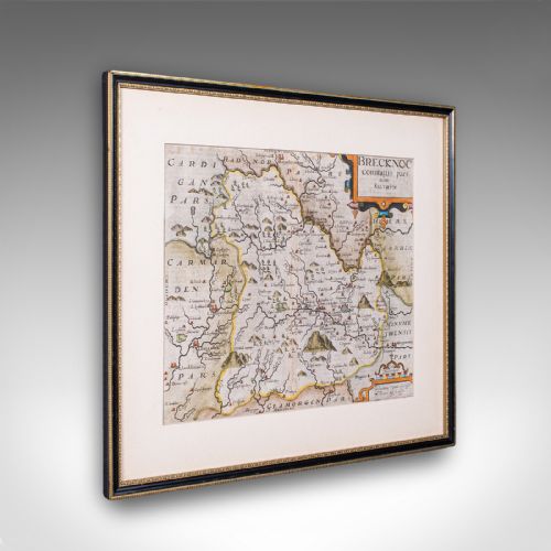
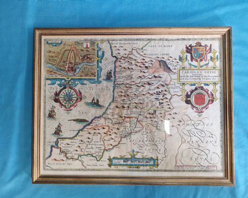
When you search for a paper cartographic print, you encounter framed maps, wall maps, town plans, and road maps spanning from the seventeenth century through the Victorian era. These pieces document geographical knowledge of English counties, European regions, and the wider world as recorded by historical cartographers.
The selections available here range from local English county surveys by Robert Morden and Christopher Saxton to continental town plans and global regional maps. Most examples appear framed in wood such as oak or mahogany, often protected beneath glass.
How they were made
Framing materials commonly include traditional timbers like oak and mahogany, sometimes complemented by brass fittings and gold leaf accents to house the delicate paper sheets securely.
Listings feature paper supports combined with wood, glass, and ink across Georgian and Victorian periods.
What varies in quality
Quality rests upon the clarity of the original engraving and the precision of the contemporary hand-colouring applied to the paper. Crisp line work and well-preserved margins distinguish superior examples from standard printings.
The historical significance of the cartographer and the geographical scope of the region depicted influence the distinction of individual pieces. Master cartographers such as Joan Blaeu or John Speed command greater attention through their detailed topographical representations.
G and J Cary·Thomas Jefferys·Joan Blaeu·Robert Morden·Christopher Saxton·Emanuel Bowen
The Paper Cartographic Print Glossary
- Cartography
- The science or practice of drawing maps. It encompasses the detailed study and creation of geographical charts and town plans.
- Copperplate engraving
- A intaglio printing process where an artist cuts lines into a copper sheet to hold ink. This technique allows for the fine detail seen in early maps.
- Hand-coloured
- A process where pigment is applied by hand to a monochrome print after production. This adds visual distinction to regional boundaries and decorative cartouches.
- Atlas
- A bound collection of maps published together in a single volume. Individual plates are frequently removed for framing.
- Town plan
- A detailed cartographic representation of an urban area showing streets, docks, and principal buildings. These plans document the historical layout of cities and ports.
Paper Cartographic Print: Frequently Asked Questions
How do I date an antique map?
Dating relies on internal evidence such as cartouches, dedication texts, stylistic lettering, and historical place names depicted within the boundaries. Reference books and comparison with known works by specific publishers help narrow the active period.
Printers often included publication dates or copyright notices directly on the plate, though later impressions can sometimes complicate the original production year.
Where were wall maps displayed?
Historical wall maps typically hung in libraries, studies, and administrative offices where gentlemen and scholars consulted geographical information. They served both a practical navigational purpose and a decorative function in prominent rooms.
Large formats were often mounted on linen and fitted with wooden rollers to facilitate hanging and rolling up when not in use.
How should I frame paper maps?
Framing requires acid-free materials and UV-protective glass to shield delicate paper and ink from light degradation and environmental moisture. Hinging the paper safely to a neutral backing board prevents adhesive damage.
Keeping the piece away from direct sunlight preserves the original hand-coloured pigments and prevents the paper from becoming brittle over time.
What is an atlas sheet?
An atlas sheet is a single map page originally bound into a published collection of maps before being separated for individual sale and display. These sheets often retain a central fold line where they were bound into the original volume.
Collectors value these plates for their distinct regional coverage and the quality of the surrounding geographical text printed on the reverse.