





19th Century Map Print
A 19th century map print brings topographical detail and period cartography into a room, offering a tangible window into past landscapes.
19th Century Map Print
A 19th century map print covers engraved, steel-engraved and published sheets showing regions, cities, and military formations from the Georgian, Regency, and Victorian eras. These items capture geographical knowledge and decorative artistry spanning from eighteen hundred to nineteen hundred.
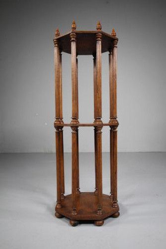
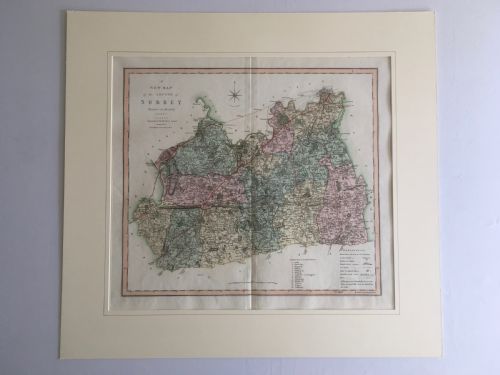
Buyers frequently encounter framed maps, wall maps, and individual prints detailing places such as London, Surrey, the Russian dominions, and North America. These pieces often arrive mounted in wood frames or presented within library scroll stands and folio racks.
The selection ranges from detailed regional surveys by known cartographers to military prints and architectural folio stands. Each object reflects the mapping standards and publishing methods of the nineteenth century.
How they were made
Framed pieces utilise wood surrounds such as oak or maple, sometimes paired with glass to protect the delicate paper surfaces. Associated furniture like scroll stands and folio racks employ solid oak and timber construction to hold large formats.
Listings feature works published across the nineteenth century, spanning the Georgian, Regency, and Victorian periods using paper, ink, and steel engraving.
What varies in quality
Quality rests in the crispness of the steel engraving and the precision of the original cartographer's work, distinguishing sharp impressions from worn plates. The retention of original hand watercolour adds depth that plain monochrome impressions lack.
Condition of the paper, the absence of heavy foxing, and the integrity of the framing materials determine the desirability of a piece. Associated items like library stands vary according to the joinery quality and timber selection.
Willam Darton·Colton·J.R. Thompson·R. Creighton·Cassell·Agas·Jas Wyld·John Cary·J. Duncan·C. Smith
The 19th Century Map Print Glossary
- Steel engraving
- A printmaking technique using a steel plate that allows for exceptionally fine, durable lines and detailed cartography. This method superseded copper engraving in the nineteenth century.
- Foxing
- Brown spots on old paper caused by chemical reactions in the pulp or damp storage conditions over decades. It is common in nineteenth century prints.
- Cartography
- The science and art of making maps, reflecting the geographical knowledge and political boundaries of the period. Cartographic style shifted significantly between the Georgian and Victorian eras.
- Folio stand
- A piece of furniture designed to hold large art prints, maps, and architectural drawings. These stands are constructed from woods such as oak and mahogany.
- Scroll stand
- A wooden rack or stand intended to hold rolled maps and documents. They provide practical storage for large format paper items.
19th Century Map Print: Frequently Asked Questions
How should I hang a framed map?
Protect the paper from direct sunlight to prevent the ink and watercolour from fading over time. Hang it on an interior wall with stable humidity.
Ensure the wall fixings match the weight of the wood frame and glass. Secure the hanging wire properly to the wooden structure.
Are these maps original period items?
The listings comprise items produced during the nineteenth century, including works from the Georgian, Regency, and Victorian periods. Publishers created these as maps, engravings, and educational plates.
Each piece reflects the printing technology and geographical data of its specific publication date. Examine the paper characteristics and publisher details to understand the origin.
How do I care for antique paper?
Keep prints away from damp environments to prevent mould growth and the spread of foxing spots. Maintain a consistent room temperature.
Consult a paper conservator if cleaning or stabilization is required. Avoid touching the paper surface directly with bare hands.
What is a library scroll stand?
A library scroll stand is a nineteenth century wooden fixture designed to hold rolled maps and large documents for study. They were common in studies and institutional libraries.
These stands utilise timbers like oak and provide an alternative storage method to flat folio racks. They keep large cartographic materials accessible.