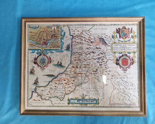
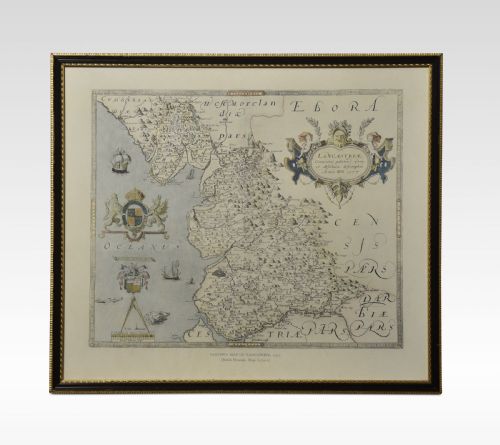
Framed county cartography brings historical maps of local shires into domestic spaces, offering a direct view into past geography.
Listings feature paper maps housed in wood, oak, and gilt wood frames under glass, spanning the seventeenth to nineteenth centuries.