






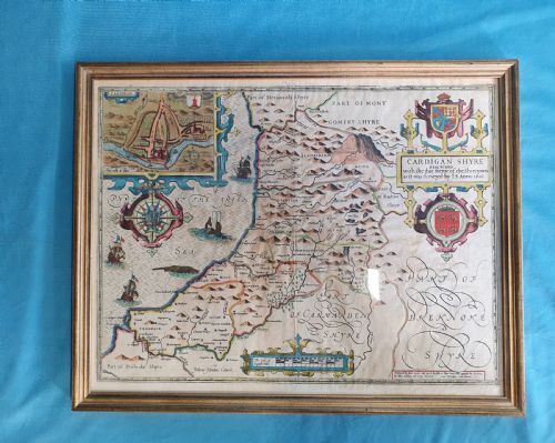
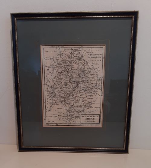
17th Century Map Print
A 17th century map print brings early cartography into the room, showing roads, counties, and settlements through the eyes of master engravers.
17th Century Map Print
When searching for a 17th century map print, a buyer encounters framed wall art depicting English counties, Scottish regions, and European territories from the seventeenth century and slightly beyond. These pieces originate from landmark atlases and standalone publications, capturing topography through copperplate engraving.
Most items on this page date directly to the 17th century, while others date from around 1700 or incorporate later nineteenth-century printings of earlier plates. Forms range from simple wall art to detailed atlas engravings with period cartography styles.
How they were made
These pieces are created using ink on paper through copperplate engraving, often enhanced with watercolour and hand-colouring. Master cartographers etched lines into metal plates before pulling impressions on laid or handmade paper.
Many examples are preserved behind glass within wooden frames, sometimes featuring oak surrounds or gold leaf accents. Contemporary framing protects the delicate paper from light and atmospheric damage while displaying the intricate cartography.
The inventory spans the seventeenth century, 1700, and an 1852 manual.
What varies in quality
Quality in these engravings rests on the clarity of the printed line and the precision of the plate impression. Early printings from well-maintained copperplates deliver crisp topographical detail, whereas later strikes can show wear and softened lines.
The application of hand-colouring introduces another distinction between copies, as skilled watercolour additions elevate the visual depth of cartouche details and county boundaries. Preservation of the paper sheet and the quality of historical framing materials also determine the standing of an individual piece.
C. Ogilby·Blaeu·John Speed·Johannes Janssonius·Robert Morden·Christopher Saxton
The 17th Century Map Print Glossary
- Cartography
- The science or practice of drawing maps. This discipline flourished during the seventeenth century as publishing houses mapped counties and continents.
- Copperplate engraving
- A intaglio printmaking technique where an artist incises an image onto a copper plate with a burin. Ink is applied to the grooves and transferred to paper under pressure.
- Atlas
- A bound collection of maps. Many single sheet prints originate from these comprehensive geographical volumes published in Amsterdam and London.
- Cartouche
- A decorative frame enclosing the title, scale, or cartographer's signature on a map. These ornamental devices often feature heraldry, figures, or allegorical scenes.
- Hand-coloured
- The application of watercolour or pigment by hand to a black and white printed map. This traditional process was frequently carried out in workshops at the time of publication.
17th Century Map Print: Frequently Asked Questions
Are these prints original to the seventeenth century?
The listings include genuine seventeenth-century impressions printed from copper plates during that era, alongside a small number of later printings from historic plates.
Buyers should examine the specific date assigned to each individual listing to determine its exact period of production.
How should I display an antique map print?
These framed pieces suit studies, libraries, and living rooms, hung away from direct sunlight to protect the ink and paper.
Keeping the room humidity stable prevents the paper from warping inside its glass and wooden frame.
What is a coaching road map?
Coaching road maps depict specific travel routes between towns, laid out in strip formats to guide travellers along historical highways.
Published around 1700, these strips highlight local landmarks, hills, and settlements along major English routes.