





Paper Map Wall Art
Paper map wall art brings historic cartography into modern interiors through framed antique engravings, county maps and regional charts.
Paper Map Wall Art
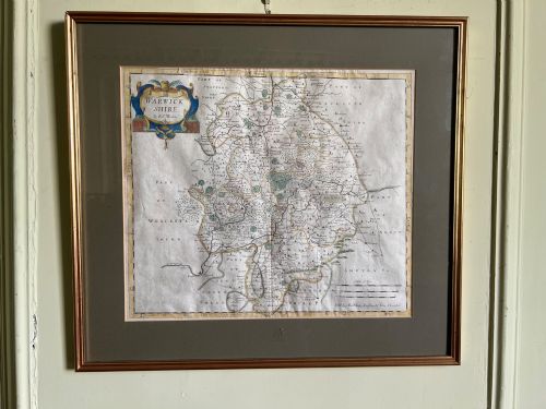
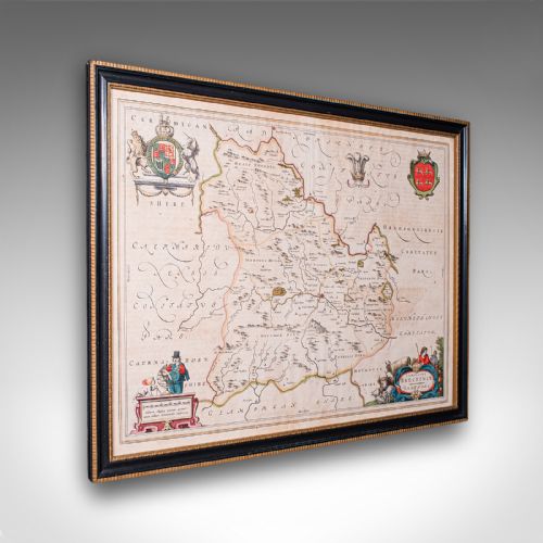
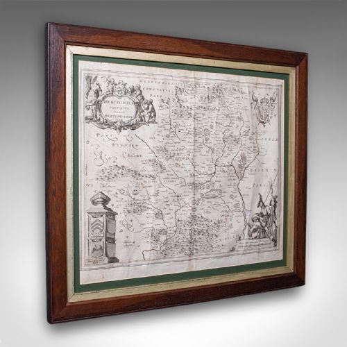
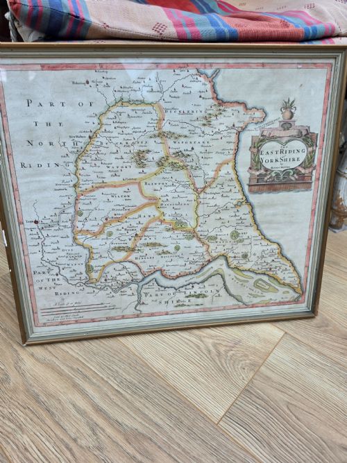
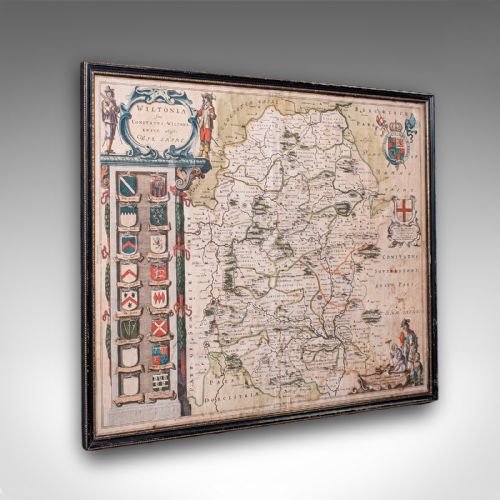
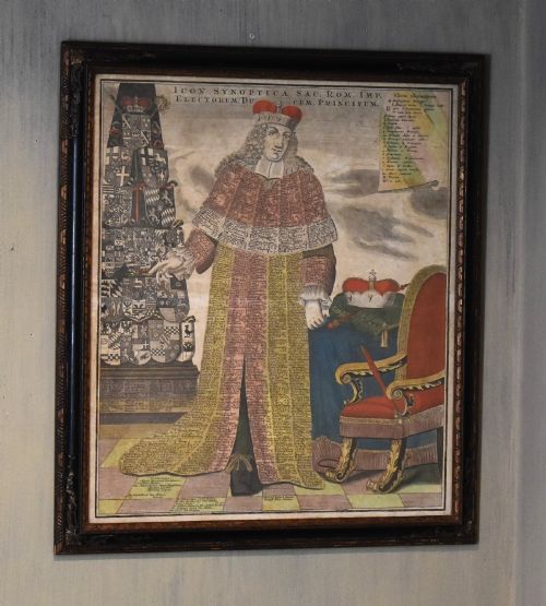
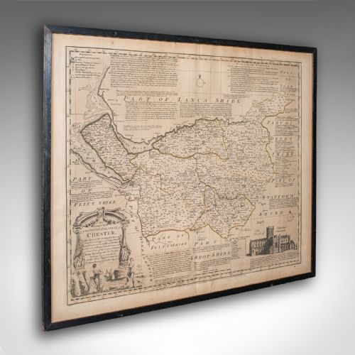
Paper map wall art encompasses framed antique maps, county engravings and regional charts spanning from the seventeenth century through to the Victorian era. These pieces record historical geography, depicting territories from local English counties to global continents as mapped by period cartographers.
The selections on this page concentrate heavily on seventeenth-century Dutch and British cartography alongside Georgian and Victorian atlas plates. Buyers encounter works by notable mapmakers presented behind glass within wood or gilt frames, ready for hanging.
How they were made
These works rely upon copperplate engraving or steel engraving on paper, often finished with hand-applied watercolour or ink. Artisans pressed inked metal plates onto damp paper using heavy presses to transfer intricate cartographic lines and text.
Framing utilised period materials such as oak and gilt wood, protecting the delicate paper surfaces beneath glass alongside backing boards.
Paper Map Wall Art Retail Price Guide 2026
Typical asking prices for paper map wall art among the pieces listed under this phrase on Sellingantiques today, from the lower quarter to the upper quarter. They describe what is for sale here now, not the wider market.
The listings feature paper map wall art spanning from the seventeenth century through to the Victorian era, utilising materials including oak, glass, gold leaf and watercolour.
What varies in quality
Quality rests upon the clarity of the engraving, the precision of the cartographic detail and the historical significance of the mapmaker. Fine examples exhibit crisp plate marks, detailed topography and well-preserved hand colouring that remains bright against the aged paper.
The framing materials also distinguish the pieces, with period wooden mouldings and gold leaf frames offering greater authenticity than later replacements. The preservation of the original paper margins and Latin or English text adds considerable distinction to early cartographic works.
Blaeu·John Speed·Robert Morden·Johannes Janssonius·Emanuel Bowen
The Paper Map Wall Art Glossary
- Cartography
- The science or practice of drawing maps. This discipline forms the foundation of all antique map wall art.
- Engraving
- A printmaking technique where an artist carves an image onto a metal plate. Ink settles into these grooves and transfers to paper under pressure.
- Plate mark
- The indentation left on paper by the edge of a copper or steel printing plate during the pressing process. Its presence confirms an authentic antique print.
- Atlas
- A bound collection of maps. Many wall art pieces originated as loose pages extracted from historical atlases.
Paper Map Wall Art: Frequently Asked Questions
How do I hang antique maps safely?
Position framed maps away from direct sunlight to prevent the watercolour pigments and paper from fading over time. Use sturdy wall anchors suited to the weight of the wood and glass frame.
Ensure the hanging wire or brackets securely support the structure without placing undue stress on the antique wooden moulding.
How can I tell a seventeenth-century map from a later copy?
Examine the paper quality, plate marks and typography closely under magnification. Early pieces typically feature laid paper with visible chain lines and hand-set text rather than modern dot-matrix printing.
Look for the characteristic impression of the copper plate near the edges of the printed image, which proves the piece came from a period press rather than a modern photographic reproduction.
What is the difference between a county map and an atlas map?
County maps focus specifically on local regions, shires and administrative boundaries within a country, often including decorative coats of arms or local landmarks. Atlas maps cover broader territories, ranging from entire nations to continents and the wider world.
Both formats were frequently published in historical volumes but served different geographical scales for contemporary scholars and travellers.
Can I remove the map from its frame?
Opening the frame risks damaging the delicate historic paper, especially if it has adhered to the glass or backing over centuries. Leave the map undisturbed within its protective enclosure to preserve its structural integrity.
Professional conservators should handle any necessary reframing using acid-free materials to safeguard the paper.