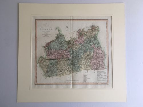
A historical map print brings centuries of cartography and hand-tinted geography into modern rooms through framed works spanning the seventeenth century to the Edwardian era.
Current listings feature maps printed on paper using ink and watercolour, housed within wood and glass frames spanning the seventeenth to the nineteenth centuries.