





Historical Map Art
Historical map art brings centuries of cartography to the wall, offering detailed engravings and hand-coloured geography from early publishers.
Historical Map Art
Historical map art encompasses framed antique maps, atlas excerpts, and prints dating from the sixteenth century to the early twentieth century.
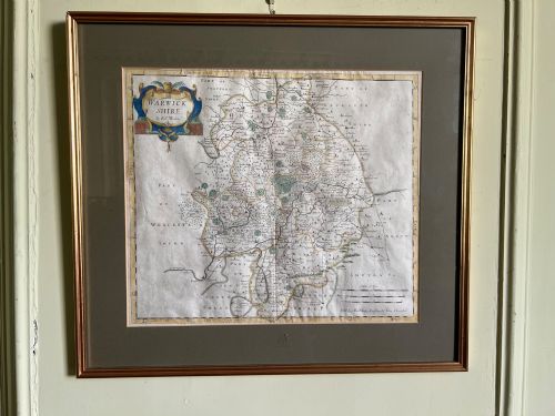
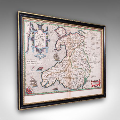
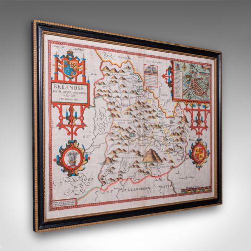
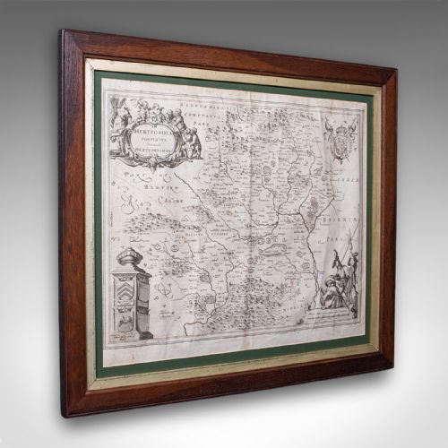
The pieces available most frequently take the form of framed county maps, regional surveys, and continental charts originating from English, Dutch, and French cartographers.
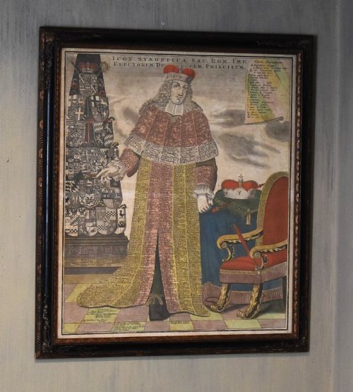
Subjects range from local British counties like Surrey and Wales to European regions, the Holy Roman Empire, and early depictions of North America.
Materials and technique
The works rely primarily on paper sheets marked with ink through copperplate engraving or woodcut printing, often enhanced with watercolour and gold leaf.
Many examples are preserved behind glass within wooden frames, occasionally incorporating gilt or oak mouldings to protect the fragile paper substrates.
Historical Map Art Retail Price Guide 2026
Typical asking prices for historical map art among the pieces listed under this phrase on Sellingantiques today, from the lower quarter to the upper quarter. They describe what is for sale here now, not the wider market.
The listings span multiple centuries, incorporating paper, ink, watercolour, gold leaf, glass, and oak materials.
Judging quality
Quality rests upon the clarity of the original ink impression, the precision of the engraving, and the crispness of surviving cartographic details.
The presence of early hand-colouring, the condition of the paper sheet, and the historical significance of the cartographer elevate certain examples above standard decorative prints.
John Speed·Blaeu·Robert Morden·Emanuel Bowen
The Historical Map Art Glossary
- Cartography
- The study and practice of making maps. It encompasses the decorative borders, typography, and geographical data found on antique plates.
- Atlas excerpt
- A single map sheet removed from a bound book or atlas volume. These plates often retain centre folds or binding margins from their original publication.
- Copperplate engraving
- A printmaking technique where an artist incises an image into a copper sheet with a burin. Ink is applied to the grooves and transferred under pressure to paper.
- Hand-coloured
- The practice of applying watercolour or pigment by hand to a printed monochrome map. This adds visual definition to borders, regions, and cartouches.
Historical Map Art: Frequently Asked Questions
How should I hang historical map art?
Keep framed pieces away from direct sunlight to prevent the watercolour pigments and paper from fading over time.
Ensure the room maintains a stable humidity level to protect the antique paper and wooden framing.
How do I identify the date of a map?
Look for printed publication dates, cartographer credits, and stylistic clues within the decorative title cartouches.
Comparative reference works often list specific plate editions and changes in geographical boundaries.
Are these original antique maps?
The collection consists of genuine period printings, ranging from sixteenth-century woodcuts to nineteenth-century steel engravings.
Each piece reflects the printing technology and geographical knowledge of its specific era.