



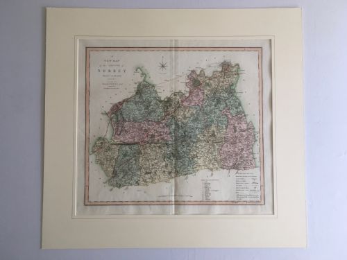


Historical County Map
A historical county map records the changing topography and cartography of Britain across centuries, offering collectors a detailed window into past landscapes.
Historical County Map
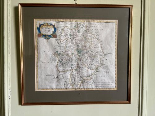
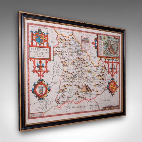
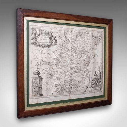
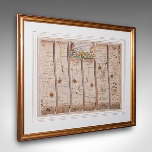
When buyers search for a historical county map, they encounter framed cartography ranging from seventeenth-century works to Victorian printings. These pieces record specific regions such as Hertfordshire, Surrey, and Gloucestershire, capturing local settlements and regional boundaries.
The selections on this page span the seventeenth century, the eighteenth century, and the Victorian era. Works by notable cartographers appear frequently alongside later adaptations and lithography prints.
Materials and construction methods
Makers produced these works on paper using ink and watercolour for regional details, often enclosing the sheets behind glass within wood or oak frames finished with gold leaf or gilt. Hand-colouring distinguished many early examples, while later Victorian items utilised lithography.
Framing protected fragile paper from environmental damage while allowing wall art display. The integration of period frames with original cartography remains a primary feature of these surviving items.
Historical County Map Retail Price Guide 2026
Typical asking prices for historical county map among the pieces listed under this phrase on Sellingantiques today, from the lower quarter to the upper quarter. They describe what is for sale here now, not the wider market.
Materials across these listings include paper, ink, watercolour, glass, wood, oak, gold leaf, and gilt.
Factors influencing quality
Quality rests upon the clarity of the engraving, the precision of the cartography, and the vibrancy of any applied watercolour. Early seventeenth-century impressions by master cartographers present distinct engraving depth compared to later nineteenth-century reprints.
The preservation of the paper sheet and the authenticity of the framing materials also determine the desirability of each piece. Surviving examples retaining clean margins and crisp typography occupy the higher tier.
Blaeu·Ogilby·Robert Morden·John Speed·Eman Bowen·C. Smith
The Historical County Map Glossary
- Cartography
- The science or practice of drawing maps. This discipline forms the core of antique map collecting.
- Lithography
- A method of printing using a stone or metal plate. This technique gained prominence in the Victorian era.
- Atlas
- A bound collection of maps. These volumes often supplied individual sheets for framing.
- Gilt
- A thin layer of gold applied to wood or metal frames. This finish enhances the decorative presentation of wall art.
Historical County Map: Frequently Asked Questions
How are historical county maps dated?
Dating relies on stylistic evidence, printer imprints, and historical cartographic records. Cartographers often updated geographical details and regional boundaries across successive editions.
Examining the paper type and engraving style further assists in confirming whether a piece originates from the seventeenth, eighteenth, or nineteenth century.
Were these maps originally bound in books?
Many early cartographic sheets originated as plates within larger atlases or county surveys. These volumes provided comprehensive geographic coverage before individual leaves were separated for framing.
Evidence of binding edges or historical folds often indicates an origin within a published volume rather than a standalone sheet.
How should I display framed cartography?
Framed wall art requires protection from direct sunlight to prevent the fading of ink and watercolour pigments. Stable room humidity helps preserve antique paper against degradation over time.
Glazing keeps dust and atmospheric pollutants away from the delicate surface of the paper.