





Historic Cartography
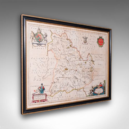
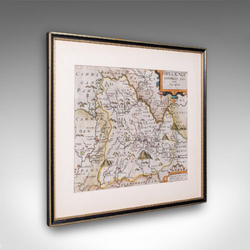
Historic cartography comprises antique maps, town plans and table globes offering tangible records of past geography.
Historic Cartography
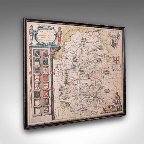
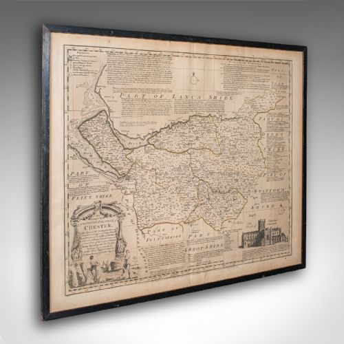
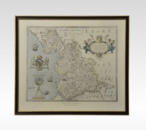
Historic cartography encompasses framed maps, town plans, atlas engravings and table globes dating from the seventeenth century through to the Victorian era. These pieces record counties, regions and world views across changing centuries.
Origins span seventeenth century Dutch and British cartography, Georgian plates and nineteenth century revisions. Buyers encounter works published by prominent cartographers alongside anonymous county surveys.
Materials and techniques
Makers produced these works on paper using ink and watercolour, frequently applying hand colouring to engraved plates. Framing materials include wood, gilt wood and glass to protect the fragile paper substrates.
Engraving and printing techniques developed across the periods represented, moving from early seventeenth century presses to Victorian production methods. Supplementary materials such as gold leaf and brass appear on select decorative items and table globes.
Historic Cartography Retail Price Guide 2026
Typical asking prices for historic cartography among the pieces listed under this phrase on Sellingantiques today, from the lower quarter to the upper quarter. They describe what is for sale here now, not the wider market.
Early cartographers filled unexplored waters with sea monsters, turning navigational hazards into magnificent swimming menagerie.
Distinctions in quality
Quality rests upon the clarity of the original impression and the precision of the engraving. Fine examples display crisp lines and legible typography across the paper surface.
The accuracy of contemporary hand colouring and the preservation of the paper sheet influence the standing of a piece. Period framing and genuine age-related patination on the materials further distinguish finer specimens.
Joan Blaeu·John Speed·Janssonius·Thomas Kitchin·John Cary
The Historic Cartography Glossary
- Cartography
- The science or practice of drawing maps. In antiques, this encompasses printed and engraved geographical representations.
- Atlas
- A bound collection of maps. Individual plates are frequently removed from these volumes for framing.
- Engraving
- A printmaking method where design lines are cut into a plate. Ink is applied to the recesses and transferred to paper under pressure.
- Table globe
- A spherical map mounted on a stand. These three-dimensional objects show terrestrial geography on a small scale.
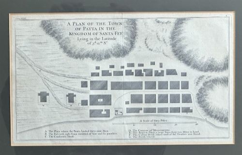
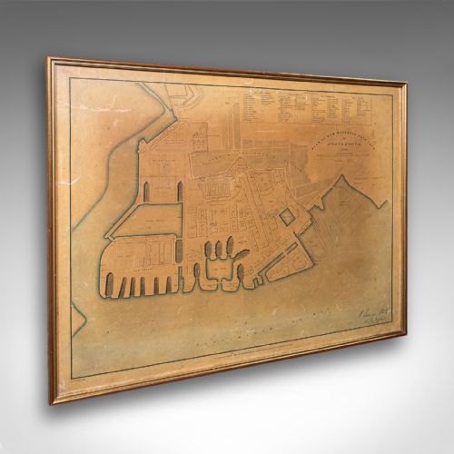
- Town plan
- A detailed map focusing on an urban settlement rather than a county or country. These documents record historical street layouts and fortifications.
Historic Cartography: Frequently Asked Questions
How do I identify a seventeenth century map?
Examine the paper quality, typography and cartographic style characteristic of the period. Early seventeenth century examples often feature Latin text on the reverse and distinct regional decorative cartouches.
Compare the spelling of place names with known historical editions. Reference works and publisher names listed on the margin provide further dating evidence.
How should I display framed maps?
Keep framed maps away from direct sunlight to prevent the fading of ink and watercolour pigments. Stable indoor humidity protects the paper and wooden frames from warping.
Use UV-filtering glass during framing to provide an extra layer of conservation. Hang the pieces on interior walls where environmental conditions remain consistent.
Are table globes fragile?
Table globes utilise delicate paper gores applied over a sphere, making them susceptible to surface damage and abrasion. The wooden and brass stands require gentle handling to preserve their mechanical joints.
Position globes on stable surfaces away from high traffic areas. Clean them only with a soft, dry cloth to avoid disturbing the historic surface.