

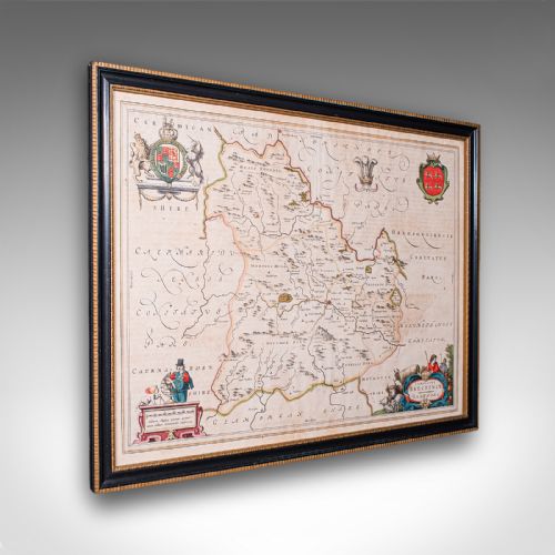
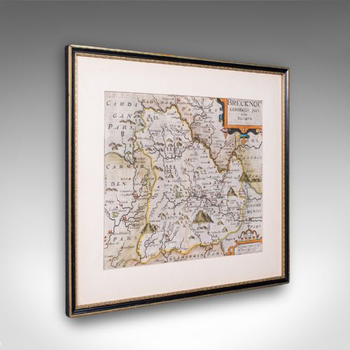
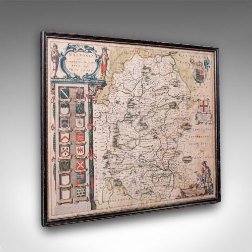
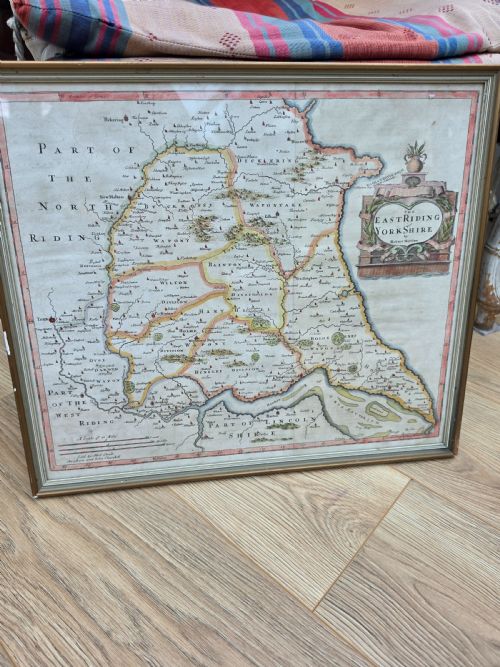






Framed Historic County Map
A framed historic county map brings centuries of domestic geography into a room, preserving early roads, settlements and administrative borders behind glass.
Framed Historic County Map
Every framed historic county map on this page presents geographical information from centuries past, spanning periods from the Elizabethan era through the seventeenth century, the Georgian period, and into the twentieth century.
The material forms are wall art items consisting of paper maps housed behind glass in wood frames, occasionally decorated with gold leaf or gilt wood.
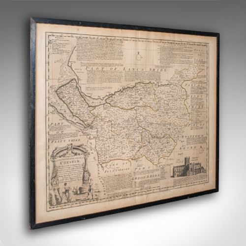
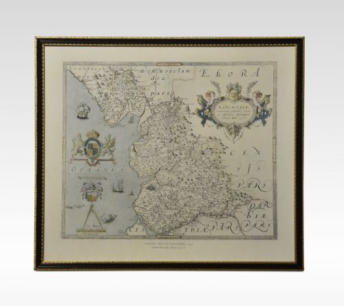
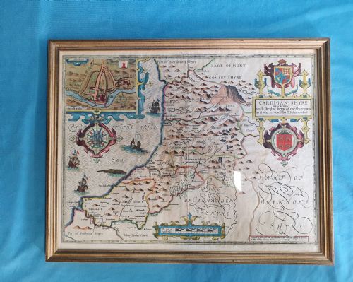
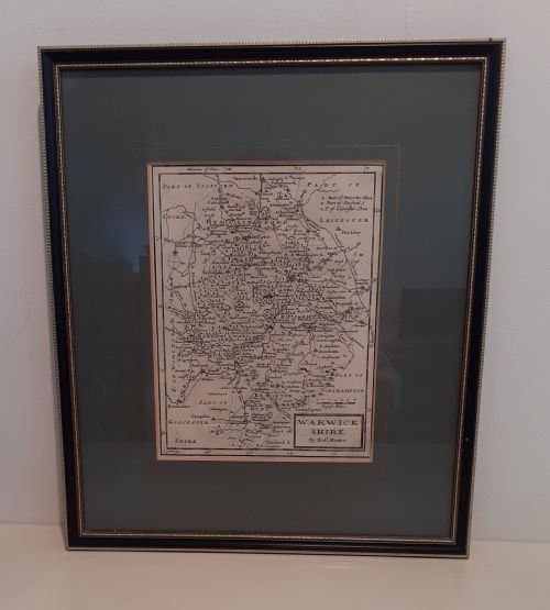
Subjects cover specific British regions including Breconshire, Wiltshire, East Riding, Cheshire, Caernarvon, Stafford, Surrey, Somerset, Warwickshire, Worcestershire, Lancashire, and Cardiganshire.
Distinctions in quality
Differentiation across these works rests on the clarity of the engraved lines, the precision of the contemporary hand colouring where present, and the fidelity of the regional cartography.
The integrity of the framing materials, such as period wood mouldings and the preservation of the original paper sheet, dictates the standing of an individual piece.
Framed Historic County Map Retail Price Guide 2026
Typical asking prices for framed historic county map among the pieces listed under this phrase on Sellingantiques today, from the lower quarter to the upper quarter. They describe what is for sale here now, not the wider market.
Listings feature works spanning the seventeenth century, the Georgian era, and the twentieth century, utilising paper, ink, wood, and glass.
Joan Blaeu·John Speed·William Hole·John Cary·Thomas Kitchin·Janssonius·Robert Morden·J Harrison
The Framed Historic County Map Glossary
- Cartography
- The science or practice of drawing maps. Early examples reflect the evolving geographical knowledge of British counties.
- Atlas engraving
- A method of printing map plates for inclusion in bound volumes of maps. These plates were subsequently separated for individual framing.
- Gilt wood
- Wood coated with a thin layer of gold leaf or gold paint. This finish appears on several frames housing these works.
- Dual sided
- A sheet featuring text or cartographic material on both the front and the reverse. This is found in certain seventeenth-century examples.
Framed Historic County Map: Frequently Asked Questions
How do I know the date of a county map?
Dates are typically derived from publication records, cartographer working periods, and stylistic evidence within the cartouche or margins. Reference works help match specific engraving details to known publication years.
Some sheets bear explicit publication dates or reference historical editions such as Camden's Britannia, while others rely on the active years of the mapmaker.
Why are some maps in Latin?
Many seventeenth-century maps, particularly those produced by continental cartographers, utilised Latin for place names and marginalia. This reflected the international scholarly language of the period.
English cartographers later shifted towards vernacular text, but Latin remained common in atlases intended for European distribution.
How should I hang a framed historic map?
These pieces require protection from direct sunlight to prevent the fading of ink and watercolour pigments on old paper. Stable indoor humidity levels help preserve both the paper sheet and the wooden frame.
Secure wall fixings suited to the weight of the wood and glass frame ensure safe display in a home environment.