







Antique Wall Chart
An antique wall chart brings educational and cartographic history into a room, offering large-scale visual instruction on paper and linen.
Antique Wall Chart
An antique wall chart encompasses large format educational diagrams, genealogical pedigrees, and detailed cartography designed for display. These pieces originate across the seventeenth, eighteenth, nineteenth, and twentieth centuries, reflecting changing methods of visual communication.
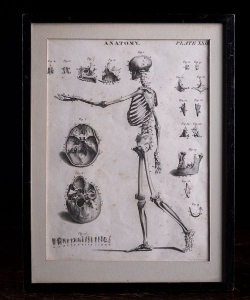
Buyers meet geographical county maps, town plans, and specialised scientific diagrams such as anatomical plates. Works range from early engraved town plans to mid-century sports car posters and biological charts.
The material presentation typically involves paper backed with linen, framed behind glass within wooden mouldings. Many items retain their original mounting or scaling lines used for navigation and study.
Materials and construction
Makers utilised heavy paper, fine linen backings, and wood to provide structural support for large sheets. Copperplate engraving and hand-applied watercolour pigments defined the surface detail on early maps and charts.
Framed pieces incorporate oak framing and glass glazing to protect delicate paper and ink from environmental damage. Gold leaf accents occasionally highlight elite cartographic and genealogical productions.
Listings feature paper, linen, wood, and watercolour across Georgian, Victorian, and mid-twentieth-century periods.
Distinctions in quality
Quality rests in the clarity of the original engraving work and the preservation of the paper substrate. Crisp linework by notable cartographers outranks later impressions or heavily restored examples.
The presence of original hand-colouring and stable linen backing elevates a piece above standard monochrome prints. Complete series, such as matched anatomical plates, retain stronger documentary value than isolated leaves.
Andrew Bell·Thomas Jefferys·Robert Morden·William Hole·W & A K Johnston·Colton·M Phillips·R Creighton·Jas Wyld·C Smith
The Antique Wall Chart Glossary
- Cartography
- The science or practice of drawing maps. This includes town plans, county surveys, and continental atlases.
- Engraving
- A printmaking technique where an artist carves an image onto a metal plate to hold ink. This process allows for fine, precise lines on antique charts.
- Pedigree
- A line of descent or a genealogical chart mapping family lineages. These often span centuries in a single framed display.
- Linen backing
- A conservation or manufacturing method where fabric supports fragile paper. This technique prevents tearing in large rolled or wall-hung documents.
Antique Wall Chart: Frequently Asked Questions
How do I hang a wall chart safely?
Protect the paper and linen from direct sunlight by choosing an interior wall away from strong UV sources. Ensure the hanging hardware securely supports the weight of the wooden frame and glass.
Maintain stable room humidity to prevent the paper substrate from warping or the linen backing from tension damage. Professional framing with conservation-grade materials safeguards the structural integrity of large charts.
What periods do these charts cover?
The available selection spans from the seventeenth century through to the mid-twentieth century. Early examples feature hand-engraved cartography, while later pieces include twentieth-century educational series.
Each period utilises distinct printing and drafting techniques, from copperplate engraving to mid-century poster production. Dating relies on stylistic evidence, cartographic markers, and explicit publication dates within the titles.
How were anatomical charts used?
Educational institutions and medical facilities utilised these large diagrams for classroom instruction and biological study. Series such as anatomical plates displayed skeletons, organs, and vascular systems at a scale visible to a lecture hall.
Their robust construction on paper and linen allowed instructors to roll and transport the teaching aids between rooms. Surviving examples document historical pedagogical methods in science and medicine.
Can I find specific county maps?
Geographical listings frequently include detailed county maps focusing on regions such as Cheshire, Gloucestershire, and Stafford. Cartographers produced these surveys to document local topography, roads, and settlements.
Collectors often seek out maps associated with specific makers like Robert Morden for their distinct regional boundaries. These sheets offer a visual record of historical British geography.