




Antique Cartography Art
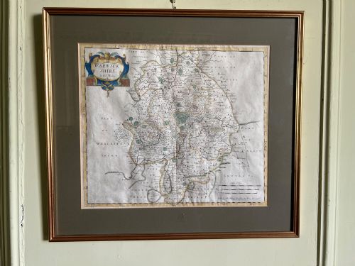
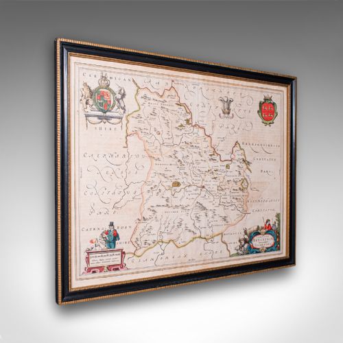
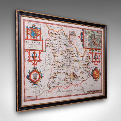
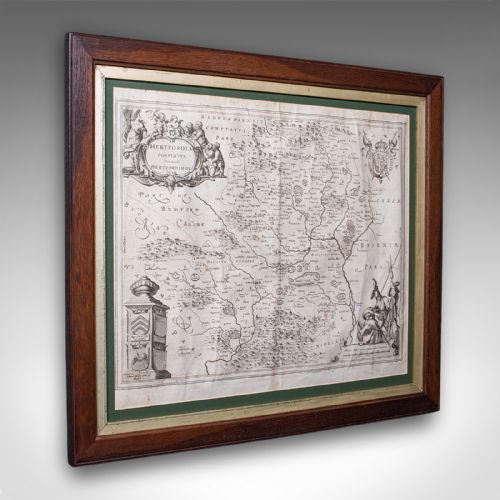
Antique cartography art brings centuries of geography into your rooms through framed maps and atlas engravings rendered on paper with ink and watercolour.
Antique Cartography Art
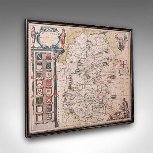
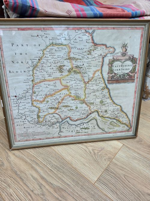
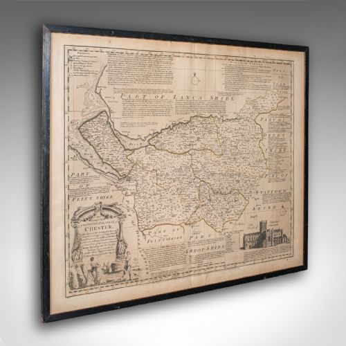
When you search for antique cartography art, you find framed maps and atlas engravings originating from the seventeenth century through to the Victorian era. These pieces include English, Dutch, French, and Italian regional and continental maps produced by notable cartographers.
You are most likely to meet county maps and town plans framed in wood, oak, or gilt wood, often preserved behind glass. The assortment spans local British shires, European regions, and wider continental expanses.
The materials record paper and ink supported by watercolour highlights, framed within period styles that reflect Stuart, Georgian, and Victorian aesthetics. Each piece represents a specific period of cartographic output, from early copperplate engravings to later steel plates.
Materials and Techniques
Framing utilised traditional timbers such as oak and gilt wood, protecting the delicate paper sheets beneath glass. Atlas engravings were frequently trimmed from bound volumes before receiving contemporary or later framing.
Antique Cartography Art Retail Price Guide 2026
Typical asking prices for cartography art among the pieces listed under this phrase on Sellingantiques today, from the lower quarter to the upper quarter. They describe what is for sale here now, not the wider market.
The listings span the seventeenth century through to the Victorian era, utilising paper, ink, watercolour, oak, and gilt wood.
Distinctions in Quality
The clarity of the original engraving and the precision of the hand-applied watercolour define the visual standard of these works. Early printings from well-maintained copperplates retain sharp lines and clear typography.
The quality of preservation, the integrity of the paper substrate, and the appropriateness of the framing materials separate standard examples from finer specimens.
John Speed·Blaeu·Robert Morden·Johannes Janssonius·Emanuel Bowen
The Antique Cartography Art Glossary
- Cartography
- The science or practice of drawing maps. In this context, it refers to engraved and printed geographical plates.
- Copperplate
- A printing plate made from copper, used in the seventeenth and eighteenth centuries to engrave detailed maps. The resulting lines are deep and distinct.
- Atlas
- A bound collection of maps. Many individual sheets were removed from these volumes to be framed.
- Hand-coloured
- Maps finished with watercolour applied by hand after printing. This technique highlights territorial boundaries and cartouches.
Antique Cartography Art: Frequently Asked Questions
How are antique maps dated?
Datings rely on typographical evidence, cartographer active years, and publication records noted in atlases. Printers often included publication dates within the cartouche or margins.
Additional clues emerge from the paper type, language used for place names, and historical boundary changes shown on the plate.
Why do some maps have text on the back?
Dual-sided maps feature descriptive text printed on the reverse side, explaining the geography and history of the depicted region. This was a common publishing method in seventeenth-century atlases.
Binders arranged these sheets so the text complemented the facing map when the volume was bound.
How should framed cartography be displayed?
Framed maps require positioning away from direct sunlight to prevent watercolour fading and paper degradation. Maintaining stable humidity protects the historic paper.
Glazing should ideally be conservation grade to shield the ink and pigments from ultraviolet light over time.