



Vintage Paper Map Globe
These vintage paper map globe pieces are geographic models that bring historical cartography and rich materials directly into a study.
Vintage Paper Map Globe
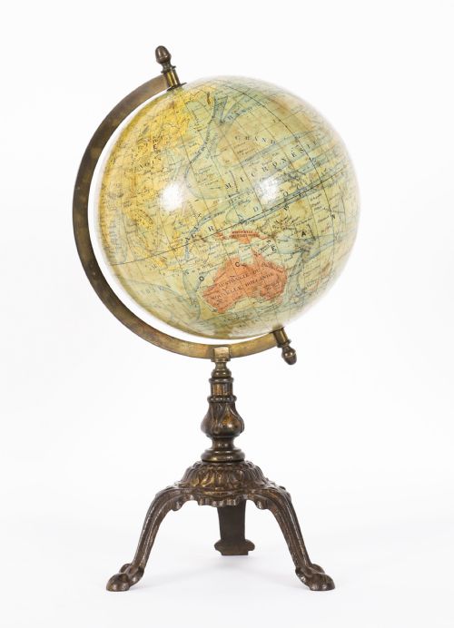
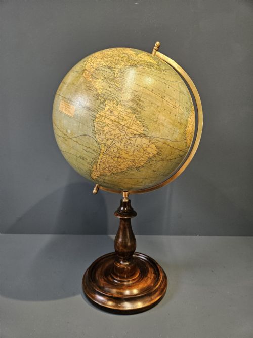
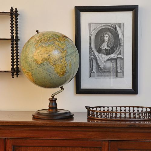
A vintage paper map globe represents the earth through printed paper gores applied over a spherical core, charting geography from the nineteenth century through to the mid-century period.
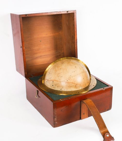
Buyers encountering this selection will frequently find terrestrial and celestial desk globes, alongside miniature portable instruments and larger floor-standing pieces originating from British, French, and German makers.
The assortment spans diverse eras including Victorian, Edwardian, and interwar styles, reflecting changing political borders and cartographic techniques across different decades.
Materials and construction
The spherical bodies are typically constructed from plaster or paper mache, providing a solid foundation for the delicate printed paper gores that depict the landmasses and oceans.
Stands and mountings utilise traditional materials such as brass, cast iron, wood, mahogany, and walnut to support the globe while allowing it to rotate on an axis.
Distinctions in quality
Quality rests upon the clarity and detail of the cartographic printing, alongside the precision with which the paper gores align at the poles.
The material integrity of the underlying sphere and the stability of the supporting metal or wooden base determine the overall durability and visual presence of the piece.
Lebegue and Cie·Geographia·Bacon·Phillips·George Philips and Son Ltd·Hughes and Son·M.Vivien·Carl Adami·Raths
The Vintage Paper Map Globe Glossary
- Gore
- The curved, tapered strips of printed paper that are applied to cover the spherical surface of a globe.
- Terrestrial globe
- A scale model of the Earth showing landmasses, oceans, political boundaries, and shipping routes.
- Celestial globe
- A sphere representing the stars and constellations rather than the surface of the Earth.
- Paper mache
- A composite material made of paper pieces and pulp bound with glue, used to form the lightweight core of the sphere.
Vintage Paper Map Globe: Frequently Asked Questions
How do I date an old globe?
Dating relies primarily on the political boundaries, country names, and shipping routes printed on the paper gores.
Comparing these geographical details with historical maps narrows down the exact decade of manufacture.
Are celestial and terrestrial globes different?
Terrestrial models chart the geography of the Earth, including countries, oceans, and major cities.
Celestial models map the night sky, depicting stars and constellations relative to an imaginary sphere.
Where should I place a desk globe?
These pieces suit placement on studies, desks, or wooden tables where they receive indirect natural light.
Keep them away from direct sunlight to prevent the printed paper and colours from fading over time.
What materials make up the stands?
Supports are constructed from metals like brass and cast iron, or fitted into wooden bases such as mahogany and walnut.
Some portable versions are housed within dedicated cases for protection.