




Victorian Terrestrial Globe
A Victorian terrestrial globe brings the nineteenth-century world into a study, offering brass, mahogany, and printed paper crafted to map an expanding empire.
Victorian Terrestrial Globe
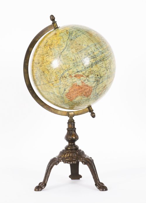
A victorian terrestrial globe is a scientific instrument and decorative object designed to display the earth using hand-applied paper gores over a plaster sphere. Buyers encounter table models, large library globes, and floor standing pieces originating from British and French makers.
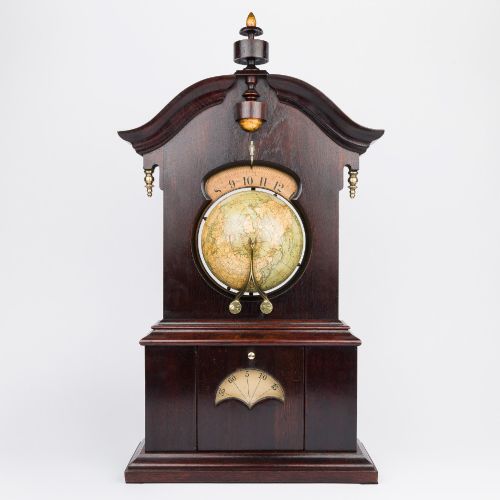
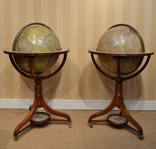
The selection ranges from miniature four-inch classroom items to monumental eighteen-inch library editions supported by wooden stands. Certain variations integrate geographical mapping into domestic lighting through oil lamp shades or travel inkwells.
Most examples date across the nineteenth century, spanning early decades through the Edwardian transition. They sit upon turned mahogany frames, ebonised wood, or cast iron bases depending on their intended domestic or institutional setting.
Judging Quality and Finish
Quality rests upon the clarity and detail of the cartographic engraving printed on the paper gores, alongside the precision of the gores' alignment at the poles. Finer specimens retain their original varnished finish without extensive darkening or paper loss.
The sophistication of the stand dictates the grade of the piece, moving from simple turned wood to elaborate architectural mahogany frames with fitted compasses. Maker attribution also elevates a globe, particularly signed examples from established cartographic houses.
Victorian Terrestrial Globe Retail Price Guide 2026
Typical asking prices for victorian terrestrial globe among the pieces listed under this phrase on Sellingantiques today, from the lower quarter to the upper quarter. They describe what is for sale here now, not the wider market.
Listings feature brass, mahogany, cast iron, and plaster across table globes, floor models, and scientific instruments.
Malby's·Cruchley·W & A. K. Johnston·George Woodward·J. Lebegue & Cie
The Victorian Terrestrial Globe Glossary
- Gore
- A tapering strip of printed paper designed to be pasted onto a sphere so the map lies flat without distortion. Cartographers cut these in series to cover the entire globe.
- Meridian
- A graduated brass or metal ring that encircles the globe, allowing it to spin and showing degrees of latitude. This ring supports the sphere within its wooden stand.
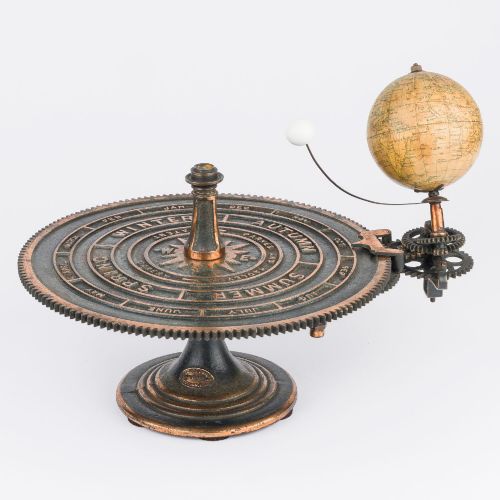
- Orrery
- A mechanical model of the solar system demonstrating the relative positions and motions of planets. These scientific instruments sometimes accompany geographical globes from the period.
- Plaster
- The primary material used to form the core sphere before paper application. Plaster gave the globes their solid weight and durable round shape.
Victorian Terrestrial Globe: Frequently Asked Questions
How do I read a globe date?
Makers engraved publication dates directly onto the cartographic gores or the horizon ring. These dates often reflect the latest geographical discoveries rather than the exact year of manufacture.
Cartographers updated their printing plates periodically while retaining older base gores, so comparing the political boundaries shown helps confirm the production era.
Where should I place my globe?
Library globes suit studies, libraries, and hallways where they can stand independently on mahogany floor frames. Smaller table globes fit securely on desks, side tables, or bookshelves.
Keep them away from direct sunlight and excessive heat sources to protect the delicate printed paper and underlying plaster from cracking or fading.
How do I clean a globe?
Dust the sphere gently using a dry, soft cloth or a clean feather duster. Avoid using water, chemical cleaners, or damp cloths, as moisture damages the historic paper and dissolves old varnish.
Handle the brass meridians carefully, using appropriate metal polish only if necessary and ensuring it does not touch the surrounding paper map.
Why do some globes have brass rings?
The brass ring serves as the meridian, holding the globe at the correct twenty-three-and-a-half-degree tilt of the earth's axis. It allows the sphere to rotate smoothly during geographical demonstrations.
Graduations marked along this brass ring helped users measure latitude and calculate navigational distances during the nineteenth century.