



Vintage Map
A vintage map brings centuries of cartography into a room, offering framed county engravings, global globes and detailed road routes.
Vintage Map
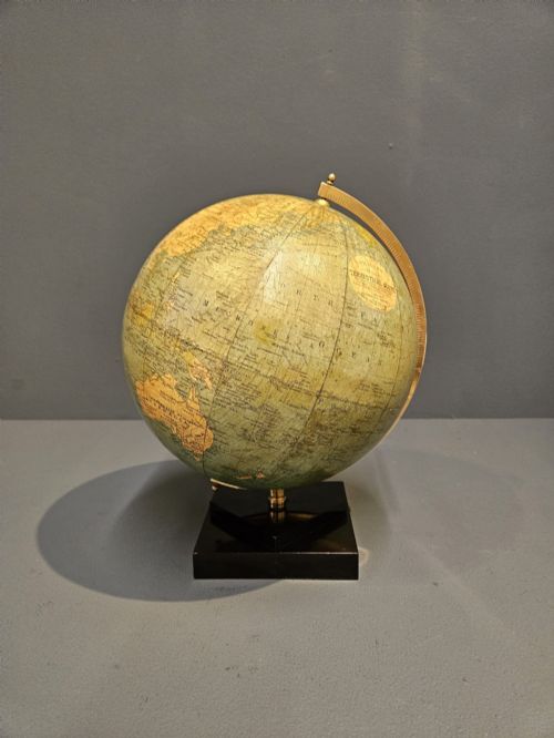
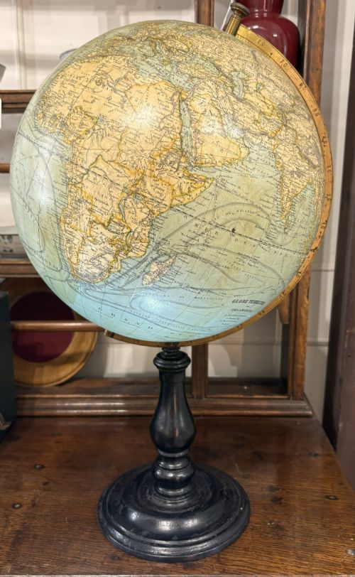
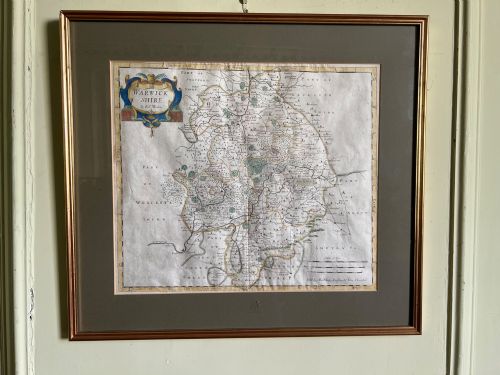
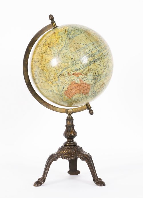
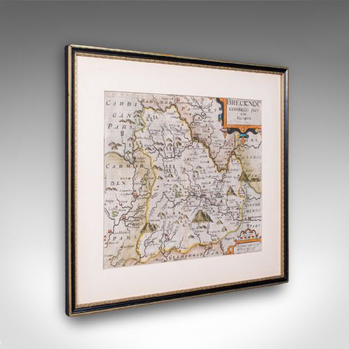
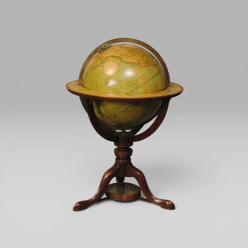
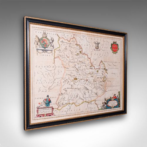
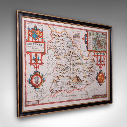
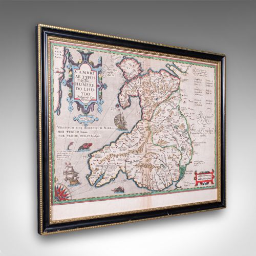
A vintage map search encompasses framed atlas excerpts, county cartography and road itineraries spanning from the seventeenth century through to the mid-twentieth century. Buyers frequently encounter engraved sheets by noted cartographers alongside terrestrial globes mounted on timber feet.
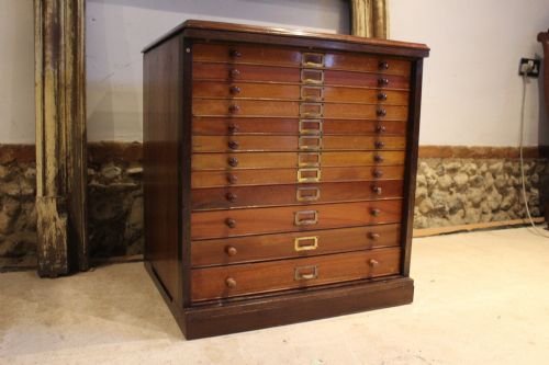
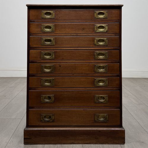
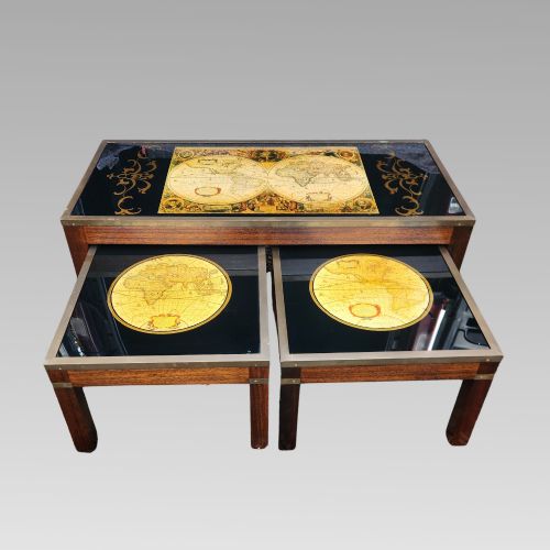
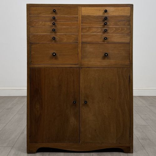
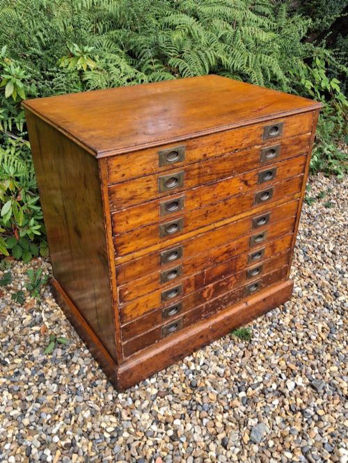
The material record includes paper maps set behind glass within timber frames, plaster globes, and larger storage furniture designed for cartographic storage such as mahogany plan chests and oak cabinets.
Materials and technique
Paper cartography relies upon early copperplate engraving techniques, producing fine line work that is occasionally hand-coloured with watercolours. Globes utilise papier-mâché or plaster spheres covered with printed gores.
Storage pieces combine hardwoods such as mahogany and oak with brass handles, while frames utilise glass protection over delicate paper surfaces.
Vintage Map Retail Price Guide 2026
Typical asking prices for vintage map among the pieces listed under this phrase on Sellingantiques today, from the lower quarter to the upper quarter. They describe what is for sale here now, not the wider market.
Early cartographers filled unexplored terrestrial regions with elaborate sea monsters and mythical beasts to charm the viewer.
Judging quality
Quality rests upon the clarity of the engraving, the preservation of the paper surface against foxing, and the original crispness of any hand-applied colouring. Strong impressions show distinct plate marks and legible Latin or English text.
For globes and storage furniture, the integrity of the original stand, whether walnut, brass or mahogany, and the survival of the manufacturer details determine the standing of the piece.
Joan Blaeu·John Speed·Cary·George Philips and Son Ltd·Hughes and Son
The Vintage Map Glossary
- Cartography
- The science and art of making maps. This encompasses both regional county surveys and global projections.
- Gores
- The paper strips applied to spherical globes. These printed segments map the surface of the earth onto a sphere.
- Plate mark
- The indentation left on paper by the edge of a printing plate. It confirms the use of copperplate engraving.
- Plan chest
- A large piece of furniture with shallow drawers. These cabinets were built to store large sheets of flat paper.
Vintage Map: Frequently Asked Questions
How do I date an early map?
Dating relies upon the cartographer's imprint, the spelling of place names, and accompanying Latin or English descriptive text on the reverse.
Paper characteristics and watermark evidence further narrow down the decade of production.
Are framed maps usually original?
Many examples originate as loose atlas leaves or county surveys published centuries ago, later placed within protective glass frames.
Examining the paper edges and printing ink helps confirm authenticity.
How were terrestrial globes used?
Terrestrial globes served as educational instruments and desk accessories in libraries, studies, and drawing rooms.
They allowed users to trace trade routes and visualise global geography.
How do I care for antique paper?
Protect paper cartography from direct sunlight to prevent fading of the ink and any original watercolour tints.
Keep pieces in stable humidity conditions away from damp environments.