




Vintage Cartographic Print
A vintage cartographic print offers a window into past landscapes, capturing historical geography through detailed regional layouts and decorative borders.
Vintage Cartographic Print
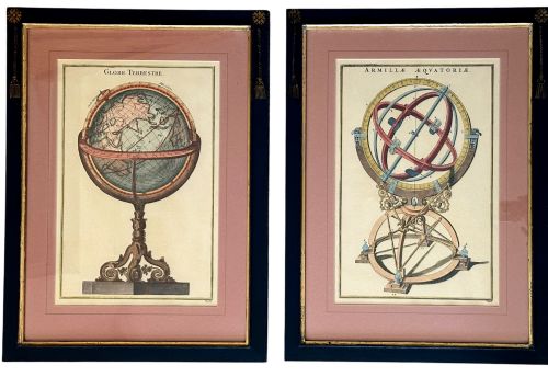
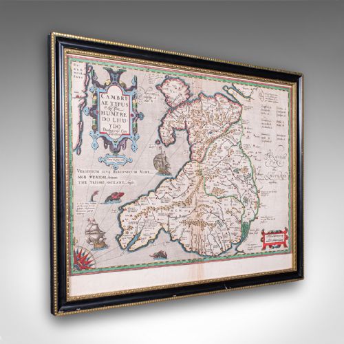
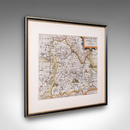
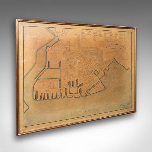
A vintage cartographic print provides a visual record of historical geography, taking the form of wall art, framed maps, and atlas excerpts. These works span multiple eras, including sixteenth-century origins through to Victorian publications, offering detailed views of regions, towns, and entire countries.
Buyers encounter various formats on this page, ranging from Welsh and English county maps to broader international regions like North America and the Caribbean. The selection includes town plans, coaching road maps, and dual-sided leaves derived from historical atlases and regional surveys.
Materials and Techniques
Paper serves as the primary substrate for these works, carrying printing ink applied through historical engraving and press methods. Many examples incorporate hand-coloured details added after the initial impression to enhance regional boundaries and decorative cartouches.
Framing materials such as wood, oak, burr wood, and gilt wood house the paper sheets, often behind protective glass. Some frames utilise gold leaf highlights to complement the visual weight of the historical documents.
Vintage Cartographic Print Retail Price Guide 2026
Typical asking prices for vintage cartographic print among the pieces listed under this phrase on Sellingantiques today, from the lower quarter to the upper quarter. They describe what is for sale here now, not the wider market.
Listings feature works spanning from the sixteenth century through the Victorian period, utilising paper, ink, wood, and glass.
Assessing Quality and Execution
Quality in these works rests upon the clarity of the printed line and the precision of the geographical engraving. Finer examples retain crisp typography and clean cartographic details without blurring or heavy fading across the sheet.
The sophistication of the presentation also influences the piece, noting the execution of hand-colouring and the quality of the surrounding wooden or gilt framing. Well-preserved paper integrity without excessive loss adds to the standing of the work.
Humphrey Llwyd·Joan Blaeu·Robert Morden·Thomas Kitchin·Emanuel Bowen
The Vintage Cartographic Print Glossary
- Cartography
- The study and practice of making maps. This discipline combines scientific measurement with artistic illustration.
- Atlas Excerpt
- A single page removed from a bound collection of maps. These leaves often retain plate margins and descriptive text on the reverse.
- Cartouche
- A decorative frame enclosing the map's title, scale, or publisher details. They frequently feature heraldic, botanical, or allegorical motifs.
- Town Plan
- A detailed cartographic representation of an urban area. These plans highlight streets, fortifications, and prominent public buildings.
Vintage Cartographic Print: Frequently Asked Questions
How should I hang a vintage map?
Position the piece at eye level away from direct sunlight to protect the paper and ink from fading over time. Ensure the wall environment maintains stable humidity levels to preserve both the frame and the paper.
Secure the frame using appropriate fixings suited to your wall type, ensuring the weight rests safely on stable anchors.
Are these maps original historical prints?
The selection comprises period items originating from the dates specified in the individual descriptions, rather than modern reproductions. Each piece reflects the printing technology and geographical knowledge of its specific era.
Examining the paper stock and plate marks helps confirm the period execution of the printed lines.
How do I identify the age of a map?
Look to the cartographic style, typeface, spelling of place names, and any explicit dates or publisher credits included within the plate. Stylistic clues in the decorative borders also point toward specific centuries.
Comparing the regional boundaries shown to historical records narrows down the decade of publication.