



Historical Map
When you search for a historical map, you are looking at printed cartography on paper spanning centuries, prized for detailed topography and decorative cartouches.
Historical Map
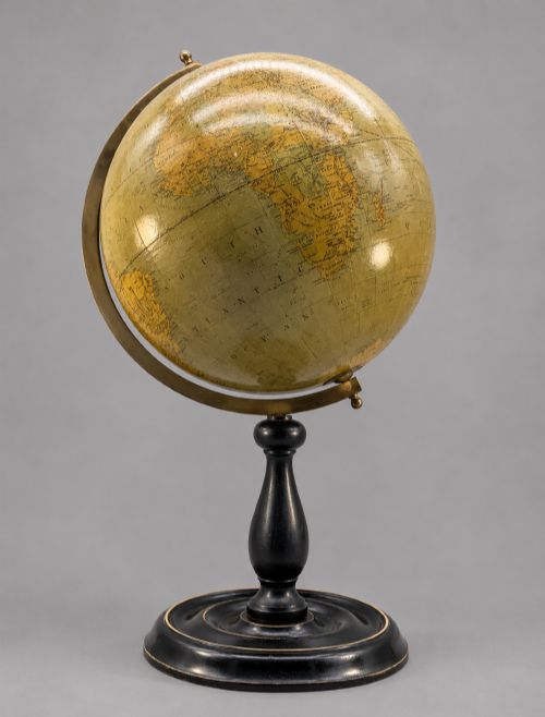
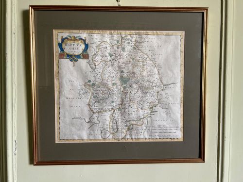
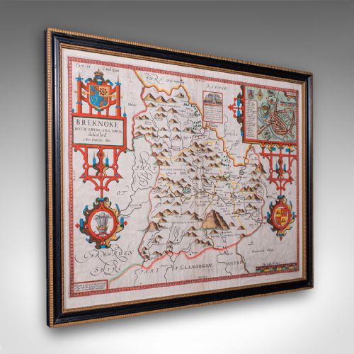
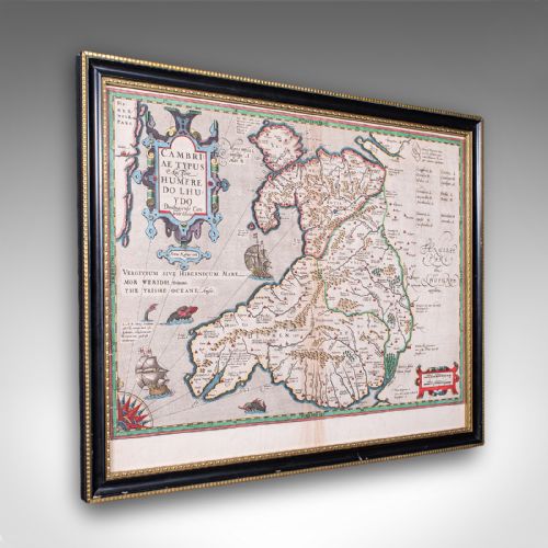
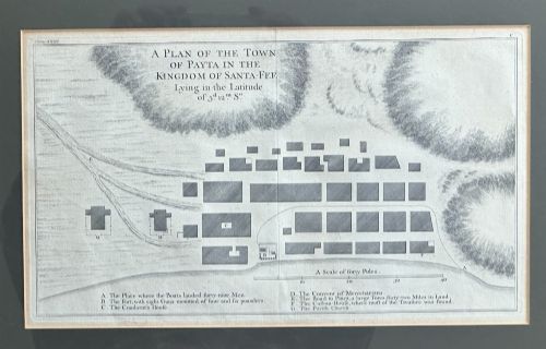
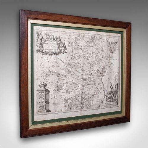
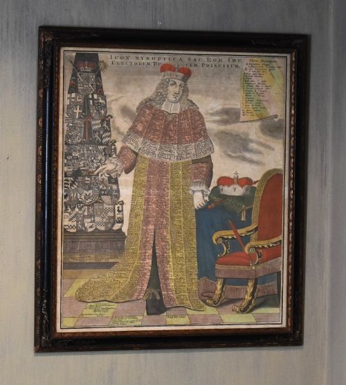
A historical map on this page typically appears as a framed sheet of paper showing county cartography, regional topography, or world views. These pieces originate from various eras, stretching from pre-sixteenth century works through Elizabethan, Stuart, and Georgian periods up to the Victorian age.
The most common examples you meet are seventeenth-century English county maps and eighteenth-century regional charts. Makers such as Robert Morden, John Speed, and Emanuel Bowen feature heavily, presenting engraved topography framed in wood and glass.
Beyond domestic counties, the selection encompasses continental regions, colonies, and global voyages. These range from Dutch atlas excerpts to French depictions of Ireland and Scotland, alongside prints related to world explorations.
Materials and Techniques
These works rely on ink pressed onto paper surfaces, frequently enhanced with hand watercolour application. Early printing methods involved copperplate engravings or woodcuts, producing fine lines that define rivers, towns, and boundaries.
Framing materials incorporate wood, gilt wood, and gold leaf accents behind glass protection. The physical construction combines the delicate paper substrate with robust historical frames designed to preserve the fragile printed sheet.
Historical Map Retail Price Guide 2026
Typical asking prices for historical map among the pieces listed under this phrase on Sellingantiques today, from the lower quarter to the upper quarter. They describe what is for sale here now, not the wider market.
Listings feature paper maps printed with ink and watercolour, spanning the sixteenth century to the Victorian era.
Quality and Execution
Quality rests in the crispness of the original impression and the precision of the engraving. Plates that saw extensive printing runs can yield softer lines, whereas early strikes capture sharp details in text and cartouche artwork.
Colour application creates another distinction between standard monochrome prints and those with skilled contemporary or later watercolour tinting. The condition of the paper surface, margins, and the authenticity of the associated period frame also influence the overall character of the piece.
Robert Morden·John Speed·Blaeu·Johannes Janssonius·Eman Bowen
The Historical Map Glossary
- Cartography
- The science or practice of drawing maps. This encompasses both regional surveys and decorative world overviews.
- Cartouche
- A decorative frame enclosing the map title, scale, or publisher details. These ornate designs often feature heraldry, figures, or local flora.
- Atlas
- A bound collection of maps. Many single sheets available today originate from disassembled historical atlas volumes.
- Copperplate engraving
- A intaglio printmaking technique where lines are cut into a copper sheet with a burin. Ink is held in the grooves and transferred under pressure to paper.
Historical Map: Frequently Asked Questions
How do I identify a seventeenth century map?
Examine the paper quality, typography style, and cartographic boundaries. Seventeenth-century maps often feature distinct Latin or early English text on the reverse side.
Check for plate marks left by the engraved copper plate under pressure. The spelling of place names and the style of decorative strapwork offer further chronological clues.
Why are some maps coloured?
Many maps were issued in black and white and later embellished with watercolour by hand. This hand-tinting could happen at the time of publication or in subsequent centuries to enhance visual appeal.
Original contemporary pigment application differs in chemistry from later additions. Connoisseurs examine the palette and integration of the pigment with the paper fibres to understand the timeline of the colour.
Were these maps meant for travel?
Most historical maps served as decorative wall art, reference items for landowners, or educational plates within bound atlases rather than practical travel aids.
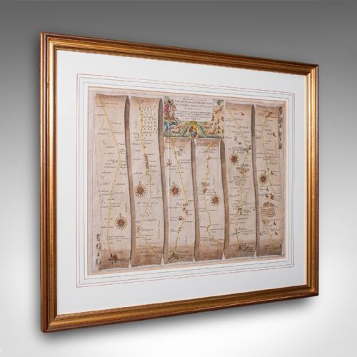
Coaching maps and road strip itineraries functioned more directly for routing journeys, whereas county and world maps displayed geography and political boundaries for libraries and studies.
How should I care for framed paper?
Protect framed paper maps from direct sunlight to prevent the ink and watercolour pigments from fading. Keep them away from high humidity areas to avoid paper degradation and mould growth.
Ensure the framing utilises acid-free backing materials to protect the delicate paper substrate over decades of display. Professional conservation framing preserves the structural integrity of the antique sheet.