






Historic English Map
A historic english map brings centuries of cartography and regional heritage directly into a room.
Historic English Map
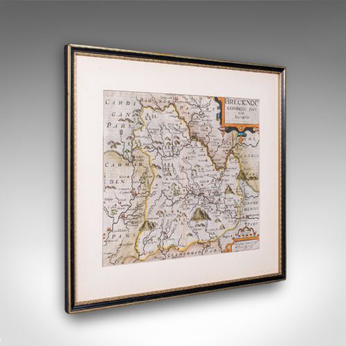
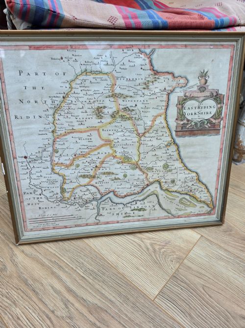
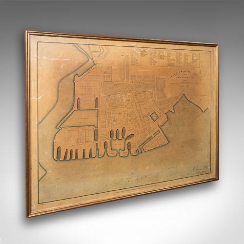
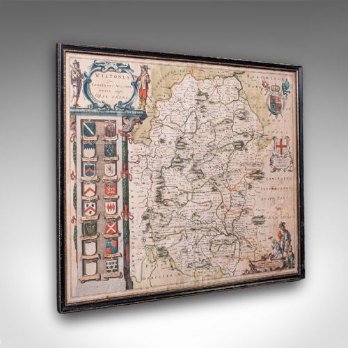
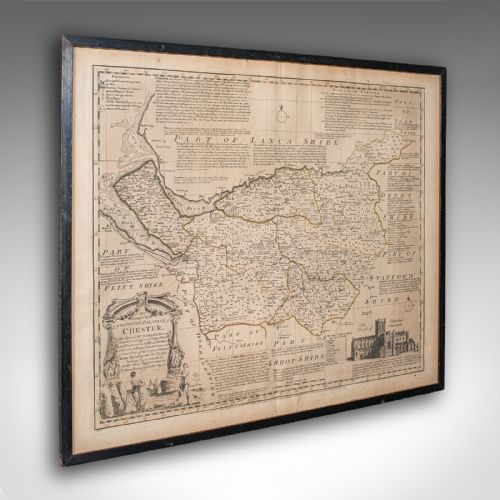
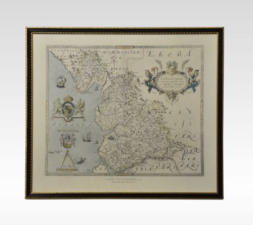
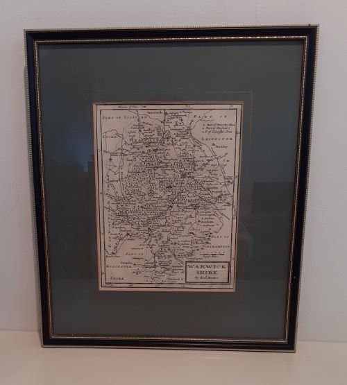
A historic english map captures counties, towns, and ports across England, rendered through centuries of cartographic tradition. Buyers searching this phrase encounter framed cartography, atlas engravings, and town plans that trace the geography of past centuries.
The selection on this page most frequently presents framed maps from the seventeenth century and the Georgian era. These pieces document regions such as Wiltshire, Somerset, and Warwickshire with detailed topographical and decorative elements.
Originating from periods spanning the seventeenth century through to the twentieth century, these works combine historical utility with decorative wall art. Each piece reflects the surveying methods and artistic embellishments of its respective publishing date.
How they were made
Makers produced these works using ink on paper, often incorporating hand-applied watercolour to define county boundaries and decorative cartouches. Engravers pressed copper plates onto paper to transfer intricate lines and lettering.
Framing typically involves wood, gilt wood, and glass to protect the delicate paper from environmental damage. Gold leaf accents sometimes highlight the wooden frames that house these antique sheets.
Historic English Map Retail Price Guide 2026
Typical asking prices for historic english map among the pieces listed under this phrase on Sellingantiques today, from the lower quarter to the upper quarter. They describe what is for sale here now, not the wider market.
Periods represented span from the seventeenth century through the Georgian and Victorian eras to nineteen ten.
What varies in quality
The clarity of the ink impression and the precision of the hand colouring separate standard prints from superior examples. Sharpness in the engraved text and clean preservation of the paper stock dictate the visual standard.
The quality of the framing materials, from simple wood to gilt wood and gold leaf surrounds, influences the overall presentation. Intact framing protects the paper sheet and maintains the historic integrity of the object.
John Speed·Joan Blaeu·Jan Blaeu·Thomas Kitchin·Robert Morden·John Cary·J Harrison
The Historic English Map Glossary
- Cartography
- The science or practice of drawing maps. This discipline forms the core of every framed map and town plan.
- Atlas engraving
- A map plate originally produced for inclusion in a bound collection of maps. These engravings show precise geographical data.
- Town plan
- A detailed drawing or map focusing on an urban area or port rather than an entire county. Portsmouth Dockyard appears in this format.
- Cartouche
- A decorative frame enclosing the title, scale, or publisher details on a map. These elements often feature heraldic or allegorical designs.
Historic English Map: Frequently Asked Questions
How old are these maps?
The pieces span from the seventeenth century through the Georgian and Victorian eras up to nineteen ten. Each map reflects the surveying standards of its specific production period.
Dates range across several centuries, offering examples from seventeen-forty-five to the early twentieth century.
Are these maps framed?
Many examples arrive ready for display in wood or gilt wood frames with protective glass. Framing safeguards the antique paper from handling wear.
Check individual listings to confirm whether a piece includes its frame.
How should I hang a map?
Keep framed paper maps away from direct sunlight to prevent the ink and watercolour from fading. Stable indoor humidity protects both the paper and the wooden frame.
Use secure picture hooks appropriate for the weight of the framed cartography.