







Georgian Copperplate Engraving Map
A georgian copperplate engraving map brings eighteenth-century cartography onto the wall, showing hand-inked regional detail framed behind glass.
Georgian Copperplate Engraving Map
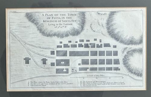
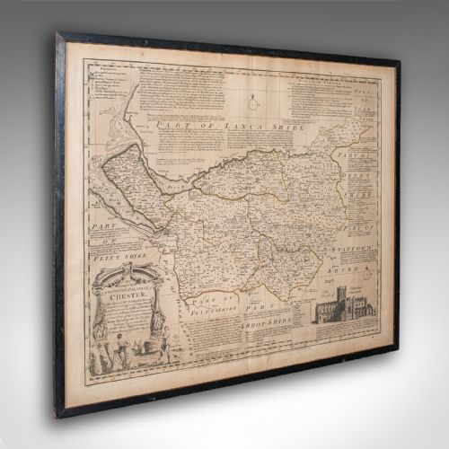
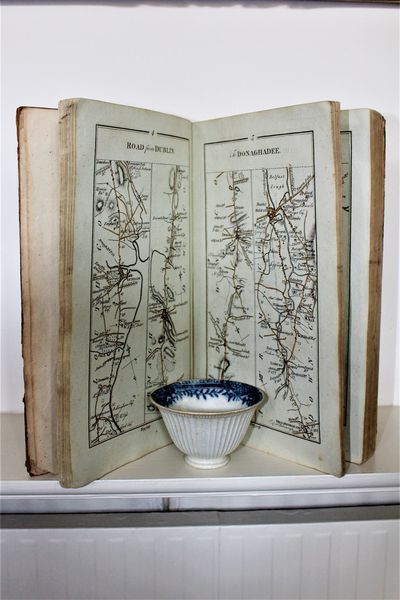
A georgian copperplate engraving map captures British and European geography from the eighteenth century, produced as single sheet cartography, book plates or atlas pages. These printed works chart counties, countries and global voyages, often preserved within period timber frames.
The versions most often met on this page are framed English and French maps from the seventeen-fifties onwards, featuring decorative cartouches and territorial boundaries. They combine geographical record with domestic wall art, surviving in wood and gilt frames behind glass.
How they were made
Cartographers transferred geographical drawings onto copper plates using sharp burins, cutting lines into the metal before applying dark ink for the press. Paper sheets received this impression under heavy pressure, capturing minute topographical lettering and boundary lines.
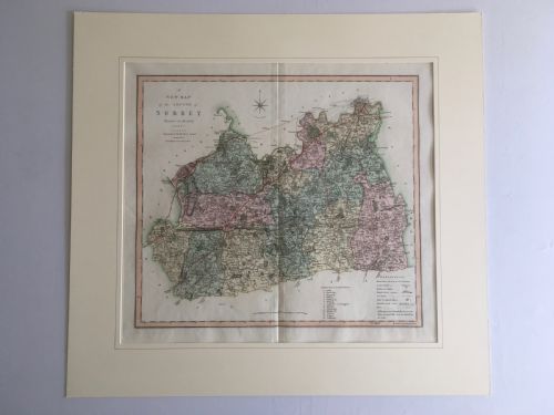
Finishing involved hand watercolour tinting across counties and decorative cartouches, followed by mounting into timber frames using glass for surface protection. Frames utilise materials such as burr wood, plain wood or gold leaf gilding to edge the paper work.
Georgian Copperplate Engraving Map Retail Price Guide 2026
Typical asking prices for georgian copperplate engraving map among the pieces listed under this phrase on Sellingantiques today, from the lower quarter to the upper quarter. They describe what is for sale here now, not the wider market.
Listings on this page span the eighteenth and nineteenth centuries, featuring works on paper framed in glass, wood and gilt.
What varies in quality
The sharpness of the original copperplate impression dictates the clarity of the geographical text and border engraving, with worn plates yielding softer lines. Stronger printing impressions preserve fine topographical detail across every county road and settlement name.
The preservation of the paper support and the clarity of any applied watercolour wash influence the overall visual balance of the framed work. Original framing materials and early glass also contribute to the historical integrity of the piece.
The Georgian Copperplate Engraving Map Glossary
- Copperplate
- A printing matrix formed from a flat sheet of copper into which map details are incised by hand using a burin. This technique allows for exceptionally fine geographical lines and lettering.
- Cartouche
- A decorative frame or panel on a map enclosing the title, scale bar, or cartographer attribution. These artistic elements often feature heraldry, flora or local scenes.
- Cartography
- The study and practice of making maps, combining scientific measurement with artistic engraving. Eighteenth-century examples reflect contemporary political boundaries and geographical knowledge.
- Gilt Wood
- Timber framing finished with a thin layer of gold leaf applied over a prepared gesso base. This treatment provides a reflective metallic border around the framed paper.
Georgian Copperplate Engraving Map: Frequently Asked Questions
How are these maps dated?
Dating relies on internal cartographic evidence, including published book dates, cartographer working periods, and territorial names marked on the plate. Many pieces state the year of survey or publication directly within the cartouche.
Additional clues come from framing methods, paper types, and hand-applied watercolours characteristic of the eighteenth century. Comparing the place names to known historical maps confirms the era of production.
Where were these maps displayed?
Georgian maps served both practical reference functions in libraries and decorative roles in formal rooms. Landowners displayed county maps to denote estate holdings and regional connections.
By the nineteenth century, many surviving sheets found new life inside domestic frames as wall art. They brought geographical knowledge and refined interior decoration together in the home.
How do I care for framed maps?
Protect engraved paper maps from direct sunlight to prevent fading of both the dark printing ink and any hand-applied watercolour washes. Stable indoor humidity prevents the paper support from cockling or developing foxing spots inside the frame.
Keep glass clean using non-liquid methods near the wooden edges to avoid moisture seeping into the historic paper. Ensure the backing boards remain secure to keep dust and insects away from the print.
Are these maps hand-coloured?
Many eighteenth-century maps received delicate washes of watercolour by hand after the printing process was complete. This pigment added definition to county borders, coastlines, and decorative title cartouches.
Some examples remain in uncoloured monochrome, showing only the black ink impression from the copperplate. Both coloured and plain versions reflect period publishing practices.