


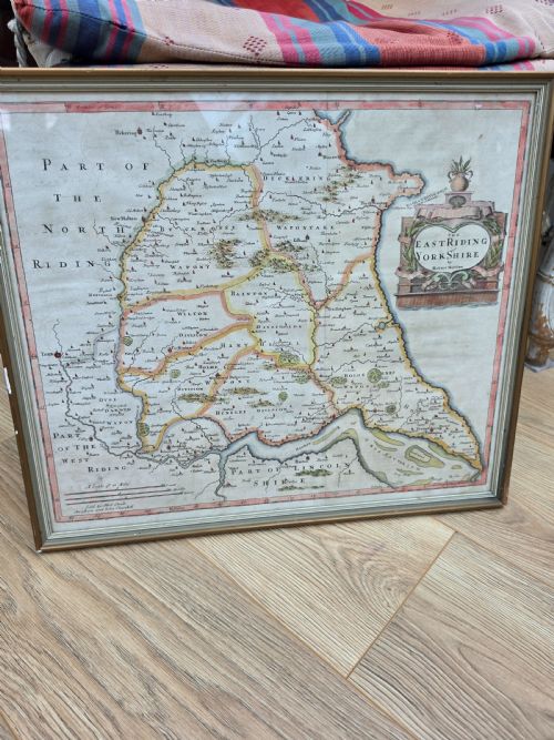


Framed Map Art
Framed antique map art brings centuries of cartography, delicate engraving and needlework geography into domestic spaces.
Framed Map Art
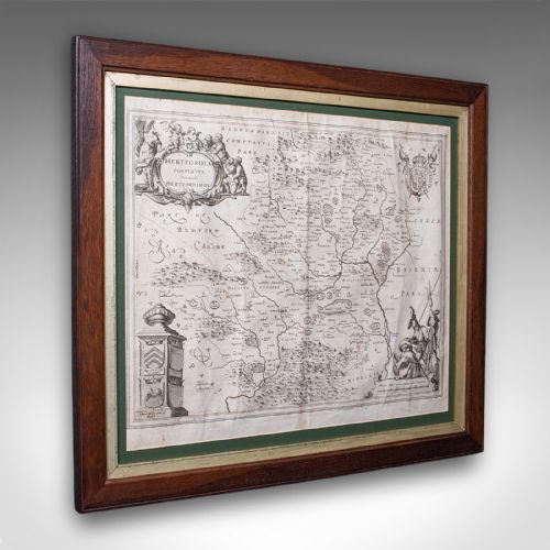
When you search for framed antique map art, you encounter centuries of cartography preserved behind glass in wood frames, often with hand-coloured details.
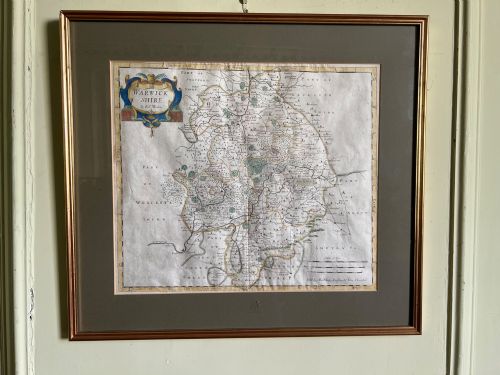
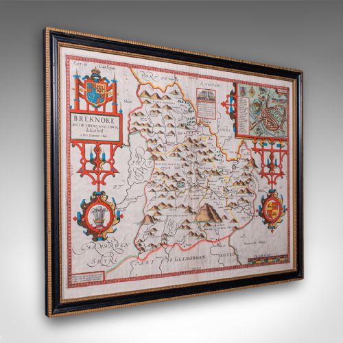
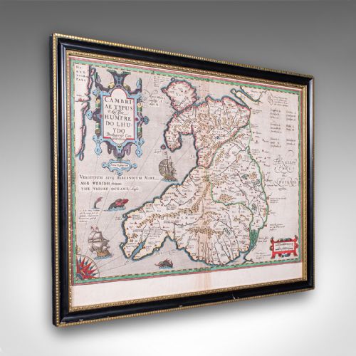
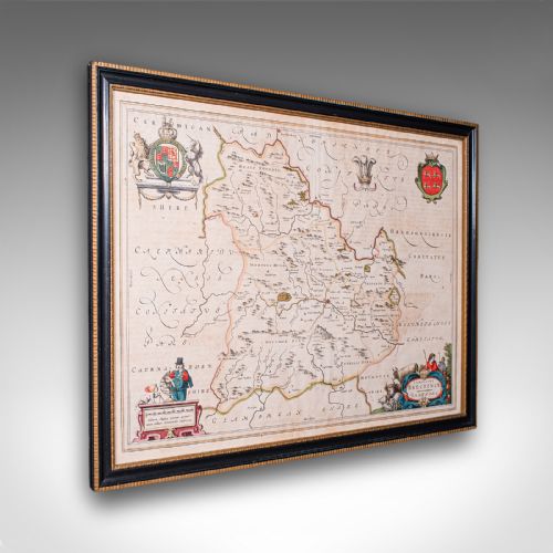
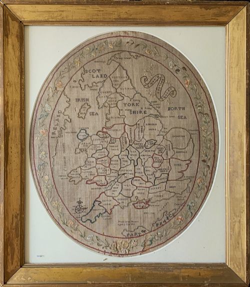
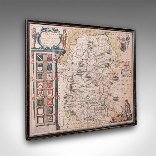
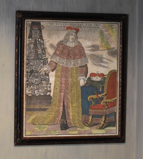
The selections span county maps from English cartographers, continental atlas engravings from Dutch publishers and embroidered needlework samplers charting England and Wales.
The most common pieces on this page are seventeenth-century county plates by makers like Robert Morden and John Speed, alongside eighteenth-century French and English atlas prints.
How they were made
Cartographic works rely on copperplate engraving upon laid paper, sometimes enhanced with watercolour washes applied by hand.
Needlework examples utilise silk and wool threads stitched onto linen grounds to form geographical samplers under the guidance of young pupils.
The framing utilises wood mouldings and protective glass sheets to preserve fragile paper and textiles from atmospheric degradation.
Framed Map Art Retail Price Guide 2026
Typical asking prices for framed map art among the pieces listed under this phrase on Sellingantiques today, from the lower quarter to the upper quarter. They describe what is for sale here now, not the wider market.
The listings feature paper, silk, linen, gilt wood and glass across Georgian, Victorian and seventeenth-century periods.
What varies in quality
Quality rests upon the clarity of the original impression from the copperplate and the precision of any contemporary hand-colouring.
The survival of generous paper margins around the printed plate mark distinguishes superior cartographic sheets from trimmed examples.
For needlework maps, the tightness of the stitch work and the legibility of the stitched lettering determine the visual strength of the piece.
Blaeu·John Speed·Braun And Hogenberg·Johannes Janssonius·Robert Morden·Thomas Kitchin·Claes Jansz Visscher·Eman Bowen
The Framed Map Art Glossary
- Cartography
- The science or practice of drawing maps. This encompasses both printed atlas pages and hand-stitched geographical lessons.
- Plate mark
- The indentation left on paper by the edge of a copper printing plate during the press run. This confirms the use of traditional intaglio printing techniques.
- Sampler
- A piece of embroidery produced as a demonstration or test of skill, frequently featuring alphabets, numbers or maps executed by young makers.
- Cartouche
- A decorative frame enclosing the map title, scale or dedication, often rendered with heraldic or allegorical ornamentation.
- Intaglio
- A printing process where the ink is held within incised lines cut into a metal plate rather than sitting on the surface.
Framed Map Art: Frequently Asked Questions
How do I date an old map?
Dating relies upon internal cartographic evidence, such as place names, publisher imprints and royal dedications printed directly onto the sheet. Stylistic clues in the surrounding decorative cartouche also help narrow down the decade of production.
Comparison with known editions published in historical atlases provides further verification of the printing date.
Are these maps original or reproductions?
The pieces listed here are period originals produced during the seventeenth, eighteenth and nineteenth centuries rather than modern facsimile copies. Close examination under magnification reveals genuine plate marks and the characteristic texture of aged paper or linen.
Printers of earlier centuries used copperplate engraving and woodcut methods that leave distinct impressions absent in modern digital printing.
How should I hang framed maps?
Framed maps require positioning away from direct sunlight and damp environments to prevent fading of the ink and watercolour pigments. Stable indoor humidity protects both the paper fibres and the wooden framing elements.
Using picture hooks suited to the weight of the frame ensures secure attachment to the wall surface.
What is a needlework map?
A needlework map is an educational sampler where a young pupil stitched geographical outlines, counties and place names onto fabric using coloured threads. These works combined domestic handicraft with instruction in geography during the Georgian era.
They represent a distinct category of textile art separate from standard printed atlas engravings.