







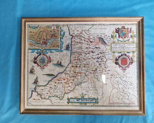
Framed 17th Century Map
These framed 17th century map pieces bring early cartography into interiors, offering hand-coloured engravings and county views preserved beneath glass in timber frames.
Framed 17th Century Map
The pieces on this page appear within period frames made of oak, gilt wood, and gold leaf. Most examples combine black ink impressions on paper with later watercolour or contemporary hand-colouring, mounted for wall display.
What varies in quality
The clarity of the copperplate impression and the vibrancy of the hand-colouring dictate the visual strength of each sheet. Finer examples retain crisp typography and clean paper grounds without excessive toning.
The framing material contributes significantly to the overall presentation, with period gilt wood and moulded oak housings offering greater historical harmony than later replacements.
Early cartographers filled unfamiliar territories with charming sea monsters and elaborate armorial banners just to keep things interesting.
John Speed·Jan Blaeu·Johannes Janssonius·Robert Morden·Christopher Saxton·John Ogilby
The Framed 17th Century Map Glossary
- Cartography
- The science or practice of drawing maps. In these works, it encompasses historical surveys of counties and countries.
- Atlas
- A bound collection of maps, which provided the original source for many individual sheets preserved in frames today.
- Engraving
- A printmaking technique where an image is incised into a copper plate, holding ink for transfer to paper under pressure.
- Cartouche
- An ornamental frame enclosing the map's title, scale, or dedication, frequently decorated with allegorical figures or coats of arms.
Framed 17th Century Map: Frequently Asked Questions
How do I hang a framed 17th century map?
Position the piece away from direct sunlight to prevent the watercolour pigments and paper from fading over time. Secure the frame using appropriate wall fixings that match the weight of the timber and glass.
Maintain stable room humidity to protect the antique paper and wooden moulding from warping or brittle degradation.
Are these maps original period prints?
The selections derive from the periods indicated, utilising copperplate engraving techniques standard to seventeenth-century publishing houses. Each sheet reflects the cartographic knowledge and printing technology of its specific publication date.
Plates were frequently reissued or printed decades after initial compilation, maintaining historical production methods.
What materials make up the frames?
Housing materials include oak, gilt wood, and gold leaf, paired with protective glass to shield the fragile paper surfaces. These frames vary from period mouldings to later interpretations designed to complement the artwork.
Backings and mounts also incorporate traditional materials suited to historic conservation standards.
Can I read text on both sides?
Certain examples are double-sided, featuring descriptive text or additional cartography printed on the reverse of the sheet. Framing often accommodates only the primary face unless specifically constructed to allow viewing of both sides.
Catalogues typically note when a map retains text on the back.