





Engraved County Map Print
An engraved county map print records the topography and settlements of Britain across centuries, offering both historical detail and decorative wall art.
Engraved County Map Print
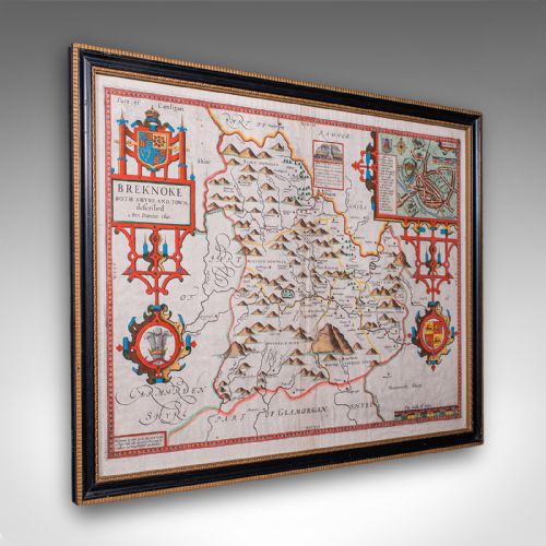
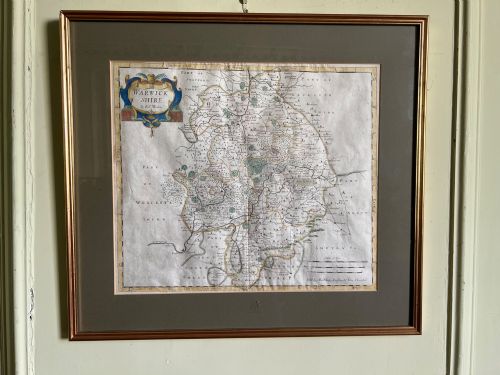
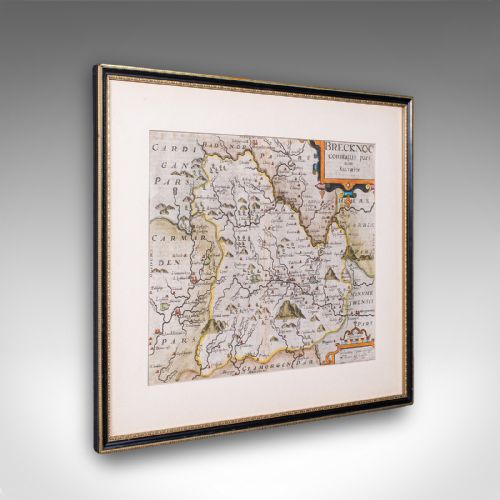
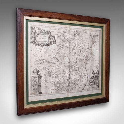
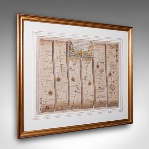
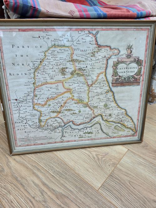
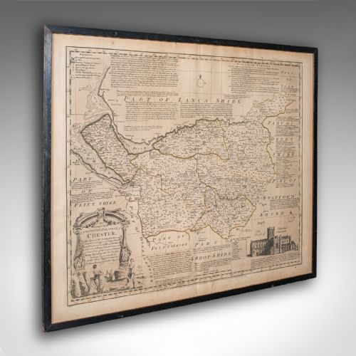
Buyers encounter different cartographic traditions, ranging from Dutch atlas plates produced by Blaeu and Janssonius to English publications by makers like Robert Morden, John Speed and Emanuel Bowen. Many examples arrive framed under glass, often complemented by wood or gilt wood surrounds. The formats range from coaching maps to detailed regional surveys.
How they were made
Makers produced these works by carving lines and text onto copper printing plates, which were then inked and pressed onto paper. Workshops sometimes applied watercolour by hand to accentuate boundaries, regional divisions and cartouches.
Framed examples utilise traditional materials such as oak and glass to protect the paper sheets. Some items incorporate gold leaf detailing within their frames to complement the historical nature of the engravings.
Engraved County Map Print Retail Price Guide 2026
Typical asking prices for engraved county map print among the pieces listed under this phrase on Sellingantiques today, from the lower quarter to the upper quarter. They describe what is for sale here now, not the wider market.
Early cartographers filled empty sea spaces with magnificent sailing ships and sea monsters, ensuring travellers were suitably impressed before leaving the county.
What varies in quality
The clarity of the plate impression and the crispness of the engraved lines distinguish finer examples from worn printings. Early impressions taken when the copper plate was fresh display sharper details in the typography and cartographic ornamentation.
The application of hand-colouring alters the visual weight of a piece, with careful washes adding depth without obscuring the underlying geography. Additionally, the condition of the paper and the suitability of the period framing contribute to the overall presentation.
John Speed·Joan Blaeu·Robert Morden·Janssonius·Emanuel Bowen
The Engraved County Map Print Glossary
- Cartography
- The study and practice of making maps. This discipline governs the creation of the regional depictions found in these engravings.
- Atlas engraving
- A map plate printed specifically for inclusion in a bound collection of maps. These plates often retain stitch marks or margins from their original publication.
- Hand-coloured
- The application of pigment by brush after the initial ink impression is printed on the paper. This technique was used to highlight county borders and decorative title cartouches.
- Framed cartography
- Map sheets mounted and housed behind glass within a protective wooden surround. This method preserves the paper from environmental damage while preparing the piece for display.
Engraved County Map Print: Frequently Asked Questions
How do I date an engraved county map print?
Dating relies on the cartographer's working dates, publication imprints, and historical changes to place names or county boundaries recorded on the plate. Stylistic clues in the typography and decorative cartouches also help narrow the decade of publication.
Reference works and comparative examples from specific atlas editions provide further confirmation for prints lacking an explicit publication year.
Were all these maps originally hand-coloured?
Not all maps left the workshop with colour, as many were issued strictly as black ink impressions on paper. Workshops or later owners sometimes applied watercolour by hand to enhance the visual appeal.
Examining the pigment under magnification helps determine whether the colouring is contemporary to the printing or a later addition.
How should I display and care for framed maps?
Framed maps require placement away from direct sunlight and high humidity to prevent the paper from fading and the framing materials from warping. Conservation-grade mounting prevents acid transfer from backing boards to the historical paper.
Glass protects the surface from airborne dust and physical contact while allowing the detailed engraving work to remain visible.
What is the difference between an atlas plate and a coaching map?
Atlas plates provide a comprehensive overhead view of an entire county, detailing towns, rivers, and regional subdivisions. Coaching maps focus specifically on linear travel routes, plotting roads and distances between major destinations.
Both formats served different practical needs for travellers and scholars during the seventeenth and eighteenth centuries.