








17th Century Wall Map
These early cartographic sheets bring rooms alive with period character, offering a genuine glimpse of a changing landscape.
17th Century Wall Map
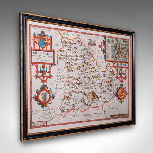
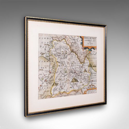
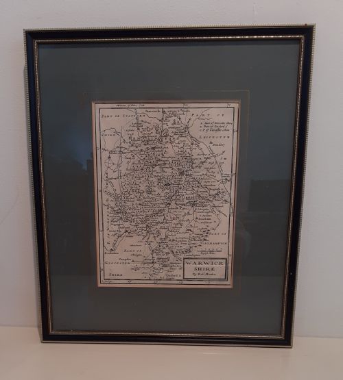
A 17th century wall map encompasses engraved and hand-coloured cartographic sheets issued across the seventeenth and early eighteenth centuries, capturing counties, roads, and regions. Buyers find framed maps, county surveys, and atlas engravings originating from English, Dutch, and Flemish workshops, spanning periods from the early sixteen-hundreds through to around seventeen hundred.
The form appears predominantly as framed wall art designed for interior display, featuring regions such as Hertfordshire, Wiltshire, Staffordshire, and Bohemia alongside broader territories like New Netherlands. These pieces bring historical cartography directly into modern rooms, preserved within traditional wooden and gilt wood frames behind glass.
Materials and construction
Makers produced these works on paper using ink and watercolour, often employing copperplate engraving techniques to press detailed topography and Latin or English text. Finished sheets were subsequently housed in protective timber surrounds of oak or gilt wood and glazed with glass.
Colourists applied watercolours by hand directly to printed paper sheets to highlight boundaries, cartouches, and regional details. Framing methods varied from contemporary mountings to later protective enclosures utilising timber and glass.
17th Century Wall Map Retail Price Guide 2026
Typical asking prices for 17th century wall map among the pieces listed under this phrase on Sellingantiques today, from the lower quarter to the upper quarter. They describe what is for sale here now, not the wider market.
Current listings feature paper, oak, glass, and gilt wood materials applied across seventeenth-century and eighteenth-century map formats.
Factors determining quality
Quality rests upon the clarity of the original ink impression, the vibrancy and precision of the hand colouring, and the overall preservation of the paper sheet. Stronger impressions reveal sharper line work across the cartography and text.
The presence of early framing materials, such as period oak or gilt wood, alongside the historical significance of the cartographer, distinguishes finer examples. Condition issues like staining or fading naturally influence the visual impact of the piece.
John Speed·Blaeu·Johannes Janssonius·Robert Morden·C. Ogilby
The 17th Century Wall Map Glossary
- Atlas engraving
- A map plate originally produced for inclusion in a bound atlas volume rather than separate publication. These plates often retain central folds or binding marks from their early format.
- Cartography
- The science and art of map-making, encompassing geographical measurement and decorative pictorial elements. Seventeenth-century examples frequently integrate elaborate title cartouches and heraldry.
- Cartouche
- An ornamental frame or tablet on a map enclosing the title, scale, or dedication. These decorative enclosures often display intricate artwork characteristic of the period.
17th Century Wall Map: Frequently Asked Questions
How do I hang a framed map safely?
Protect the paper and glass by mounting the frame securely on interior walls away from direct sunlight and damp conditions.
Ensure appropriate fixings support the weight of the timber and glass assembly to prevent strain on the antique frame.
Were these maps originally displayed on walls?
Many sheets were initially bound within atlases or issued as loose copperplate engravings rather than hung immediately.
Later framing preserved these survivors for wall display, transforming working geographical documents into decorative interior art.
How can I tell the period of a map?
Examine the paper quality, typography, Latin or English text styles, and stylistic markers associated with seventeenth-century cartography.
Cartographer attribution and published dates inscribed on the plate provide clear indicators of the era of manufacture.
Why do some maps feature text on the reverse?
Publishers frequently printed descriptive geographical text on the back of atlas sheets to accompany the map image.
Double-sided examples reflect this traditional publishing practice, where historical commentary complemented the engraved plate.