Sellingantiques.co.uk Logo
 4,713 antiques pages browsed today 0 antiques uploaded 27 July
ANTIQUE #SA625174

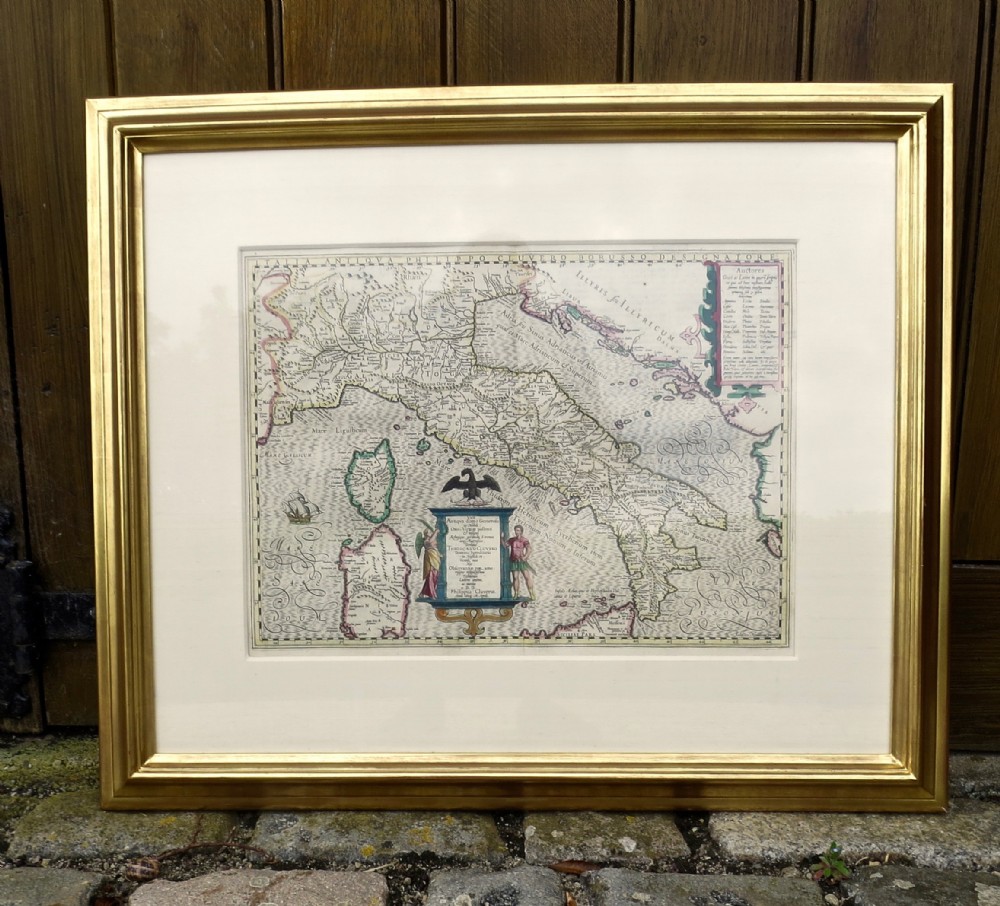
17th Century Map Of Italy By Cluver

Status: This item has been sold
Sold by: Quiet Street Antiques of Bath

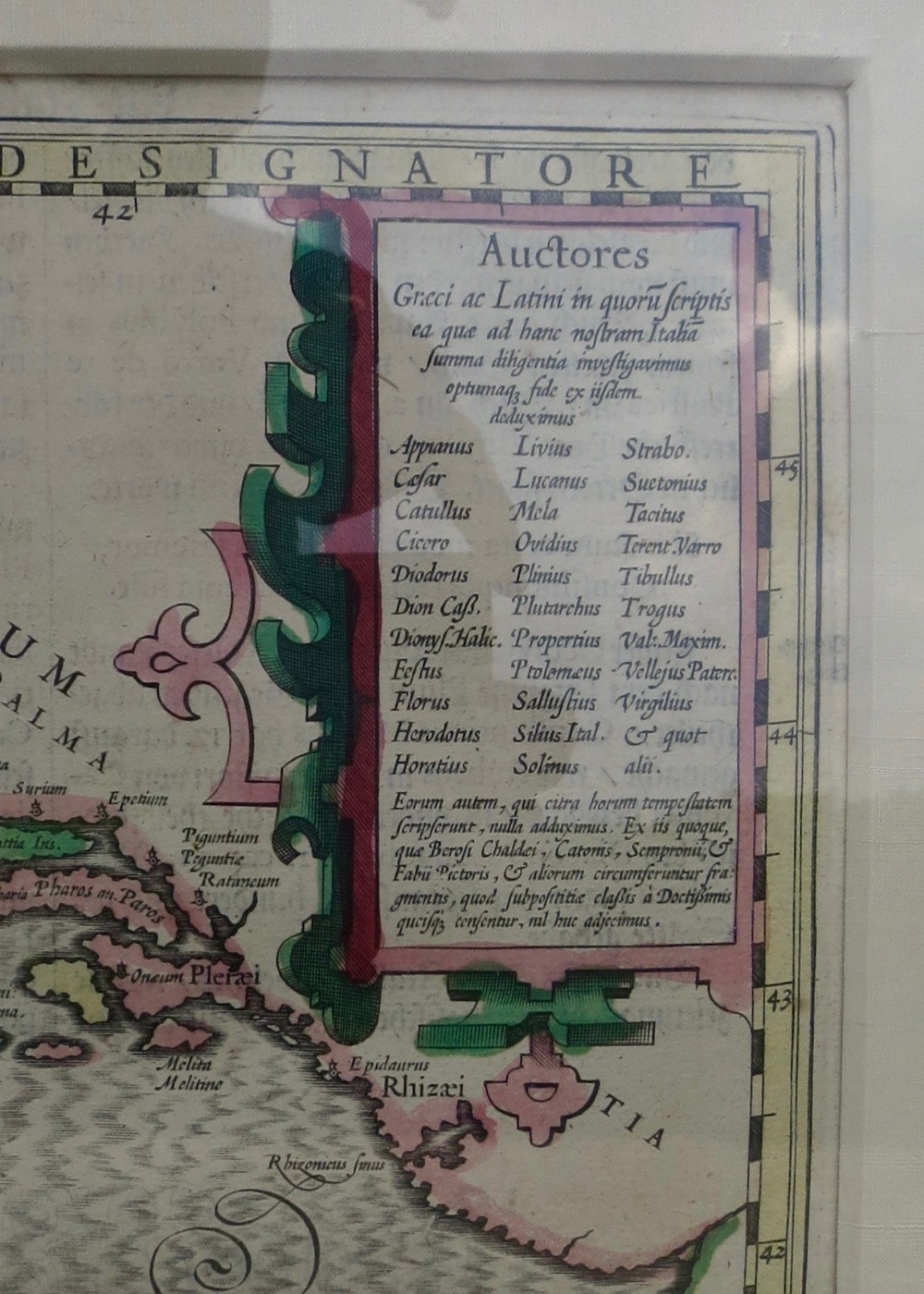
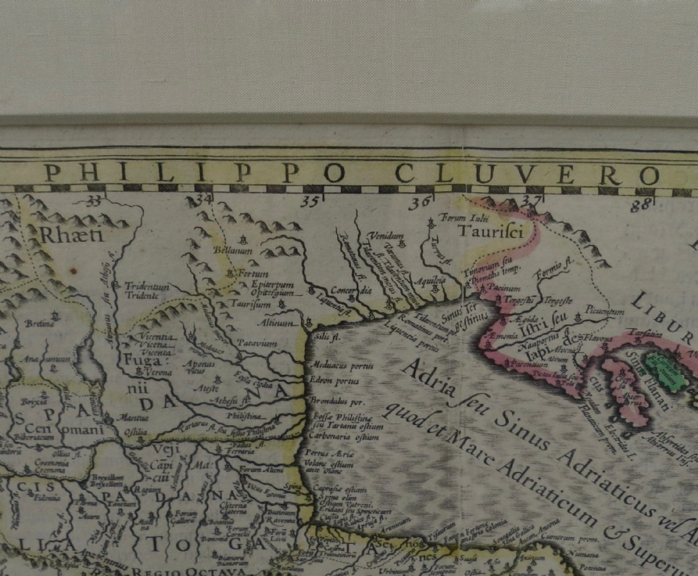
An early 17th century gilt-framed MAP OF ITALY by Philip Cluver (Philippus Cluverus in Latin).
 
This hand-coloured map, which includes Corsica, Sardinia and part of Sicily, is well detailed and is dated 1603. Image size: 20 x 15ins excluding the frame.
 
***Philip Cluver, born 1588, was an early German geographer and historian. His first historical work was published in 1611, though his maps were produced some years earlier. He travelled extensively in England, Scotland and France, always on foot and finally settled in Leiden (Netherlands) where he died in 1622.
 
Shop Open: 10.00am - 6.00pm Monday-Saturday (Closed Sundays)
 
Internal Reference: 1995
Antique ID Number (AIDN): SA625174
Dateline of this antique is Before 1700
Height is 38cm (15.0inches)
Width is 51cm (20.1inches)
Depth is 4cm (1.6inches)
Antique SA625174 shown on this page was made in Before 1700. For historical context, the timeline below highlights the period when it was created:
←1700
Famous inventions historic timeline graphic to help to give historical context to the date of this antique.
CONTACT DETAILS OF SELLER:
QUIET STREET ANTIQUES OF BATH PROFILE PHOTO WHICH LINKS TO DEALER PAGE
Quiet Street Antiques of Bath
FINE ANTIQUES AT SENSIBLE PRICES
Somerset
United Kingdom
Tel: 01225 315 727 or
07493 889 573
STATUS
THIS ITEM HAS BEEN SOLD