











Vintage Printed Map
When you search for vintage printed map, you encounter centuries of cartography captured on paper and bound in wood, glass, and brass.
Vintage Printed Map
A vintage printed map covers engraved and inked depictions of regions, towns, and continents from various centuries. These paper works span county surveys, regional charts, and world overviews created by prominent cartographers.
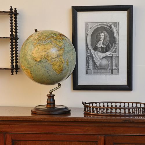
The selections on this page are most commonly framed maps and atlas engravings originating from the seventeenth, eighteenth, and nineteenth centuries. Alongside wall maps, one finds terrestrial globes and related cartographic items.
Origin points range from English county surveys to Dutch atlas plates and French continental cartography. Each piece records the geographical knowledge and decorative conventions of its specific period.
Factors that separate examples
Quality rests upon the clarity of the plate impression, the precision of the engraving, and the reputation of the cartographer or publisher. Sharper lines and well-preserved paper indicate a superior printing run and careful storage.
The distinction also lies in the completeness of the margins, the vibrancy of any contemporary hand-colouring, and the historical significance of the region depicted. Finer mountings, original frames, and well-maintained surfaces elevate certain pieces above standard reference sheets.
Listings feature paper maps, globes, and wooden folio stands spanning the seventeenth century to the 1930s.
John Speed·Robert Morden·Joan Blaeu·Thomas Jefferys·George Philips and Son
The Vintage Printed Map Glossary
- Cartography
- The study and practice of making maps. It encompasses the scientific measurement and artistic rendering of geographical data.
- Atlas
- A bound collection of maps published together. These volumes provided comprehensive geographical reference material for scholars and travellers.
- Cartouche
- A decorative frame enclosing the map's title, scale, or publishing details. They often featured elaborate heraldic, botanical, or allegorical illustrations peculiar to the period.
- Folio stand
- A piece of furniture designed to hold large flat sheets of paper, prints, and maps. These stands allowed for the safe storage and browsing of unbound atlases and engravings.
Vintage Printed Map: Frequently Asked Questions
How do I date an antique map?
Dating relies on internal evidence such as the spelling of place names, the cartographer's imprint, and historical boundaries shown on the sheet. Reference books and publisher catalogues help match these details to known printing eras.
Paper characteristics, watermark analysis, and printing techniques also provide clues. Comparing the geographical data to historical political changes narrows the window of creation.
Were these maps originally in books?
Many printed maps began life folded inside atlases, travel books, or official reports rather than hanging on walls. Publishers bound these plates to illustrate contemporary geographical knowledge for readers.
Separation from their original bindings often happened centuries later for framing and display purposes. Evidence of vertical or horizontal folds frequently remains visible on the paper.
How should I care for a framed map?
Framed maps require protection from direct sunlight to prevent the fading of printer's ink and watercolours. Ultraviolet-filtering glass helps shield the delicate paper from harmful rays.
Maintaining stable indoor humidity prevents the paper from warping, foxing, or becoming brittle over time. Hanging pieces away from heat sources ensures the wood frames and paper supports remain stable.