



Paper Terrestrial Globe
A paper terrestrial globe maps the world in miniature, offering a tangible piece of cartographic history that anchors a desk or library room.
Paper Terrestrial Globe
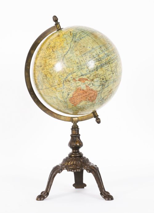
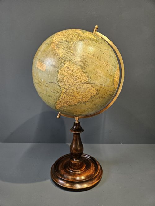
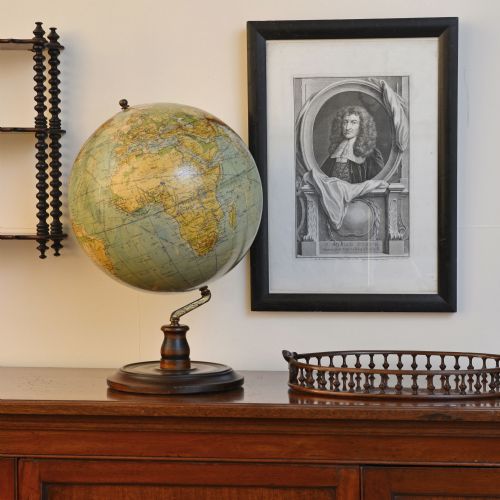
A paper terrestrial globe brings together geography and decorative arts, taking the form of desk globes, table globes, and larger library globes. When you search for this phrase, you encounter pieces that span from the eighteenth century through the Victorian era and into the interwar and mid-century periods.
The most common examples on this page date from the interwar period and the nineteenth century, often measuring between four and twelve inches in diameter. Makers mounted these spheres on stands of wood, brass, or cast iron, creating portable instruments for study and display.
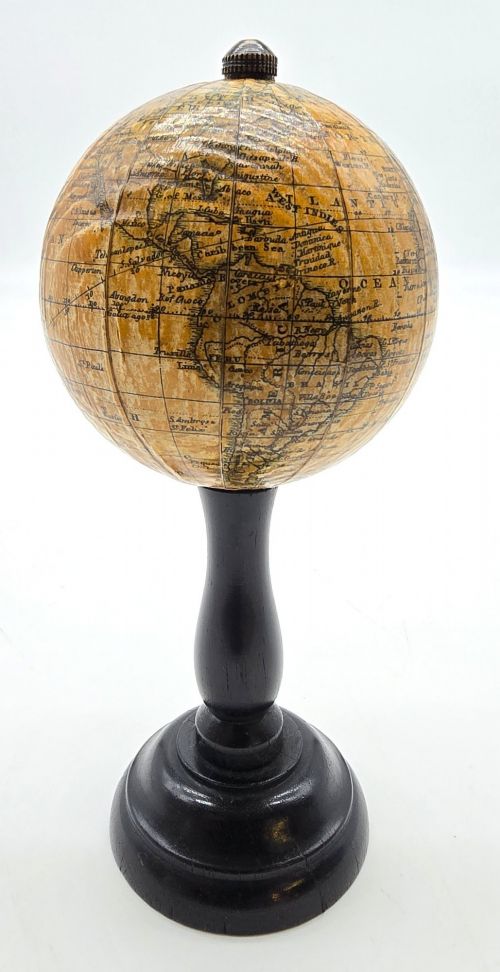
Makers produced these objects in varied sizes, from miniature globes intended for small desks to floor-standing models. Each piece reflects the geopolitical boundaries and cartographic knowledge of its specific production year.
Materials and construction
Craftsmen built the core sphere using plaster over a papier-mâché or paper base, forming a lightweight yet durable round body. They then applied printed paper gores - narrow, lunate strips of paper showing the map of the world - by hand, aligning each segment carefully across the sphere.
Mountings incorporated brass for meridian rings and hour circles, while stands utilised turned wood such as mahogany, walnut, or ebonised wood. Cast iron also appeared in bases, providing stability for larger table and floor models.
Materials recorded across the inventory include papier-mâché, plaster, mahogany, walnut, and ebonised wood alongside traditional printed paper gores.
Markers of quality
Quality rests in the precision of the paper gore alignment and the clarity of the lithographic or engraved cartographic printing. Finer examples retain their original surface varnishes, which protected the paper without yellowing heavily over decades.
The sophistication of the stand dictates the overall craftsmanship, with heavier brass meridians, detailed graduations, and finely turned wooden bases separating standard classroom instruments from luxury library pieces.
George Philips and Son Ltd·G and J Cary·Malby·Geographia·Bacon·J Forest·Lebegue and Cie·Chandy Charan and Co·Carl Adami·Raths·Hammond·Crunchley
The Paper Terrestrial Globe Glossary
- Gores
- Narrow paper strips printed with cartographic segments that are applied to the sphere to form the map of the earth. These paper sections require exact alignment by the maker.
- Meridian ring
- A vertical metal circle, usually brass, that surrounds the globe and holds it at the correct axial tilt. It often bears degree markings for navigational calculations.
- Hour circle
- A small metal dial positioned at the North Pole of the globe to help calculate time differences across longitudes. It rotates independently or fixes to the meridian.
- Plaster sphere
- The solid substrate formed over a papier-mâché core that provides the round foundation for the printed paper map. It gives the globe its substantial weight and rigidity.
- Table globe
- A self-contained globe designed to sit directly on a desk or table surface, usually supported by a horizon ring and short stand rather than a floor pedestal.
Paper Terrestrial Globe: Frequently Asked Questions
What do the dates on the globe mean?
The date printed on the gores typically indicates the year the cartographic plates were engraved or updated by the publisher. Publishers often used the same plates for several years after the initial publication date.
To determine the actual manufacturing period, examine the geopolitical borders shown on the map alongside the materials used for the stand and the mounting hardware.
Can I use the globe to tell current time?
Historic globes reflect the time zones and geographical borders of their specific production era, such as the Victorian period or the interwar years. Using them for modern navigation or current time zones is inaccurate.
Instead, these pieces function as historical records of how previous generations viewed the world, showing lost empires, old colonial territories, and historical place names.
How do I tell an 18th-century globe from a 20th-century one?
Examine the style of the cartography, the typography used for place names, and the construction of the wooden stand. Eighteenth-century models often feature hand-coloured engraving and specific Georgian or Regency turning styles on the timber.
Twentieth-century pieces, such as those from the 1920s and 1930s, typically rely on machine lithography for the map and employ interwar or art deco styling in their bases and meridian rings.